Airspace. Land grabs. Lawsuits. Radio signals. What the government has actually put on paper.
Area 51: The Public Record
The airspace, land seizures, lawsuits, declassified histories, and radio signals around the most famous secret base in America, built only from what the government and named researchers have actually put on paper.
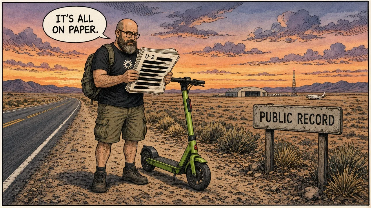
The original field note
Signals in the Restricted Desert: Area 51's FM Transmitters
Two synthetic-music FM stations transmit from inside the Nevada test ranges. The public evidence points toward passive-radar, calibration, or electronic-warfare work—but the gate motion sensor is a separate system entirely.
Read the original →Start with these
When the CIA Finally Said "Area 51"
The 2013 FOIA release of the CIA's U-2/OXCART history put Area 51 on a declassified map—as a Cold War flight-test site, not a UFO warehouse.
Open the file →Freedom Ridge, White Sides, and the Shrinking View
Congress and BLM moved the public line: 1984's Groom Mountain addition, 1995's White Sides buffer, and a 2026 temporary closure around Tikaboo Peak.
Open the file →Janet: The Commute Nobody Boards Without a Badge
White 737s with a red stripe ferry cleared workers from Las Vegas to the classified Nevada ranges. Public planes, private passenger list.
Open the file →Storm Area 51: What Actually Happened
A viral Facebook raid became a dusty festival weekend: thousands in the desert, dozens at the gate, no base entry, few arrests.
Open the file →Tonopah Test Range: Area 52 on Letterhead
Sandia's Tonopah Test Range is a 1957 DOE weapons-test support site. "Area 52" is a nickname; the mission statement is instrumentation and security.
Open the file →R-4808 and the Dreamland Box
FAA restricted airspace around Groom Lake is the public aviation face of Area 51-pilots get charted boxes, not UFO lore.
Open the file →ET Highway, Rachel, and the Black Mailbox
Nevada renamed SR-375 the Extraterrestrial Highway in 1996 to sell tourism next to a base it could not officially discuss.
Open the file →Toxic-Burn Cases and the Presidential Secrecy Exemption
1990s worker and widow suits alleged open-pit hazardous burns at Groom Lake; a RCRA presidential exemption blocked classified disclosures.
Open the file →Perimeter Sensors in the Public Record
Hobbyist archives document that intrusion sensors exist near Groom Lake; this file covers existence and public IDs only-no map, no how-to.
Open the file →Camo Dudes in the Public Record
Perimeter security at Groom Lake shows up in press as contractor labor-EG&G guards even struck in 2001-not as a fan-evasion guide.
Open the file →Tikaboo Peak: The March 2026 BLM Temporary Closure
BLM closed ~22,987 acres around Badger Mountain on Mar 25 2026 citing public safety under FLPMA-documented order, debated motives.
Open the file →Everybody knows Area 51 exists. Fewer people know how much of it is on paper. The CIA published its own U-2 history naming the base in 2013. The government took the hills overlooking it in two public land withdrawals, in 1984 and 1995. Workers sued over what was burned there, and the White House exempted the site from environmental disclosure while the case was in court. The airspace has a number, the commuter flights leave from a terminal at Las Vegas’s main airport, and hobbyists with scanners have logged its radio traffic for decades.
This section collects that record, one file at a time. It started with the FM transmitters broadcasting synthetic music from inside the ranges and grew from there.
Latest (September 26, 2026): two helicopter callsigns nobody had heard in the NTTR before, SUPER 61 and 66, flew a mission out of Tonopah with stations named “Sonic” and “Gabby” on the net. Watchers suspect a passive-radar test. It’s unconfirmed, but it fits. The new entry in the FM-signals field note.
How this is built. Every claim traces to a source you can check: declassified agency histories, court records, the Federal Register, FAA airspace data, newspapers of record, and researchers publishing under their own names. Rumors are labeled as rumors. UFO lore gets explained, not endorsed.
What is deliberately left out. No coordinates, no routes toward the boundary, no sensor locations, no radio details beyond what the original field note already covers, and nothing that helps anyone test or get around security. The boundary is enforced with deadly force authorized, and this is a history project, not a trip plan.
All 11 files
The Paper Trail 4 files
- 01Read
- 02Read
- 08Read
- 11Read
Getting There, and Not 3 files
- 03Read
- 06Read
- 07Read
Signals & Security 2 files
- 09Read
- 10Read
Neighbors & Legends 2 files
- 04Read
- 05Read