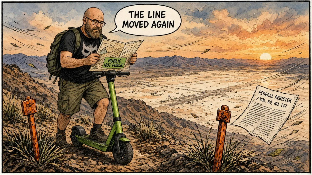
The closest legal overlooks did not vanish in a UFO movie. They vanished in the Federal Register—acres at a time.
The short version
- In 1984, Congress withdrew about 89,600 acres of the Groom Mountain Range as an addition to Nellis Air Force Range for electronic-warfare and related training.
- In 1995, BLM approved a further ~3,972-acre White Sides buffer so the Air Force could shut public access to the Freedom Ridge / White Sides vantage area.
- Those moves are why “the closest legal view” kept stepping farther back—long before internet raid memes.
- In March 2026, a BLM temporary closure of roughly 22,987 acres around Badger Mountain (including the Tikaboo Peak public-viewpoint complex) closed another chapter of public access.
- Motive arguments are loud; the primary documents mostly talk about security buffers, safety, and conflict among land users.
- This is a property-law story with a mythology soundtrack.

Congress draws a bigger box (1984)
Public Law 98-485, signed October 17, 1984, is refreshingly blunt for an Area 51 document. It withdraws the lands on a map titled “Groom Mountain Addition to Nellis Air Force Range,” about 89,600 acres in Lincoln County, from public-land appropriation—including the mining laws (but not mineral and geothermal leasing). The Air Force gets them for electronic-warfare training, tactical maneuvering, air support, and other defense uses no harsher on the land than that training.
The 1984 Act built in a sunset: withdrawal and Air Force use rights terminated December 31, 1987, and could not be extended except by another Act of Congress. Interior had to publish a legal description in the Federal Register. That is not a conspiracy pamphlet. That is how the United States expands a range on paper.
Later renewals kept the box on the map. The point for this dossier is the public mechanism: Congress moved the line.
Freedom Ridge and White Sides (1995)
By the early 1990s, Freedom Ridge and White Sides had become the open secret of open secrets—public ground close enough that people with long lenses and patience could see the lakebed installation without inventing a teleport. The Air Force’s answer was not a press tour. It was another withdrawal.
The Federal Register notice of April 20, 1995 (BLM) records the approved plan amendment: implement a U.S. Air Force proposal to withdraw 3,972 acres in Lincoln County as a security and safety buffer next to the already-withdrawn Nellis Air Force Range. Public access, recreation, and mineral activity on those acres: prohibited. Building a new base campus or bombing range on them: not allowed. Posting, warning signs, and sensors along the boundary: allowed.
Los Angeles Times coverage that June treated the nearly 4,000-acre handoff—including Freedom Ridge—as Interior giving the Air Force the vantage points. Tikaboo Peak shows up in the same era’s public conversation as a farther public vantage discussed after the buffer closed. The romance dies; the surveyor’s notes remain.

Tikaboo, temporarily closed (2026)
On March 25, 2026, BLM’s Caliente Field Office closed about 22,987 acres around Badger Mountain to all public access and entry, effective 4:00 p.m. that day, for at least a year or until conditions are reassessed. The legal hooks are FLPMA and 43 CFR §8364.1. The stated reasons are protecting persons, property, public lands, and resources—and avoiding conflict among public-land users.
Dreamland Resort logged new off-limits signs around Tikaboo Peak by May 1, 2026—and updated map overlays soon after. Watcher commentary often assumes Air Force security pressure behind a “public safety” label. That may be true. It is also not what the BLM PDF says. ErrorZap rule: quote the order, then label the inference.
No routes. No “alternate summit guide.” Just the fact that the public map got smaller again, in writing.
Why land law beats lore
Every viral Area 51 story wants a force field. The public record offers something duller and more powerful: withdrawal. Mining claims, grazing overlays, recreation access, and viewpoint culture all live or die on whether Interior and Congress still treat a ridge as public.
That is also why the 2013 CIA U-2 history and these Federal Register pages belong in the same section. One admits the flight-test base existed. The other shows how the civilian world was told, acre by acre, to stand farther back while it did.
If you want mystery, read the myths. If you want the mechanism, read the withdrawals.
PL 98-485 withdraws ~89,600 acres for Air Force electronic-warfare and related training.
1984 Act's withdrawal term ends Dec 31, 1987 unless Congress renews—later statutes keep the box alive.
BLM decision record: 3,972 acres closed to public access as a security/safety buffer (Freedom Ridge / White Sides era).
CIA U-2 history FOIA release officially prints "Area 51" while the perimeter land story is already decades old.
Viral raid joke meets already-hardened boundaries; see Storm Area 51.
BLM closes ~22,987 acres around Badger Mountain to public entry for at least a year.
Sources
- Public Law 98-485 (Oct. 17, 1984) — Groom Mountain Addition
- Federal Register, Apr. 20, 1995 — White Sides land withdrawal amendment (3,972 acres)
- BLM Temporary Closure Order — Badger Mountain / ~22,987 acres (Mar. 25, 2026)
- Dreamland Resort — Area 51 News and Timeline (Tikaboo May 1, 2026 note)
- Dreamland Resort — Freedom Ridge and Roadblock Canyon (public vantage history)
- Los Angeles Times — Extraterrestrial Highway designation (Feb. 3, 1996)