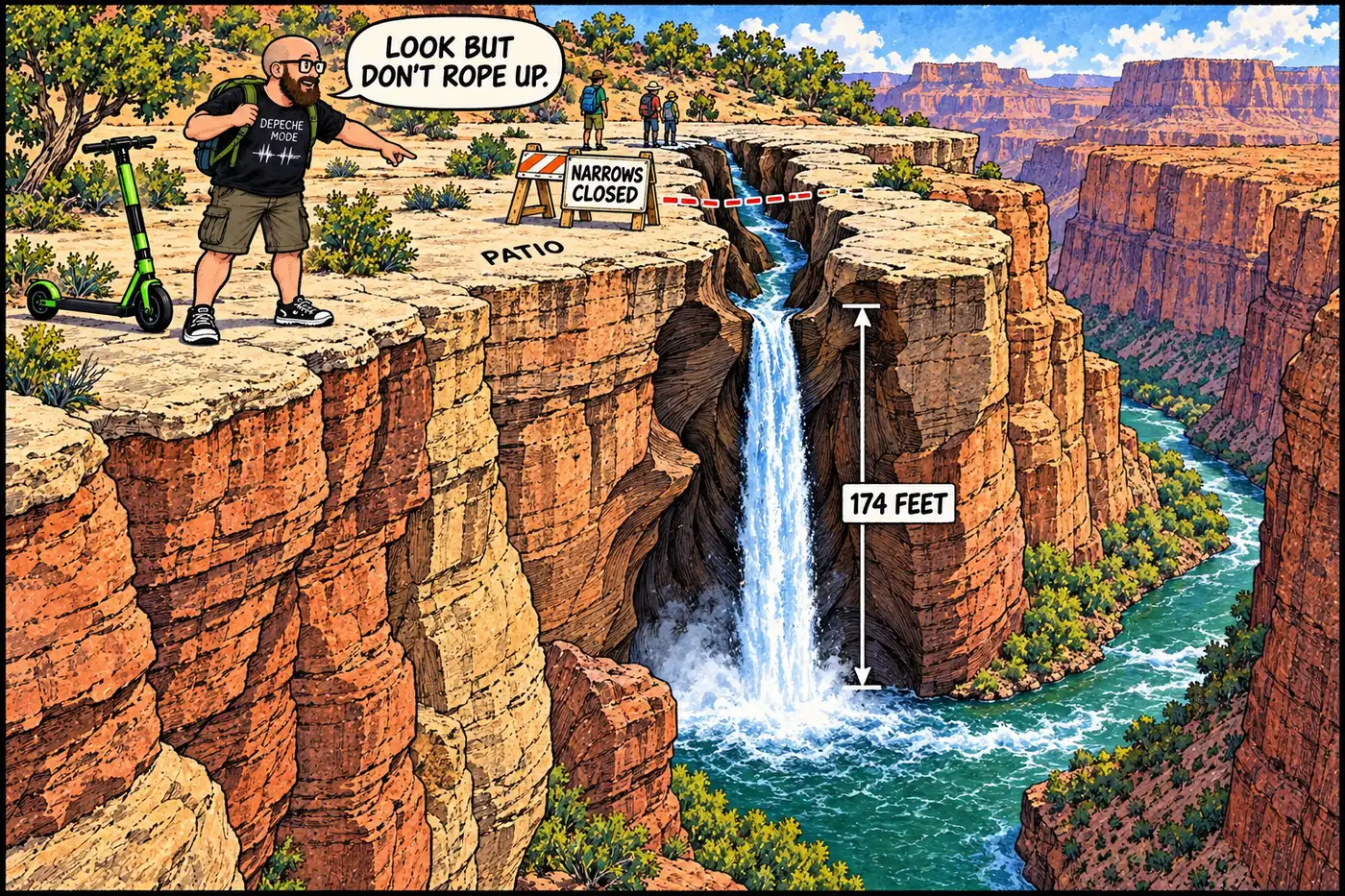
At River Mile 136.9, Deer Creek does what every other Grand Canyon side stream does: it drops off the wall and hits the Colorado River. What makes it different is that the last few hundred feet above that drop are legally off-limits to climb, and the National Park Service says so in exactly one sentence: it's for a significant cultural resource.
The short version
- Deer Creek meets the Colorado River on river right at Mile 136.9, after sliding across a limestone promenade called “the Patio” and diving through a slot canyon known as the Narrows.
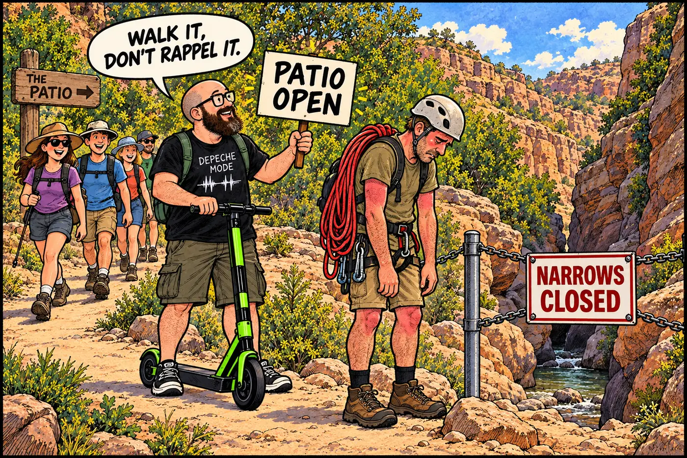
- Climbing or rappelling in the Narrows — with or without ropes — is banned by the current Superintendent’s Compendium, citing 36 CFR § 1.5(a)(2), specifically “for the protection of a significant cultural resource.”
- The hiking trail to Deer Creek Falls itself stays open; only the technical narrows between the Patio and the base of the falls are closed.
- The Kaibab Band of Paiute Indians describes the narrows as spiritually significant — their Cultural Resource Director has publicly called it “our gateway to the spirit world.”
- NPS’s own falls-height figure is 174 feet, dropping from an alcove carved into the Tapeats Formation.
- The restriction isn’t new: the same no-climbing, no-camping language for this stretch already existed in Grand Canyon’s 1988 Backcountry Management Plan.
The Patio, the Narrows, the falls
Deer Creek is a right-bank tributary that meets the Colorado River at Mile 136.9, fed by Deer Spring and a set of other perennial sources that, per NPS trip-planning material, “have attracted people since prehistoric times” — turning a stretch of otherwise brutal desert canyon into a green oasis of moving water. In its last half-mile before the river, the creek runs across an open limestone shelf that NPS calls “the Patio,” then narrows abruptly and drops through a slot cut into the Tapeats Formation — the Narrows — before free-falling into the Colorado.
NPS’s own description doesn’t undersell it: the Narrows are “carved from the hard, resistant Tapeats Formation” and, in the agency’s own trip-planning language, “enchanting.” Deer Creek Falls itself, at the bottom, is listed by NPS’s photo and video library at 174 feet.
None of that geography is a secret — it’s described in NPS’s own public trail-planning documents. What’s restricted is one specific activity in one specific stretch.
What’s actually off-limits (and why)
The Superintendent’s Compendium — Grand Canyon’s official closure rulebook, effective June 16, 2026 — spells it out under a heading of its own:
“Climbing and/or rappelling (ascending or descending) in the creek narrows, with or without the use of ropes or other technical equipment, is prohibited. This restriction extends within the creek beginning at the southeast end of the rock ledges, known as the ‘Patio’ to the base of Deer Creek Falls.”
The cited authority is 36 CFR § 1.5(a)(2), the same general closure regulation used throughout the park. The compendium’s one-line explanation for why is unusually blunt by federal-rulebook standards: “This restriction is necessary for the protection of a significant cultural resource.” It doesn’t name the resource, describe it, or give a location more specific than the narrows themselves — which is consistent with how NPS and tribes generally handle sensitive cultural sites in the canyon: protect the “what and why,” withhold the “exactly where.”
Crucially, the ban is narrow in scope. It’s climbing and rappelling inside the narrows, from the Patio down to the falls — not the drainage as a whole. NPS’s own hiker trip-planning sheet for the Thunder River/Deer Creek trail is explicit: “The trail from the river to hiker campsites and points up-canyon remains open.” Hikers can still walk to Deer Creek Falls and the Patio; they can’t descend or ascend through the technical narrows below it. The compendium separately restricts camping in roughly the same half-mile stretch — no river-trip camping within a quarter mile upstream or half mile downstream of the confluence, and backcountry camping in the wider Deer Creek Use Area limited to designated sites only.
This isn’t a new rule dressed up for a modern audience. Grand Canyon’s 1988 Backcountry Management Plan already listed “Deer Creek from the Colorado River to the upper end of the narrows” among areas closed to camping — the protective posture around this stretch of creek predates the current compendium by decades.
What the Southern Paiute say about it
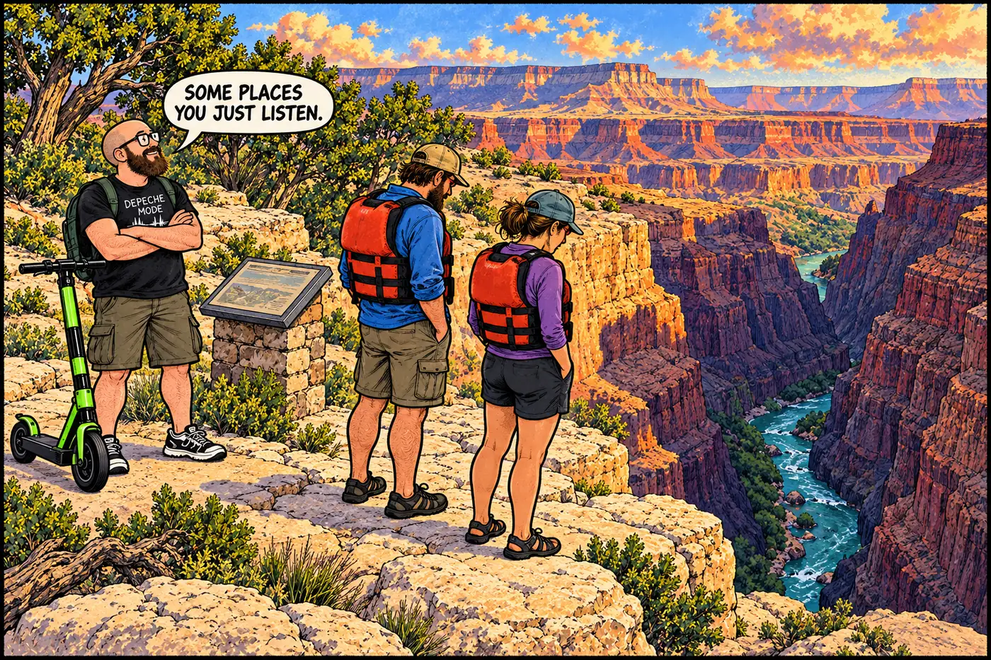
Grand Canyon’s National Park Service doesn’t get to define cultural significance on its own — and here, it hasn’t tried to. The Kaibab Band of Paiute Indians, whose ancestral homeland includes the North Rim and stretches of the inner canyon, has spoken publicly about Deer Creek’s place in Southern Paiute belief. Daniel Bulletts, the Band’s Cultural Resource Director, described the narrows this way in comments carried by Grand Canyon Conservancy, the park’s official nonprofit partner: “[Deer Creek] is our gateway to the spirit world. Our family will meet us to take us to the last place we’ll ever be.”
That’s about as direct as a public tribal statement on a sacred site gets, and it lines up cleanly with the compendium’s otherwise terse “significant cultural resource” language — the regulation and the belief it’s protecting are, by the tribe’s own account, the same thing. The Kaibab Band also works with NPS as an advisor, taking part in monitoring trips that track how water flow and visitor traffic affect cultural sites along this part of the river corridor. It’s a rare case in the what’s off-limits file where the “why” isn’t classified, redacted, or left to speculation — the affected tribe has said it out loud, and the rule matches what they said.
A crowded stop on a quiet river
Deer Creek isn’t remote by Grand Canyon standards. It’s one of the most popular stops on a commercial or noncommercial river trip, and NPS’s own river-trip literature treats it as a predictable pinch point. The agency’s trip-planning notes warn hikers to “be prepared to encounter large groups of day hikers, especially May through September,” and NPS’s river-courtesy brochure for boaters flags the water “near Tapeats Creek and Deer Creek” as one of the harder stretches of river on which to find an uncrowded camp, urging trips to “communicate with other groups to avoid congestion.” Separately, NPS’s noncommercial river-trip regulations list Deer Creek among the side streams boaters should avoid using as a drinking-water source, due to inconsistent water quality.
Put together, that’s the ordinary tension running through Deer Creek: a heavily visited, short, spectacular hike that a lot of people want to see, sitting directly on top of a landscape that one of the region’s tribes has publicly identified as sacred. The compendium’s fix isn’t to close the area — it’s to draw the line at the one activity, in the one stretch, that would put boots and ropes directly through it.
Perennial springs at Deer Creek, Thunder River, and Tapeats Spring draw sustained human use long before NPS trail documentation begins, per NPS trip-planning material.
Grand Canyon becomes a national park; Deer Creek's springs and falls sit within its western river corridor.
NPS's 1988 plan already lists "Deer Creek from the Colorado River to the upper end of the narrows" as closed to camping.
Grand Canyon Conservancy publishes Kaibab Band Cultural Resource Director Daniel Bulletts's public statement describing Deer Creek as "our gateway to the spirit world."
The Superintendent's Compendium effective June 16, 2026 continues the Patio-to-falls climbing/rappelling ban under 36 CFR § 1.5(a)(2), citing protection of a significant cultural resource.
Sources
- Grand Canyon National Park Superintendent's Compendium, effective June 16, 2026 — National Park Service
- Thunder River Trail and Deer Creek — trip-planning sheet — National Park Service
- Deer Creek Falls B-Roll Video — National Park Service Photos & Multimedia
- Grand Canyon River Courtesy: Helpful Tips for All River Voyagers — National Park Service
- Noncommercial River Trip Regulations, revised December 20, 2024 — National Park Service
- Backcountry Management Plan, September 1988 — National Park Service
- The Southern Paiute Connection to Grand Canyon's North Rim — Grand Canyon Conservancy