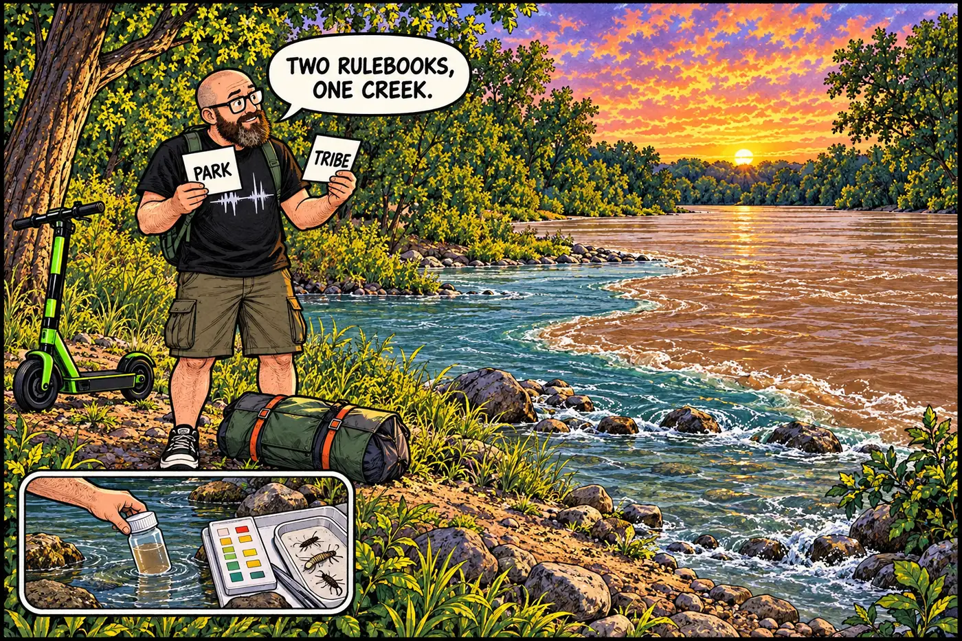
Havasu Creek is not just a blue-green photo stop off a Colorado River trip. It is a working tributary, a flood channel, a place where the park meets the Havasupai Tribe's land, and a useful test of whether a visitor has read the actual rules rather than a trip caption.
The short version
- Havasu Creek carries perennial water to the Colorado River, builds travertine pools, and can move destructive sediment in a flash flood.
- Supai belongs to the Havasupai Tribe’s homeland and jurisdiction, not to a park-managed recreation district.
- The park’s June 2026 rule closes the lower creek drainage and nearby Colorado River shore to camping; it does not say that every visit to the confluence is prohibited.
- Entry onto tribal land is governed by the tribe. Its 2026 tourism rules require advance bookings for visitors; NPS says no day hiking on the reservation.
- A real monitoring program and native-fish work make the tributary more than scenery. Neither turns it into a public water-treatment plant or a safe place to assume the creek never floods.
Two jurisdictions, one creek
The easy mistake is to treat the whole canyon as if it were one attraction managed by Grand Canyon National Park. NPS says Supai Village is on land administered by the Havasupai Tribe, outside the park’s boundary and jurisdiction. The tribe calls itself the Havasu Baaja, People of the Blue Green Waters. On its own website, the tribe describes spring water as sustaining the village and its fields of corn, squash and beans. It also notes that mail goes into and out of Supai by mule. This is a community’s water and home, not a park concession with a waterfall attached.
The lower part of the creek meets the Colorado inside the river corridor. There, NPS has its own camping rule. Farther within tribal land, the tribe sets its own visitor rules. A Colorado River trip permit is not a substitute for tribal permission. Conversely, a tribal campground booking does not cancel a park camping closure. For the larger picture of adjacent sovereign lands, see Havasupai lands and infrastructure and what is off-limits.
As of September 23, 2026, the tribe’s tourism FAQ says all visits require a booking made before arrival and describes its visitor bookings as four days and three nights. NPS’s 2026 Havasupai page says plainly: no day hiking. The tribe also reserves the power to close all or part of its lands. None of those statements establishes a walk-in exception for a river party. If you have not confirmed the current applicable permission, do not guess from where your boat happens to be parked.
Water that builds, water that removes
USGS describes Havasu Creek as a perennial tributary whose water supports riparian vegetation and forms travertine pools and waterfalls. The tribe’s account puts the spring and the community in the same sentence for a reason: reliable water has human uses here. The postcard color is real, but a color is not a flow forecast. The sources reviewed for this page do not establish a precise chemical explanation for the color, so there is no magic-mineral story here.
A USGS history of Havasu flooding documents what happens when the other side of this watershed shows up. In 1990, a major flood altered travertine in the lower canyon and damaged Supai. Smaller floods in 1992 and 1993 eroded waterfalls, filled pools with gravel, damaged vegetation and carried coarse debris into the Colorado River. The creek can build the forms that people come to see and then rearrange them. That is not a contradiction; it is the system.
The park’s account of an August 2008 flood brings the river-corridor risk into focus. A private boating party’s boats were swept away; NPS found the group stranded at the confluence and evacuated them by helicopter. That account is about what happened, not a suggested way to visit or a promise of rescue. The tribe and NPS both warn that closures can happen at any time. NPS lists flood damage in 2018, 2019, 2022 and 2024 as reasons that some areas of Havasu Canyon may be off-limits. Follow current tribal notices for tribal land, not an old photo or someone else’s itinerary.
| Date | What the public record actually shows |
|---|---|
| 1990 | USGS records a major flood that damaged Supai and altered lower-canyon travertine. |
| 1992–1993 | USGS reports additional floods that changed waterfalls and pools and delivered debris to the Colorado. |
| 2008 | NPS documents the loss of a river party’s boats during a Havasu flash flood and a helicopter evacuation. |
| 2018–2024 | NPS identifies multiple years of flood damage affecting visitor areas in Havasu Canyon. |
| June 2026 | The current park compendium states the lower-creek and adjacent-shore camping closure. |
| August 2026 | The tribe says Havasupai is open as of August 31, distinguishing local conditions from flooding elsewhere in Grand Canyon National Park. |
A field station, not just a swimming picture
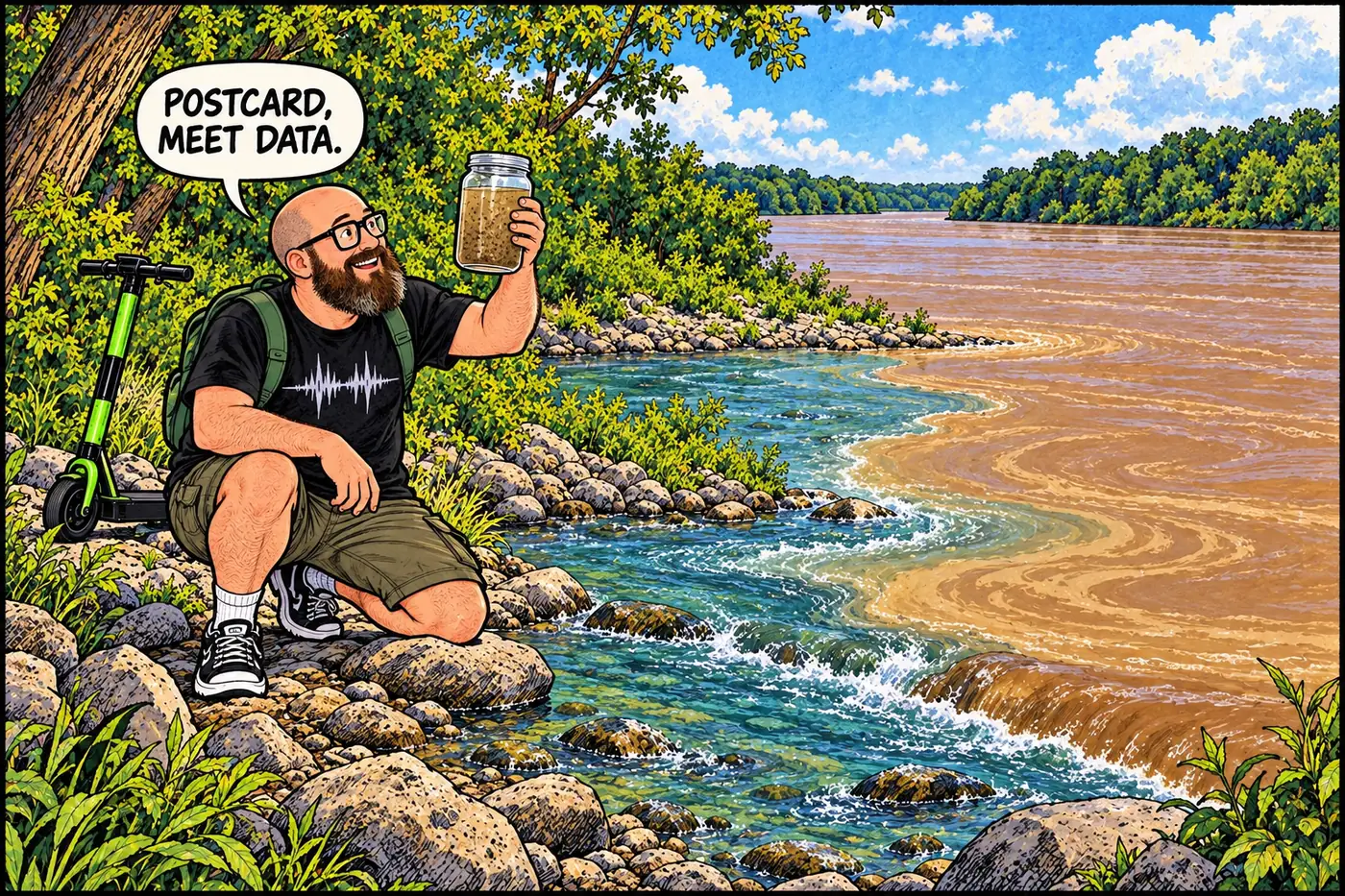
USGS says its Grand Canyon streamflow-and-sediment project takes manual samples and uses automated samplers to measure suspended sediment in Havasu Creek. It also publishes discharge and water-temperature data. The point is not that a sensor can tell you whether a particular bend is safe right now. It is that tributaries add water and sediment to the Colorado; those inputs matter to how the river works. The project’s public description establishes the monitoring program, not a real-time reading for this page.
NPS describes another kind of management work here: moving threatened humpback chub into tributary habitat in Havasu Creek. Its fisheries page says that without high Colorado River flows, fish communities and spawning habitat are isolated in these tributaries, although that isolation may also provide protection from invasive predators. The same side creek is therefore a flood hazard, a sediment source and a refuge with limits. Compare the fish story at Shinumo Creek; no secret infrastructure is needed to make the management complicated.

What’s actually off-limits (and why)
Here is the distinction worth keeping. The Grand Canyon National Park Superintendent’s Compendium, effective June 16, 2026, closes the lower Havasu Creek drainage to camping, along with an adjoining stretch of Colorado River shore. It does not phrase that provision as a blanket ban on all visits to the confluence. Do not turn “no camping” into “no one may ever stop”; do not turn it into “therefore everything else is allowed,” either. Other temporary park notices and river-trip requirements still matter.
On the tribal side, visitor entry is a question for the Havasupai Tribe. Its booking FAQ requires permits and advance bookings for visits, and its government page warns that portions of the canyon can be closed. Its August 31, 2026 update said Havasupai was open despite flooding reports elsewhere in Grand Canyon National Park. That was a dated status notice, not a lifetime pass or a prediction about today’s weather. NPS’s own visitor page warns of flash floods and off-limits areas following past damage; the tribe’s current instructions take priority for tribal land. Respect the tribe’s photography rules too: its FAQ prohibits recording community members, homes and sacred sites and prohibits drones on the reservation.
In other words: separate the park’s camping rule from tribal permission, check both authorities for any changed notices, and leave the creek’s homes and living systems out of the “hidden playground” category. The interesting infrastructure here is mostly invisible in vacation photos: a tribal visitor system, a river management boundary, sediment sampling and fish conservation, all operating beside water that can change the channel faster than a brochure can change its copy.
Sources
- Superintendent's Compendium, June 16, 2026 — National Park Service
- Havasupai Tribe Reservation (updated January 2026) — National Park Service
- About Supai — Havasupai Tribe
- Havasupai Government — Havasupai Tribe
- Official Havasupai Tribe Website, August 31, 2026 update — Havasupai Tribe
- Visitor FAQs and 2026 bookings — Havasupai Tribe Tourism
- When the blue-green waters turn red: Historical flooding in Havasu Creek — U.S. Geological Survey
- River Ranger Crew Blog: Fall 2008 — National Park Service
- Grand Canyon Streamflow and Sediment Project — U.S. Geological Survey
- Addressing Challenges to Native Fishes — National Park Service