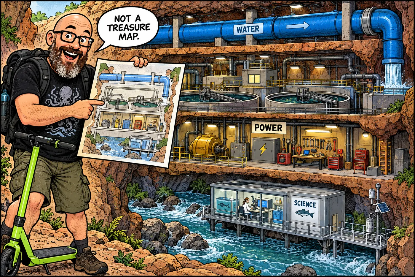
The canyon has a second landscape: pipes that keep taps running, crews that repair them, radio links that don't erase dead zones, and old industrial ground that doesn't become safe just because it is scenic. This is a guide to what the public record supports, not a set of directions to the fenced parts.
The short version
- The historic Transcanyon Waterline moved Roaring Springs water to the South Rim; the replacement shifts that rim’s intake to Bright Angel Creek while retaining a separate North Rim supply. The switch was not complete as of September 23, 2026.
- The August 29, 2026 flood damaged the old system and triggered Stage 4 South Rim water restrictions. A projected November restart is a forecast, not a restored service notice.
- Power, sewage, roads, shuttles, aviation, dispatch and scientific instruments are part of the working canyon too. An approved telecommunications plan is not proof that its proposed towers were built.
- Old mines, operating facilities, caves and cultural places have different legal and practical reasons for closure. Some river stops are day-use only; others prohibit camping or entry. Read the specific rule.
- Tribal communities are sovereign neighbors, not departments of the park. This guide does not disclose protected-site locations, coordinates, sensitive river miles or ways around closures.
How to read this overview
Treat the sections below as a thematic index, not a complete inventory of everything underground or behind a fence. An NPS Superintendent’s Compendium is the baseline for standing park restrictions; incident and trail notices can change the practical picture faster. As of September 23, the park’s September 19 water update still reports Stage 4 restrictions, and its hiking page lists flood closures. The dossier pages are explanations, not current travel clearance.
| Layer | Publicly documented example | What it does not establish |
|---|---|---|
| Water and utilities | Intake, line, storage, treatment, power and wastewater | That water is available today at every tap |
| Communications and operations | Telecom planning decision, park dispatch and closed work areas | A completed tower rollout or uninterrupted signal |
| Industrial history | Orphan Mine’s NPS-led environmental investigation | That every old mine is an EPA-led Superfund cleanup |
| River and cultural protection | Named closures and day-use/camping distinctions | Permission to enter or publish a sensitive-site locator |
| Research | USGS study of dam effects on river resources | A live instrument at every tributary |
Water and the power to move it
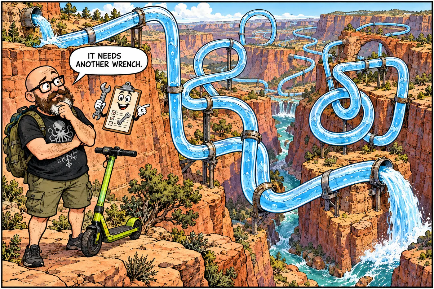
The simplest infrastructure story is also the most consequential. NPS says drinking water arrived at the South Rim by rail from 1901 to 1932. Pumps at Havasupai Gardens followed; construction on the Roaring Springs pipeline began in 1965, and a 1966 flood damaged the project before it was finished. The old Transcanyon Waterline later suffered more than 85 major breaks since 2010, according to NPS. A $208 million contract awarded in 2023 funds its overhaul. The design separates the future South Rim intake at Bright Angel Creek from Roaring Springs’ North Rim role, and includes new treatment, electrical and distribution work. See the system overview, the waterline, Roaring Springs and inner-canyon distribution.
That plan met a real flood on August 29, 2026. NPS reported damage to approximately 40% of the old line between the Phantom Ranch area and the North Rim—not 40% of every water system in the park. It said the new south-side pipeline escaped that flood, while temporary intake construction and treatment commissioning continued. On September 19 NPS projected pumping by November 16, explicitly tentative. For the state of the tanks, follow South Rim storage; for the separate North Rim upgrade, North Rim water (approved May 2026, construction then anticipated for spring 2027); and for a bottom-of-canyon utility cluster, Phantom Ranch utilities.
Water leaves as wastewater. Follow the South Rim plant, Desert View system and 1926 reclamation plant. The plant history is part of water history, not a mystery tunnel. The electrical system and buried conduits and utility corridors show why a pipeline rebuild also means power work. The current compendium separately closes tanks, treatment facilities and the Roaring Springs pumphouse; public-water safety and workplace hazards are sufficient explanations.
Communications, transport and government work
An NPS telecommunications review proposed a framework for towers, small cells and fiber in developed areas. The decision was signed November 19, 2020. Approval is not a construction receipt. Start with radio history, the historic lookout turned repeater site, public-safety radio, interagency links, cellular coverage, microwave, the telephone line, fiber and data, dispatch and aviation communications. The existing communications synthesis is a subject overview, not a site-finding tool here. No frequencies, equipment-at-site details or vulnerabilities belong on this page.
The other backstage network keeps people, supplies and repair crews moving. Read aviation operations, helicopter support, maintenance facilities, the fire base, shuttles, service roads, river support and trail work and ranger stations. NPS explicitly closes its South Rim maintenance/aviation compound to the public for property and employee safety. This is a working yard, not an invitation to reverse-engineer its perimeter.
Industry below the postcard
The Orphan Mine is the starkest example: uranium workings that NPS now investigates under CERCLA. NPS describes a 2009 surface removal and continued monitoring; its upper-mine cleanup analysis is still described as being developed. “CERCLA investigation” does not by itself mean EPA’s National Priorities List. The broader remediation dossier explains the distinction.
Follow Bass Asbestos Mine, Hance Mine, the mine inventory, regional uranium mining and mine hazard policy. There is older municipal residue too: the former South Rim landfill, Marble Flats and Lindbergh Hill. The distinction between a natural void and a worked excavation matters: compare underground Grand Canyon with mines versus natural caves. Neither category is a public invitation to explore openings.

What’s actually off-limits (and why)
The June 16, 2026 compendium closes all mines except for specifically authorized work. It also closes Cave of the Domes without written permission to protect bats, despite its older reputation as a known cave. Read cave management, documented cave research and bat protection. Old mining openings, caves and a limestone river alcove are not interchangeable labels.
The same rulebook closes South Rim and North Rim firing ranges, government storage, maintenance compounds and the Little Park wildlife capture facility for distinct operational or safety reasons. Critical-infrastructure protection and the catalog of operational closures help separate an actual restriction from a rumor. The compendium’s administrative-use exception is not a public-access loophole.
For cultural resources, the named restrictions include Anasazi Bridge (the compendium’s name), Hopi Salt Mines and Furnace Flats. They are closed for protection; this overview gives no locators. See archaeological protection, why location details may be withheld and historic structures and ruins. Not every ruin is fenced; that is not permission to disturb it. The park rules also identify protected plant ground: sentry milk-vetch.
Whose jurisdiction, whose utilities?
The park’s closure order applies to NPS-administered lands, not as a substitute for tribal-government rules. Start with Havasupai lands, Hualapai river lands and Navajo Nation lands. Then compare the jurisdiction overview, infrastructure across boundaries and utilities serving tribal communities. These are distinct governments and service systems. No park permit should be read as blanket tribal permission, and this overview does not attempt to interpret sacred practices for anyone else.
The river is not one continuous rule
The compendium uses different tools for different stops: no-entry cultural-resource orders, day-use designations, camping limits and narrow behavior restrictions. Compare Redwall Cavern, Nankoweap, Little Colorado River confluence, Shinumo Creek, Elves Chasm, Tapeats Creek, Deer Creek, Kanab Creek, Matkatamiba Canyon and Havasu Creek. A ban on camping is not necessarily a ban on daytime visits; a separate no-entry order really is no entry. This is the safe replacement for a river-mile closure map: read each site’s rule without publishing a locator for sensitive places.
Biological management adds another layer. Kanab ambersnail covers why old labels and newer taxonomy can disagree; wildlife-management infrastructure covers managed field facilities. Weather and air stations, stream gauges and USGS river science explain how measurements inform decisions. USGS says its Grand Canyon Monitoring and Research Center measures dam-operation effects along the Colorado River. A research network is not an all-seeing real-time hazard map.
An incident can overlay all those standing rules. NPS’s hiking status page lists Phantom Ranch, both Colorado River footbridges and parts of the corridor trail system as closed because of the August flood, with no reopening date stated. Verify that page again before any travel; this paragraph is a September 2026 snapshot, not standing permission. For the wider reasoning, see what is off-limits, myths versus documented sites and the Kincaid cave story. One is a rulebook question; the other is a story that needs evidence.
NPS records regular South Rim deliveries before pumping from Havasupai Gardens.
Construction starts on the Roaring Springs line; a flood damages it before completion.
A framework for future installations is signed, not a completion certificate.
NPS awards the $208 million rebuild.
Flood damage cuts off the old water system; Stage 4 remains in force in the September 19 NPS release.
Sources
- Transcanyon Waterline: project and history — National Park Service
- Projected South Rim water restoration, September 19, 2026 — National Park Service
- Flood recovery and repair plan, September 8, 2026 — National Park Service
- North Rim and Roaring Springs upgrade decision — National Park Service
- Telecommunications Plan and Environmental Assessment — NPS PEPC
- Telecommunications plan decision, signed November 19, 2020 — NPS PEPC
- Orphan Mine community fact sheet — National Park Service
- Superintendent's Compendium, effective June 16, 2026 — National Park Service
- Critical trail and flood closures, checked September 23, 2026 — National Park Service
- Grand Canyon Monitoring and Research Center — U.S. Geological Survey