For 108 miles, the south side of the Colorado River in the western Grand Canyon belongs to the Hualapai Tribe — and for just as long, the Tribe and the National Park Service have argued over exactly where "belongs to" stops and starts. Meanwhile the Hualapai built the most-visited attraction in the region on their own rim, and it nearly tore itself apart in court.
The short version
- The Hualapai Reservation covers nearly 1 million acres along 108 miles of the Colorado River’s south side, from around Peach Springs north to Pearce Ferry near Lake Mead — established by executive order in 1883, after the Tribe was forcibly removed and walked back to its homeland.
- Grand Canyon West, home of the glass-floored Skywalk, sits entirely on Hualapai land — it is not part of Grand Canyon National Park.
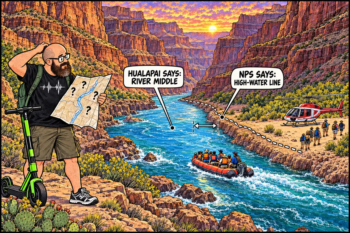
- The Tribe and the NPS have disagreed for decades over whether the reservation’s river boundary runs to the water’s midpoint (the Hualapai’s reading) or stops at the historic high-water mark (the NPS’s position, which is what the park currently enforces).
- Hualapai River Runners is the only Native American-owned rafting company running the Colorado River through the canyon, and runs the only one-day whitewater trip available anywhere on the river.
- The Skywalk’s own developer sued the Tribe after a 2012 eminent-domain seizure; a federal court ordered the Tribe to pay him roughly $30 million.
- In 2023, Congress and President Biden signed the Hualapai Tribe’s first-ever settled Colorado River water rights into law, after the tribe’s own well at Grand Canyon West ran dry in 2019.
A reservation built along the river
The Hualapai — “People of the Tall Pines” — are Yuman-speaking relatives of the Havasupai and Yavapai, with ancestral territory that once ran from the Little Colorado River clear through the Grand Canyon. Gold strikes near Prescott in the 1860s triggered the Hualapai War, and in 1874 the U.S. forcibly marched the tribe south to a reservation near present-day Parker. Most walked home within about a year.
On January 4, 1883, President Chester A. Arthur signed the executive order creating the Hualapai Reservation on close to a million acres of that homeland — a 108-mile stretch along the Colorado River’s south side, running from around Peach Springs (still the tribal capital) north to Pearce Ferry near the upper end of what’s now Lake Mead. The Tribe organized a written government in 1938, and in 1941 the U.S. Supreme Court confirmed the reservation’s boundaries against a competing Santa Fe Railway land claim.
By the tribe’s own account, it’s the only one of Arizona’s federally recognized tribes to build its economy primarily around canyon tourism rather than gaming. Roughly 1,500 tribal members depend on that economy, run through the tribally owned Grand Canyon Resort Corporation.
Where the boundary actually sits
The 1883 order set the reservation’s northern edge at “the Colorado River,” and that single phrase has been argued over for well over a century. The Hualapai read it as granting them land to the river’s midstream — their traditional description of the river as their territorial backbone. Beginning in 1976, shortly after the Grand Canyon National Park Enlargement Act redrew the park around them, the federal government took the opposite position: the boundary sits at the river’s historic high-water mark on the south shore, keeping the riverbank and water under NPS control. No court has definitively settled the question.
That disagreement shapes who runs commercial trips on the river and under whose rules. The current Superintendent’s Compendium, effective June 16, 2026, states NPS’s operating position plainly: from River Mile 165 to 274, the river-left (south) side above the historic high-water line is Hualapai Tribal Land, and any camping or hiking on it “must be explicitly approved in advance by the Hualapai Tribe in Peach Springs, Arizona.” Within that stretch, Whitmore Wash (RM 185-187.5) is where commercial river trips are permitted to camp specifically for passenger exchanges — the standard spot where rafting groups swap out by helicopter mid-trip. Two caves further downstream, Bat Cave (RM 266.8) and Rampart Cave (RM 274.5), are closed to entry entirely.

Grand Canyon West and the Skywalk
Grand Canyon West — the Hualapai-owned tourism development with Eagle Point, Guano Point, Hualapai Ranch, and the Skywalk — opened in 1988 on tribal land roughly 50 miles from Grand Canyon Village. It is not a unit of Grand Canyon National Park and never has been; it’s a Hualapai enterprise on Hualapai land, run under Hualapai rules.
The Skywalk, a horseshoe-shaped, glass-bottomed cantilever bridge extending out over the rim, opened to the public on March 28, 2007. It came out of a 2003 partnership between the Tribe and developer David Jin, who put up roughly $30 million toward construction for a 25-year revenue-sharing deal. The partnership fell apart over an unfinished visitor center: in February 2012 the Tribal Council invoked eminent domain to seize full ownership from Jin’s company, offering $11 million in compensation. Jin sued, and in February 2013 a federal court ruled the Tribe owed him roughly $30 million in lost revenue — after the attraction had already generated more than $10 million in ticket sales at around $90 a head. The tribally owned corporation running the Skywalk filed for bankruptcy the following month to shield its assets. Former chairwoman Louise Benson said publicly at the time that the fight would give “the Hualapai a terrible reputation that will injure the tribe for years.”
The only rafting company that runs on Hualapai terms
Hualapai River Runners, a Hualapai-owned outfitter, has run the only Native American-owned rafting operation on the Colorado River through the canyon since the mid-1970s, and has offered the canyon’s only one-day whitewater trip since 1988. The trip departs Peach Springs by bus, descends to the river at Diamond Creek, covers about 55 miles of the deepest stretch of the canyon, and ends with a helicopter lift back to the rim instead of a multi-day float. It exists entirely because it runs on the Tribe’s own land under the Tribe’s own permits — independent boaters wanting to launch or take out at Diamond Creek need a separate river access permit from the Tribe itself.
Water, finally, from the river next door
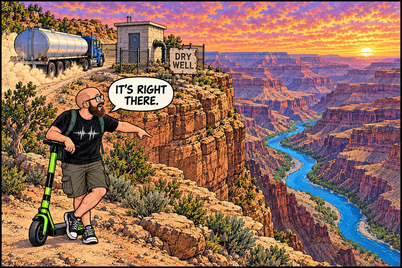
For decades the Hualapai Reservation had no legally settled right to the Colorado River flowing along its own 108-mile border — an irony not lost on the Tribe, whose tourist economy at Grand Canyon West depends on hauling in water. That changed when Grand Canyon West’s own groundwater well ran dry in 2019, forcing the Tribe to truck water roughly 30 miles to keep the site running even as it drew more than a million visitors a year before the pandemic. Congress answered with the Hualapai Tribe Water Rights Settlement Act, which reallocates 4,000 acre-feet per year of Central Arizona Project water to the Tribe and creates a $180 million, inflation-indexed trust fund for tribal water infrastructure. President Biden signed it into law in January 2023 — the first Indian water rights settlement of his administration.
The U.S. marches the Hualapai to a reservation near Parker after the Hualapai War; most walk home within a year.
President Arthur's executive order sets aside nearly 1 million acres along 108 miles of the Colorado River.
The U.S. Supreme Court upholds the reservation against a competing Santa Fe Railway land claim.
The federal government asserts the reservation's river boundary sits at the high-water mark, not the river's midpoint — a disagreement still unresolved.
The Tribe opens its own tourism development on the West Rim, entirely outside the national park.
The glass-bottomed cantilever bridge opens to the public March 28, funded through a partnership that will later collapse into a lawsuit.
The Tribe seizes the Skywalk by eminent domain; a federal court orders it to pay developer David Jin about $30 million.
Congress and President Biden sign the Hualapai Tribe Water Rights Settlement Act after the tribe's well at Grand Canyon West runs dry.
What’s actually off-limits (and why)
Nothing here is an NPS closure — it’s a sovereign tribe controlling its own reservation, plus one long-running jurisdictional disagreement about exactly where that reservation’s edge sits. Grand Canyon West, the Skywalk, and Hualapai River Runners all operate under the Tribe’s own rules, fees, and permits, not the Park Service’s. Where Hualapai land borders the river inside the national park’s mapped corridor (River Mile 165-274), the current Superintendent’s Compendium requires advance Hualapai approval for any camping or hiking on it — the Tribe’s land, the Tribe’s call. The unresolved piece is the boundary itself: the Hualapai’s reading of the 1883 order and the NPS’s high-water-mark position have never been reconciled by a court, so the practical rule on the ground, today, is whatever the current Compendium says the NPS is enforcing — a distinction worth knowing if you’re planning a private river trip anywhere near the reservation’s edge. For the neighboring tribal land upstream, see Havasupai lands and infrastructure; for what “off-limits” means across the park more broadly, see What Is Actually Off-Limits at the Grand Canyon, and Why?
Sources
- Hualapai Reservation — Nature, Culture and History at the Grand Canyon (Grand Canyon Historical Society)
- Hualapai Tribe History — Grand Canyon West (official Hualapai tourism enterprise)
- Sovereignty and the Skywalk — High Country News
- Hualapai Tribe, National Park Service in Dispute — Indianz.com
- Grand Canyon National Park Superintendent's Compendium, effective June 16, 2026 — National Park Service
- Hualapai Tribe Water Rights Settlement Act (H.R. 7633) — U.S. Department of the Interior