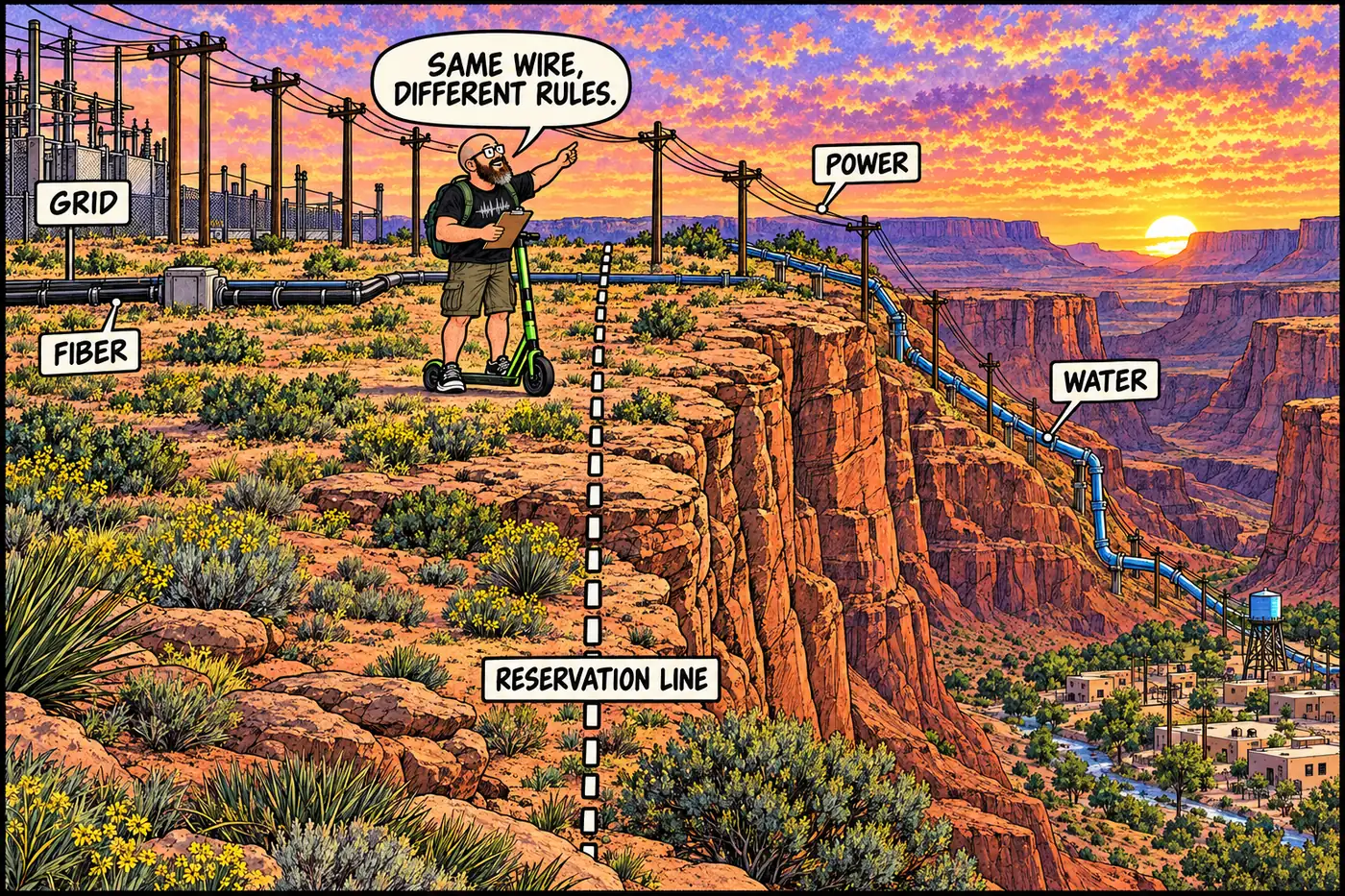
A 70-mile power line, a fiber-optic cable, and a not-yet-built water pipeline all do the same unglamorous thing: cross from one government's land onto another's to keep a community running. None of them touch Grand Canyon National Park's own utility system. They're the wires and pipes serving the tribal land next door — and the jurisdiction lines they cross are as real as any fence.
The short version
- The only road that reaches the Colorado River anywhere in the Grand Canyon corridor — Diamond Creek Road — is a 26-mile dirt road entirely on Hualapai land, run and tolled by the tribe, not NPS.
- Arizona State Route 64 carries every East Entrance visitor across Navajo Nation land before it ever crosses into the park.
- Supai’s electricity arrives over roughly 70 miles of overhead line, maintained under a Bureau of Indian Affairs agreement, that used to be the subject of a decade-long fight over whose job it was to fix it.
- A 2022 federal grant is stringing fiber-optic cable up Indian Highway 18 to a new tower, then bouncing the signal down into the canyon by microwave and wifi — Supai’s jump from 3G to broadband.
- A newly signed water-rights settlement funds an actual pipeline meant to pull Colorado River water out near Diamond Creek and push it up onto the plateau to Peach Springs and Grand Canyon West — infrastructure that would cross from the river corridor straight into Hualapai reservation land.
- Grand Canyon West runs on its own solar-and-battery microgrid for one blunt reason: no outside power line reaches it yet.
Roads: the one place dirt meets the river
Every road inside Grand Canyon National Park’s developed areas is NPS pavement. Diamond Creek Road is not. It’s a roughly 26-mile dirt road running from Peach Springs down to the Colorado River, built and maintained by the Hualapai Tribe on Hualapai land start to finish. It’s also the only spot in the entire canyon corridor where a road actually reaches the river — river-runners use it as a launch and take-out point, and the primitive campground at the bottom sits under tribal jurisdiction, not the Park Service’s. Permits and vehicle fees are sold through Hualapai Lodge in Peach Springs, separate from any NPS river permit a rafting trip needs for the water itself.
On the east side, the arrangement is reversed: instead of a tribal road reaching NPS land, a state highway crosses tribal land to reach the park. Arizona State Route 64 carries visitors from Cameron — on the Navajo Nation — 25 miles west to Grand Canyon’s East Entrance at Desert View. Anyone entering that way spends the drive on Navajo trust land before they ever see a park boundary sign. (For what’s actually across that boundary, see Navajo Nation lands bordering the canyon.)
Power: a line that crosses three landowners to light one village
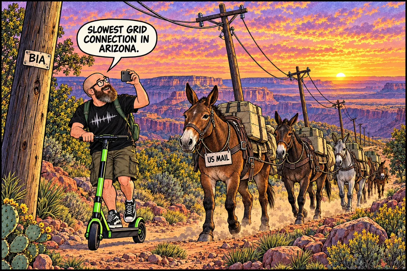
Supai, the Havasupai Tribe’s village at the bottom of Havasu Canyon, has no road. What it has is roughly 70 miles of overhead electric line running from a substation more than 80 miles away, across high desert and forest on the plateau, over Long Mesa, then dropping more than 3,000 feet down the canyon wall to reach the village. Mohave Electric Cooperative — a member-owned utility headquartered in Bullhead City, incorporated in 1946 — maintains it, but maintains it under an agreement with the Bureau of Indian Affairs, because the line crosses land the co-op itself doesn’t own.
That “under an agreement” arrangement didn’t always work cleanly. For more than a decade, Mohave Electric and the BIA disputed which of them was actually on the hook for routine maintenance along the line, and neither side kept up with it consistently — leaving Supai vulnerable to frequent, extended blackouts. A 2019 fix addressed the symptom rather than the underlying jurisdictional fight: a local solar-plus-battery-and-diesel microgrid, with new switches and automated controls, gives the village its own backup when the 70-mile line inevitably goes down.
Grand Canyon West, the Hualapai tourism complex around the Skywalk, skipped the cross-jurisdiction power-line problem entirely by not having one. No outside grid line reaches the site at all — it runs on a tribally owned microgrid, originally three diesel generators, now supplemented by an 884.5-kilowatt solar array and a 2.14-megawatt-hour battery system completed in June 2023, covering roughly half the site’s power needs. The tribe’s own long-range plan calls for an eventual power line along Diamond Bar Road to finally connect Grand Canyon West to the grid — as of this writing, that’s still a future project, not a built one.
Water: a settlement, a pipeline, and a river intake
Peach Springs, the Hualapai Tribe’s main community, has relied for decades on three groundwater wells drilled by the Indian Health Service into the Truxton Aquifer in the 1970s. By 2019, tribal leadership was telling Congress the well piping was roughly 44 years old, had already failed and left the community without water for days at a time, and that at least one well had tested positive for E. coli and coliform contamination.
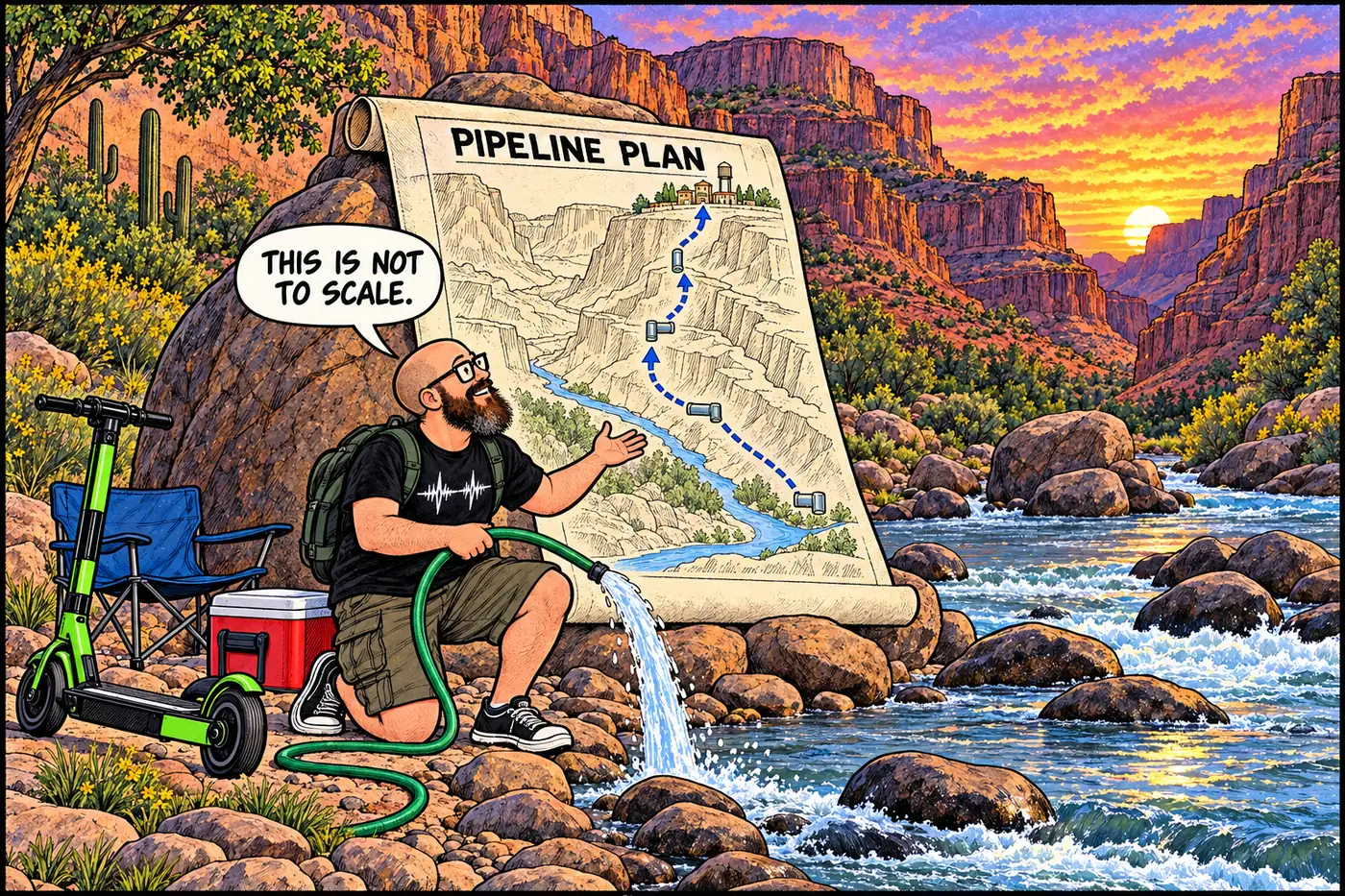
The fix on the table is bigger than a repair job — it’s new infrastructure that crosses straight from the river corridor onto the reservation. The Hualapai Tribe Water Rights Settlement Act, negotiated over more than a decade among the tribe, the United States, and Arizona, was signed into law in January 2023 and formally celebrated by the Interior Department on August 31, 2023. It funds the Hualapai Water Project: a pipeline designed to divert and treat up to 3,414 acre-feet of Colorado River water a year, drawn from an intake near Diamond Creek, and pump it up onto the plateau to serve both Peach Springs and Grand Canyon West. An earlier 2019 cost estimate for essentially the same concept put the project at $134.5 million for roughly 70 miles of pipeline, treatment plants, and pumping stations; the enacted settlement itself is backed by a $312 million federal trust fund for Hualapai water infrastructure. However it’s finally built, the pipeline’s basic geography doesn’t change: water pulled from a river that runs through Grand Canyon National Park and Lake Mead National Recreation Area, pumped uphill across the boundary onto tribal land.
Data: fiber across the plateau
Supai’s internet, before 2022, was obsolete 3G cellular service with barely any community-wide capacity — so little that telemedicine equipment installed for the clinic reportedly sat unused for 15 years because the connection couldn’t support it. In November 2022, the Havasupai Tribe was awarded roughly $7 million in federal broadband infrastructure funding to fix that: about 140 kilometers of fiber-optic cable running along Indian Highway 18 — the road connecting the reservation to the plateau above — to a new tower on Long Mesa, where microwave equipment relays the signal down into the canyon and wifi carries it the rest of the way to 102 homes, 33 tribal/government agencies, and a tribal business. It’s the same basic shape as the power line: build to the rim on one kind of easement, then find a way to get the last few thousand vertical feet down into a canyon a road can’t reach.
What’s actually off-limits (and why)
None of this crossing infrastructure is open for visitors to walk up and inspect. Diamond Creek Road access is entirely controlled by the Hualapai Tribe’s own permit system — it’s tribal land, tribal rules, and NPS regulations simply don’t apply once you’re on it. The Supai power line, fiber route, and future water pipeline sit on a mix of Bureau of Indian Affairs easements, Kaibab National Forest land, and Havasupai/Hualapai trust land — none of it is Grand Canyon National Park property, so none of it appears in the park’s own Superintendent’s Compendium closures. The one place the compendium does draw a hard line relevant here is the Havasu Creek/Beaver Creek confluence at River Mile 157.3, marked as the literal Park Service boundary with Havasupai Tribal Land — cross it heading upstream and you’ve left NPS jurisdiction, full stop, tribal access fees apply from there. It’s a jurisdiction boundary, not a hazard closure, and the distinction matters: see What is off-limits at Grand Canyon, and why? for the park’s actual list of physical closures, and Tribal versus NPS jurisdiction for how these boundary lines get drawn in the first place.
The co-op that will eventually run Supai's 70-mile power line is incorporated in Bullhead City.
Indian Health Service wells in the Truxton Aquifer become Peach Springs' entire water supply for the next half-century.
Limited connectivity arrives via grant funding, decades behind the outside world.
A local solar-plus-battery-and-diesel system backstops the aging 70-mile line after years of BIA/utility maintenance disputes.
Federal infrastructure funding begins building fiber along Indian Highway 18 to a new Long Mesa tower.
Clears the way for a pipeline from the Colorado River near Diamond Creek up to Peach Springs and Grand Canyon West.
An 884.5 kW solar array and 2.14 MWh battery system cut the site's diesel dependence roughly in half — still with no outside grid connection.
Sources
- Grand Canyon National Park Superintendent's Compendium, effective June 16, 2026 — National Park Service
- Interior Department, Hualapai Tribal Leaders Celebrate Historic Indian Water Rights Settlement — U.S. Department of the Interior
- S.4104 — Hualapai Tribe Water Rights Settlement Act of 2022 — Congress.gov
- In the Grand Canyon, the Havasupai Tribe prepares to build better connections to the world — Associated Press via Yahoo News
- Bringing reliable power to the people of Supai through solar PV and a microgrid — Renewable Energy World
- No Power for the Powerless — Phoenix New Times
- Grand Canyon West Microgrid Project — Solar Builder Project of the Year Awards
- Hualapai Tribe History of The Hualapai Indian Reservation — Grand Canyon West
- Diamond Creek Road & the Hualapai Reservation — Visit Peach Springs
- Arizona State Route 64 — Wikipedia (used for general route corroboration; flagged per sourcing rules)