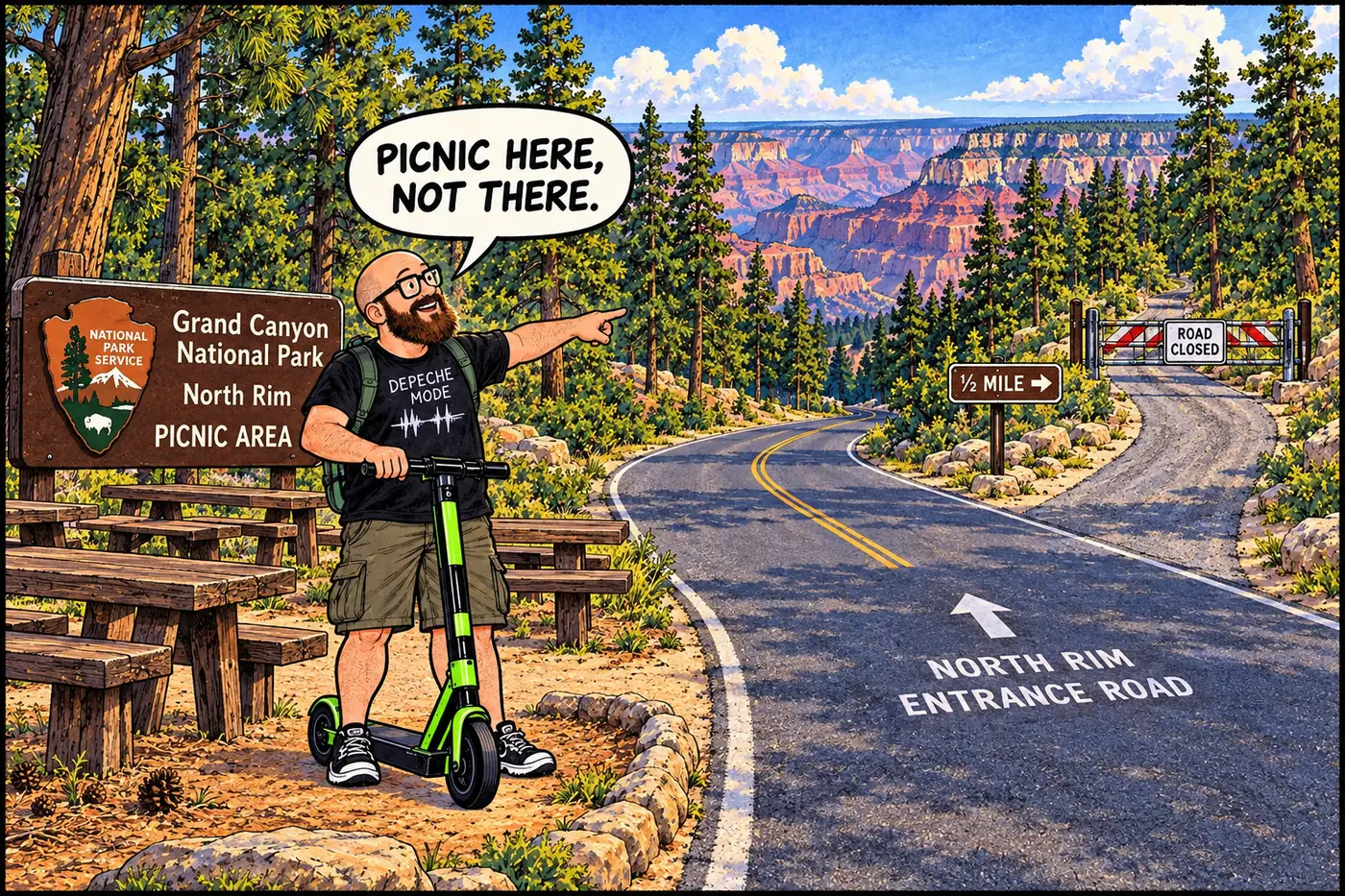
Half a mile east of the North Rim Entrance Road, past the Lindbergh Hill Picnic Area, a road-closure gate and a line of boundary posts mark ground the National Park Service would rather you didn't walk on. It's an old landfill, not a mystery — though the hill it's named for turns out to be harder to pin down than the dump.
The short version
- The Lindbergh Hill Landfill sits 0.5 mile east of the North Rim Entrance road from the Lindbergh Hill Picnic Area, marked by a road-closure gate and boundary posts, and is closed to public entry under the current Superintendent’s Compendium.
- A 2002 regional planning document describes Grand Canyon National Park as having two landfills on the North Rim, both inactive since 1991 — this one and the nearby Marble Flats Landfill.
- The North Rim’s utilities generally ran about two decades behind the South Rim’s: the concessioner-built sewage system wasn’t rebuilt and run by NPS until the early 1940s, and the Park Service didn’t take over North Rim utilities completely until 1972.
- Several hiking and gazetteer sites claim Lindbergh Hill is the highest point in Grand Canyon National Park — that claim could not be confirmed against any government source this session and is left out here rather than repeated on thin sourcing.
- As of the park’s September 21, 2026 status update, the North Rim Entrance corridor (Highway 67) is open for the 2026 season, though the park is still recovering from the 2025 Dragon Bravo Fire and an August 2026 flash flood closed the North Kaibab Trail.

What the name doesn’t tell you
It’s tempting to assume a hill called “Lindbergh” on a National Park Service map is named for Charles Lindbergh, and it’s a reasonable guess — Lindbergh did fly over the Grand Canyon, and aviation-themed place names aren’t unusual in the region. But no NPS history, USGS record, or Grand Canyon Historical Society page checked for this project actually confirms who or what the hill is named for, or when the name was assigned. A handful of hiking and mapping websites repeat a figure of roughly 8,934 feet and describe it as the park’s highest point, but none of those sites are primary government sources, and Wikipedia’s own Grand Canyon National Park article — checked specifically for this — never mentions Lindbergh Hill at all. Rather than repeat an unverified factoid because it’s widely copied online, this page leaves the naming question open. What’s verifiable is simpler: NPS uses “Lindbergh Hill Picnic Area” as an official place name in its current closure rulebook, and there’s a landfill half a mile east of it.
A landfill on North Rim time
The North Rim developed later and slower than the South Rim in almost every respect, and its waste infrastructure was no exception. Through the 1920s the North Rim was barely staffed — Congress refused to fund its management at all through fiscal year 1924, and the few rangers sent over each summer bunked wherever a spare cabin turned up. The sewage-disposal system that eventually served the North Rim’s developed area was built and owned by the Union Pacific Railroad’s concession, the Utah Parks Company, and NPS didn’t rebuild and take it over until the early 1940s. By the mid-1950s, Mission 66-era records show the Park Service also running the North Rim’s incinerator directly, but full NPS control of North Rim utilities didn’t arrive until 1972, when Union Pacific finally donated the rest of the Utah Parks Company’s facilities to the federal government — eighteen years after the equivalent handoff at the South Rim.
A landfill somewhere on the plateau was the logical next step, and Lindbergh Hill is one of two the record shows. A June 2002 regional water-quality planning report, prepared for the Arizona Department of Environmental Quality, states that Grand Canyon National Park had two North Rim landfills that had already sat inactive since 1991 — a full decade before the South Rim’s own landfill closed. The report doesn’t spell out which site did what in any legible detail; a badly OCR-scanned passage in the same document seems to say the North Rim site accepted only construction debris for some period, with two-year leak inspections planned after closure, but the text is too garbled to treat as a precise record. What’s solid is the broader shape of the story: this was a working dump for the North Rim community, shut down well before regulators forced the issue at the South Rim, and left as a fenced, monitored closure ever since.

What’s actually off-limits (and why)
The current Superintendent’s Compendium closes the Lindbergh Hill Landfill site to public entry under 36 CFR § 1.5(a)(2), using the same boilerplate NPS applies to its other old dump sites: access is denied “to protect the public from a potentially hazardous site and materials,” per the Arizona Department of Environmental Quality. The closure is specific and narrow — the landfill ground itself, gated and posted, half a mile off the North Rim Entrance Road — not the picnic area it’s named alongside, which remains a normal, open NPS amenity. No source checked this session shows the site was ever listed on the EPA’s National Priorities List or Arizona’s WQARF registry; it’s a public-safety closure on old, unremediated fill, not an active contamination case.
Arizona’s current statewide directory of waste transfer stations lists exactly one Grand Canyon facility — the transfer station on Shuttle Bus Road, serving the South Rim. No dedicated North Rim transfer station appears in that directory at all; the closest listed facility is the Town of Fredonia’s, well north of the park. As of the park’s most recent status update, the North Rim Entrance corridor itself — Highway 67 — is open for 2026 day use, even as the park works through recovery from the 2025 Dragon Bravo Fire (145,504 acres burned, the historic Grand Canyon Lodge among the losses) and a fresh flash-flood closure of the North Kaibab Trail from late August 2026. None of that is connected to the old landfill in any source found this session — it’s simply the current backdrop for anyone checking on North Rim access.
Congress declines to fund North Rim management through fiscal 1924; there is no NPS infrastructure to speak of yet.
The Park Service rebuilds and begins running the sewage system the Utah Parks Company concession originally built.
Remaining Utah Parks Company facilities at the North Rim are donated to the federal government; NPS takes full utility responsibility.
A 2002 regional planning report describes both North Rim landfills as already inactive since 1991.
A lightning-caused fire burns 145,504 acres of the North Rim, destroying the historic Grand Canyon Lodge and other structures; unrelated to the landfill, but the defining recent event for the area.
Highway 67 and the North Rim Entrance corridor are open for the 2026 season; the Lindbergh Hill Landfill remains closed to public entry under the current compendium.
Sources
- Grand Canyon National Park Superintendent's Compendium, effective June 16, 2026 — National Park Service
- Section 208 Water Quality Management Plan — Northern Arizona Council of Governments, June 2002
- Polishing the Jewel: An Administrative History of Grand Canyon National Park — Michael F. Anderson / National Park Service (npshistory.com)
- Waste Transfer Stations List — Arizona Department of Environmental Quality
- Status of the North Rim — National Park Service
- Grand Canyon National Park — Wikipedia (last resort, flagged; checked only to confirm it does not corroborate unverified "highest point" claims about Lindbergh Hill)
- Dragon Bravo Fire — Wikipedia (last resort, flagged; used only for acreage/structure-count corroboration)