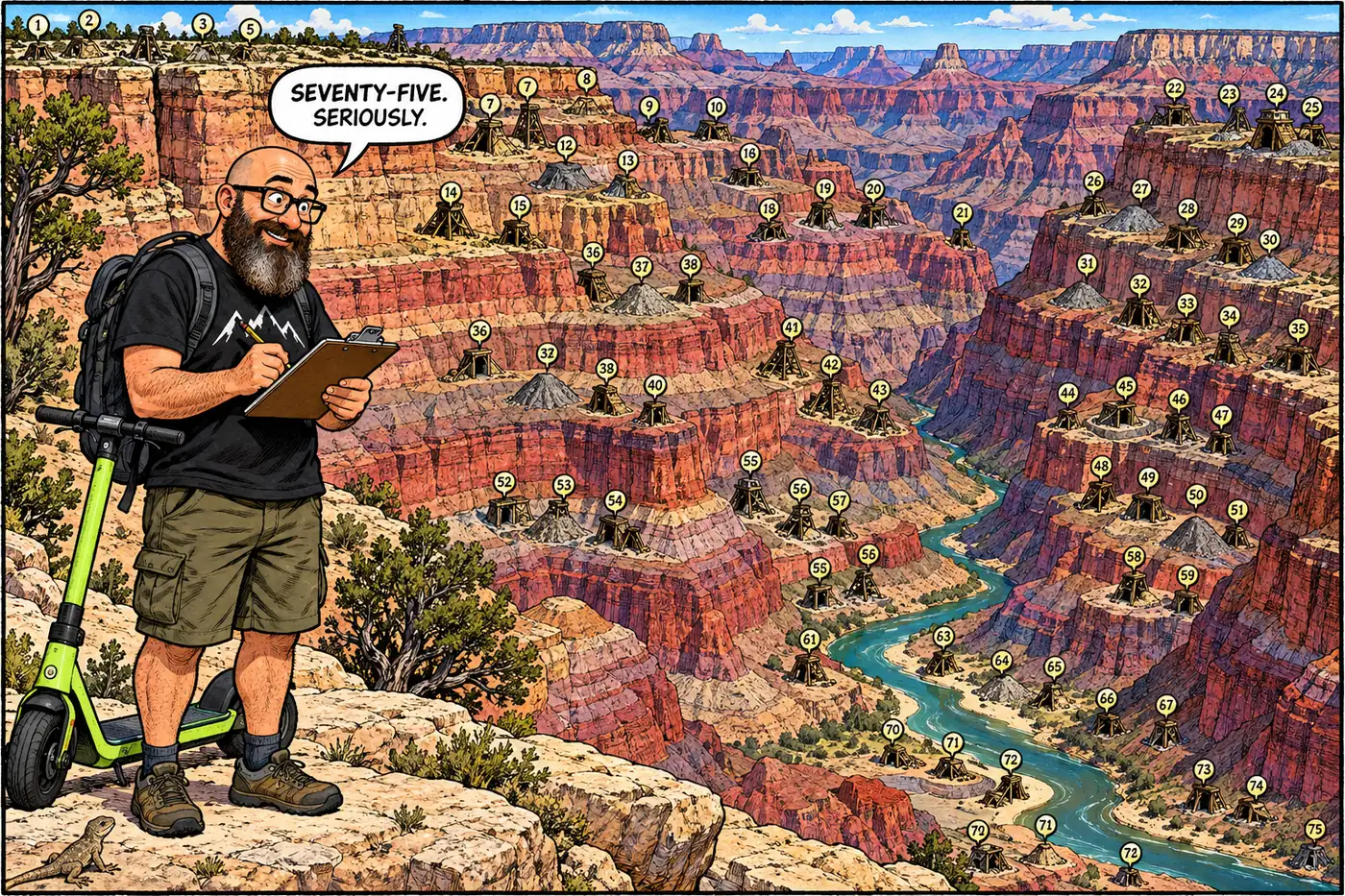
Grand Canyon National Park doesn't advertise a number, but the National Park Service has one anyway: 38 documented sites, 75 individual mine features, scattered across a park most visitors think of as scenery, not industrial history. Nobody's mapping them for you — this is what the public record says about how many there are and what the park is doing about it.
The short version
- NPS has formally documented 38 Abandoned Mineral Lands (AML) sites containing 75 individual features — adits, shafts, pits, tunnels, prospects, tailings piles — inside Grand Canyon National Park.
- Twelve of those 38 sites are flagged by NPS as requiring active mitigation.
- Grand Canyon is one small piece of a much bigger federal problem: a 2010-2013 nationwide NPS inventory found 37,050 abandoned mine and oil-and-gas-well features across 133 national park units.
- The park’s Superintendent’s Compendium defines “mine” broadly and closes all of them, park-wide, to public access without special written permission — on top of separate, named closures at specific sites.
- A 2009 ARRA-funded push closed dozens of hardrock features across nine Intermountain Region parks, including Grand Canyon, using bat-gates, grates, backfilling, and fencing.
- No public source found this session breaks the 75 Grand Canyon features down by exact type, or gives a current per-park tally of how many have actually been closed.
Why there are so many holes in a national park
Grand Canyon’s mining history runs from an 1880s copper-and-asbestos prospecting boom through a uranium rush that didn’t wind down until the mid-1980s. Copper, lead, and asbestos were pulled out in relatively small quantities almost from the start. The serious money was uranium, concentrated in a distinctive local geologic feature called a solution-collapse breccia pipe — a vertical column formed where ancient cave systems in the Redwall Limestone collapsed under overlying rock, later filled with metal-bearing groundwater. Breccia pipes are unusual worldwide but abundant across northern Arizona and southern Utah, and often carry both uranium and copper together, plus the occasional mineral found nowhere else — grandviewite, named for the Grand View Mine, is known only from Grand Canyon.
Most of these operations were small and financially marginal, echoing the Bass and Hance mining histories elsewhere on this site. But “marginal” doesn’t mean “gone.” Every adit, shaft, pit, tunnel, prospect, and tailings pile anyone dug still exists somewhere in the canyon, decades or a century after the miners walked away.
Counting the holes: 38 sites, 75 features
The park’s own current figure, published on the NPS Geodiversity Atlas, is specific: 38 documented Abandoned Mineral Lands sites, containing 75 individual features, inside Grand Canyon National Park. Twelve of those sites require active mitigation, per the same source.
That’s the Grand Canyon slice of a much larger federal accounting problem. Between 2010 and 2013, NPS ran its first comprehensive, boots-on-the-ground inventory of abandoned mineral lands across the entire park system, and came back with 37,050 individual abandoned mine and oil-and-gas-well features spread across 133 national park units nationwide. Of that total, roughly 1,800 features had already received long-term remedial action, another 3,800 or so across 76 parks still needed it, and the remaining bulk — over 31,000 — were catalogued for site characterization but required no action. Grand Canyon’s 75 features are a small fraction of that count, but the park is one of the more heavily mined units in the system, given the copper-asbestos-uranium sequence above.
What the public record doesn’t offer, at least in anything found this session, is a type-by-type breakdown of those 75 Grand Canyon features — how many are open shafts versus sealed adits versus surface prospects versus tailings piles. The technical report that almost certainly has that level of detail, Burghardt, Norby, and Pranger’s 2014 NPS comprehensive inventory and assessment, is cited by name on the Geodiversity Atlas page but wasn’t independently opened this session.
| Figure | Scope | Source |
|---|---|---|
| 38 sites / 75 features, 12 requiring mitigation | Grand Canyon National Park specifically | NPS Geodiversity Atlas (updated July 2024) |
| 37,050 features | 133 national park units nationwide, 2010-2013 inventory | NPS Park Science journal |
| ~1,800 features already remediated | Nationwide | NPS Park Science journal |
| ~3,800 features still needing remedial action, in 76 parks | Nationwide | NPS Park Science journal |
| 144 hardrock features fenced/signed | Saguaro National Park, 2009 ARRA funding | NPS Intermountain Region summary |
| 85 hardrock features permanently closed | Nine Intermountain Region parks combined, incl. Grand Canyon, 2009 ARRA funding | NPS Intermountain Region summary |
What closing a mine actually looks like
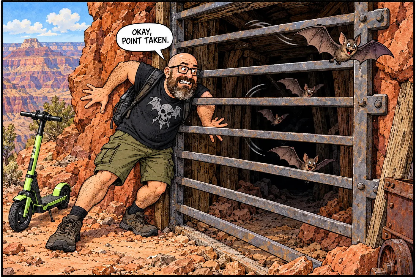
The park doesn’t have one universal fix for a hazardous mine opening. The standard toolkit, used region-wide and applicable at Grand Canyon, includes bat-accessible gates and cupolas over adits (horizontal bars spaced wide enough for bats to fly through but too narrow for a person), grates over vertical shafts, fencing, and backfilling. Backfilling isn’t as simple as dumping fill down a hole — where a feature is closed that way, staff document it photographically first, and fill typically stops within three feet of the surface on one side to leave a wildlife ramp rather than sealing the opening flush.
Money for this work has come in uneven pulses. The largest push came in 2009, funded through the American Recovery and Reinvestment Act: $5,006,000 region-wide to fence and sign 144 hardrock features at Saguaro alone and build long-term closures at 85 hardrock features spread across nine Intermountain Region parks together — Black Canyon of the Gunnison, Chiricahua, Coronado, Fort Bowie, Glacier, Glen Canyon, Grand Canyon, Organ Pipe Cactus, and Saguaro — plus reclaiming 13 gravel pits at Great Sand Dunes. That same year, Bat Conservation International separately funded a single $40,000 bat-gate at one adit in Grand Canyon. Neither region-wide total is broken out to show exactly how many closures landed inside Grand Canyon specifically, one of the real gaps in the public record here.
Also in 2009, NPS opened public scoping on an Environmental Assessment to close hazardous mine openings jointly across four parks — Coronado National Memorial, Grand Canyon, Organ Pipe Cactus, and Saguaro — with the same toolkit on the table. NPS’s own framing of the hazards is blunt: falling into shafts, loose rock falling from adit roofs, high radon concentrations, toxic metals, and asbestos inhalation. It also flags something easy to miss: some mine features sit in areas with wilderness character, some serve as important wildlife habitat (bats especially), and some are eligible for the National Register of Historic Places. A hole in the ground can be a hazard, a historic structure, and a bat colony’s home, all three at once — why “just fill it in” isn’t always the answer.
One mine, studied up close
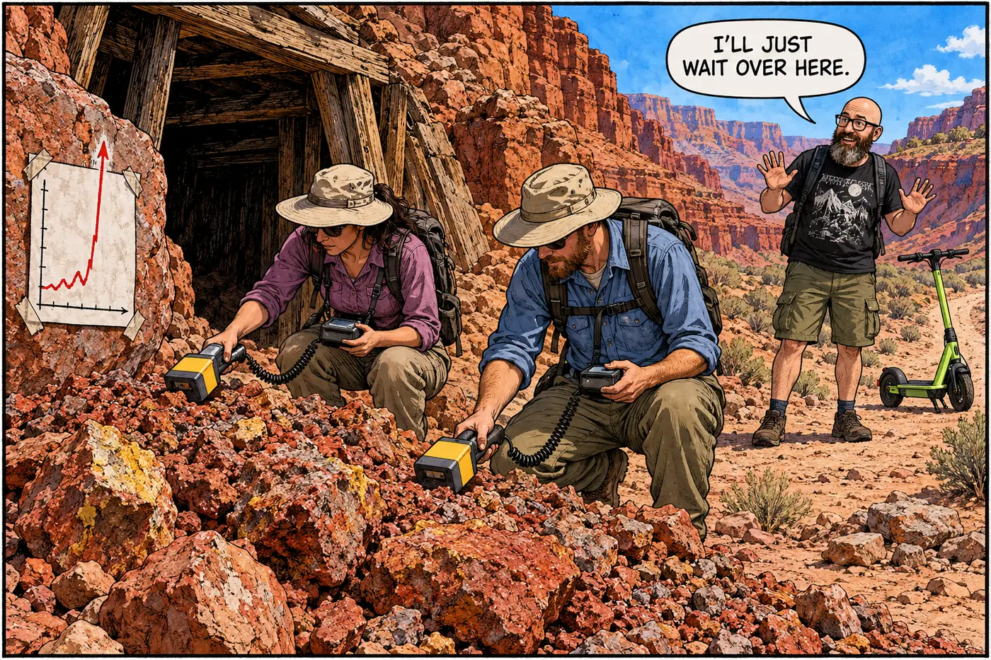
The 38-and-75 figures are useful, but they’re abstractions. A 2003 peer-reviewed NPS Park Science study of the historic Grand View Mine — a copper claim staked by prospector Pete Berry in April 1890 along the still-maintained Grand View Trail, acquired by NPS in 1939 — shows what “AML mitigation” actually involves on the ground. Researchers from Fort Lewis College and New Mexico Highlands University used a portable gamma-ray spectrometer to measure radioactivity in the mine’s waste rock and found levels up to 125 times the local background reading, with the Grand View Trail itself crossing directly over some of the hottest waste-rock piles.
Their recommendations weren’t dramatic: reroute a short trail segment around the worst waste rock, post warning signs, distribute better information to backpackers. As of that 2003 study, the mine’s shafts, entrances, and adits were still open and accessible, and staff relied mainly on backcountry-permit paperwork rather than on-site signage. It’s a small-scale illustration of the same triage happening, in theory, at all 75 documented features: figure out which are genuinely dangerous, and pick a fix that doesn’t erase the history along with the hazard.
What’s actually off-limits (and why)
The park’s Superintendent’s Compendium handles this at two levels. First, a blanket rule: it defines “mine” for management purposes as any anthropogenic feature excavated for mineral extraction — adits, shafts, pits, tunnels, prospects, and tailings piles all count — and then closes public presence, use, and access in every mine meeting that definition, park-wide, without special written permission from the superintendent. The stated reasons are protecting human health and safety, unrecorded archaeological features, and wildlife habitat.
On top of that general rule, the compendium names several closures by site: the Bass Asbestos Mine in Hakatai Canyon (a 500-foot buffer, listed twice), the Orphan Mine’s upper and lower sites (fully fenced), and the Hance Mine (a hard river-corridor closure, Mile 77.5 through 78.6). The compendium also closes the Hopi Salt Mines, a traditional Hopi cultural site along the river — a different kind of place entirely, a sacred salt-gathering location the tribe itself describes, not a hardrock mineral claim, and excluded from the industrial-mining count above out of respect for how the Hopi define its significance.
Beyond those named sites, the other roughly seventy documented features scattered across the park don’t get individual write-ups in the compendium — they fall under the general “all mines” rule instead. For a fuller rundown of what’s closed park-wide and why, see the general off-limits overview.
Sources
- NPS Geodiversity Atlas — Grand Canyon National Park, Arizona — National Park Service
- Abandoned mineral lands — NPS Park Science journal — National Park Service
- Intermountain Region Summary — Abandoned Mineral Lands — National Park Service
- Abandoned Mine Lands Closure Plan, Project Scoping Newsletter (August 10, 2009) — National Park Service
- The Legacy of the Grand View Mine, Park Science Vol. 22 No. 1 (Fall 2003) — National Park Service
- Grand Canyon National Park Superintendent's Compendium, effective June 16, 2026 — National Park Service