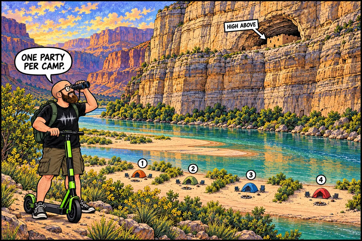
Seven hundred feet above the river, tucked into a limestone alcove, sit four small stone rooms that have held their shape for close to a thousand years. The park's answer to "who can camp near them" is exactly four named campsites — one river party per camp, no exceptions.
The short version
- Nankoweap spans River Mile 52.1 to 53.5, on river right, and takes its name from a Southern Paiute word most often translated as “echo” or “singing” canyon.
- Four granaries — sealed storage rooms built by Ancestral Puebloan people around 1,000 years ago — sit in a cliff alcove well above the river, visible from a viewpoint reached by a steep, difficult trail.
- The current Superintendent’s Compendium designates the Nankoweap Special Use Area and limits river-trip camping to four specific, named sites: Little Nankoweap, Upper Nankoweap/Bay, Main Nankoweap, and Lower Nankoweap/Point.
- Only one river-trip party may occupy each of those four camps at a time.
- Touching or disturbing the granaries is prohibited under the park’s general rule against disturbing cultural and archaeological resources — it isn’t a site-specific closure, it’s the same protection that covers every ruin in the canyon.
- John Wesley Powell’s 1869 expedition passed through and left the name that’s still used on maps today.
What “Nankoweap” means, and who named it
Most sources trace “Nankoweap” to a Southern Paiute word, rendered variously as meaning “singing canyon” or “echo canyon,” or derived from the Paiute term “Ninkuipi” — “place of echoes.” A separate, less-corroborated tradition holds that the name instead commemorates Southern Paiute people killed in a raid by Apache fighters, giving it a darker meaning tied to loss rather than acoustics. That second story shows up in fewer sources and isn’t as well established; the “echo canyon” reading is the one repeated most consistently. Either way, the name predates Powell’s 1869 river expedition, which passed through this stretch of canyon and is generally credited with fixing “Nankoweap” onto the maps that followed — the mesa, the formation, and the trail above the river all carry it today.
The granaries
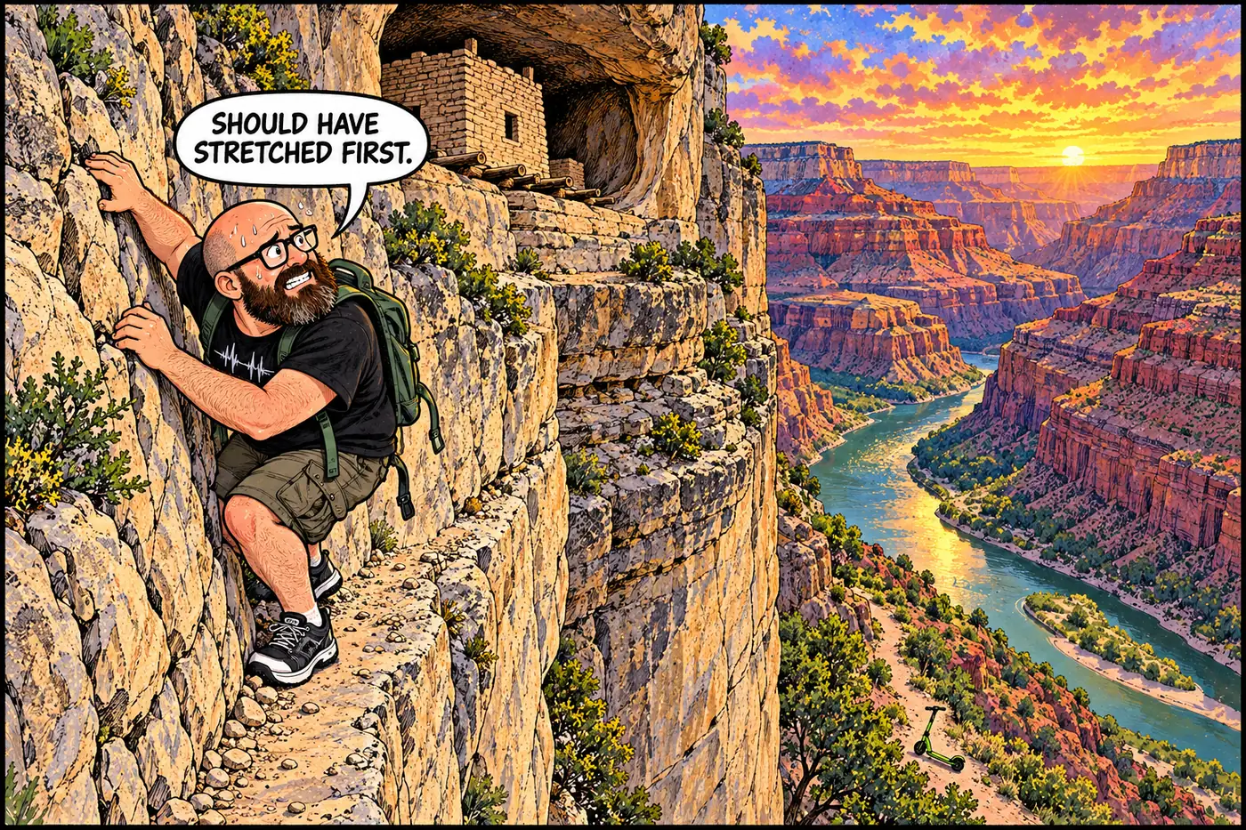
Set into a limestone alcove roughly 700 feet above the Colorado River, four small storage structures — commonly called granaries — were built and used by Ancestral Puebloan people around 1,000 years ago. They’re sealed, purpose-built rooms, not natural pockets in the rock: the construction kept stored food, most often described as ground corn, protected from seasonal flooding, rodents, insects, and weather. The people who built them farmed the Nankoweap delta below and supplemented that farming with hunting and gathering through the surrounding canyon — the granaries functioned as this community’s cold storage, tucked high enough above the river to survive a flood season that would have wiped out anything left at ground level.
That’s the extent of what’s publicly documented and safe to say without guessing. Beyond construction date, general purpose, and who built them, detailed archaeological findings about the site — excavation history, precise dating methods, any stabilization work performed on the structures — aren’t available in any source this research turned up. What is consistent across every account is the instruction given to visitors: look, don’t touch. The stone itself is what’s being preserved, and handling it accelerates the wear that a thousand years of weather alone hasn’t managed to finish.
That “don’t touch” guidance isn’t a special Nankoweap rule. It’s the general protection that covers every cultural and archaeological resource in the park: the Superintendent’s Compendium prohibits “possessing, destroying, injuring, defacing, removing, digging, or disturbing from its natural state any plants, rocks, animals, mineral, cultural or archeological resources, natural features, or signs,” full stop, park-wide, under 36 CFR § 2.1. The granaries don’t need a dedicated closure order because that blanket rule already covers them — same as it covers Nankoweap’s neighbors up and down the river corridor.
Ancestral Puebloan people construct sealed storage rooms in a cliff alcove above the Nankoweap delta, protecting stored food from flooding and pests.
John Wesley Powell's first Colorado River expedition floats past; the "Nankoweap" name, drawn from a Southern Paiute word, becomes fixed to the canyon, mesa, and later the trail.
Some secondary sources describe limited prospecting rushes in the Nankoweap Basin during this period; this session could not independently confirm the specifics.
The Superintendent's Compendium designates the Nankoweap Special Use Area (River Mile 52.1-53.5) and caps river-trip camping at four named sites, one party per camp.
What’s actually off-limits (and why)
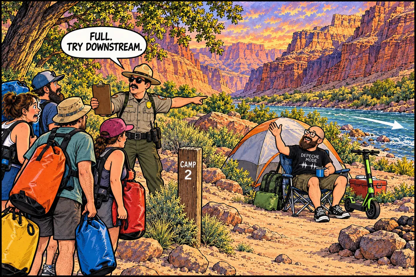
The compendium doesn’t close Nankoweap to visitors — it structures how people camp there. The designated Nankoweap Special Use Area runs river right from River Mile 52.1 to 53.5, and within it, river-trip camping is confined to four specific, named locations: Little Nankoweap Camp at Mile 52.1, at the upstream corner of the delta; Upper Nankoweap Camp (also called Bay Camp) at Mile 53.1, set in a cove behind a gravel bar; the Main Nankoweap Camp at Mile 53.4; and Lower Nankoweap Camp (also called Point Camp) at Mile 53.5, downstream and around the corner from Main Camp. Each of those four camps can host exactly one river-trip party at a time — no doubling up, no informal overflow camping along the rest of the delta.
It’s a system built around a simple scarcity problem: Nankoweap is one of the most-visited stops on a Grand Canyon river trip, thanks to the granary hike, and an unrestricted free-for-all on the delta would both crowd the beach and put more foot traffic near the archaeological site above it than the site can absorb. Four named camps, one party each, solves both problems without closing the area outright.
Access to the granaries themselves runs through a steep, roughly two-mile route up from the river — commonly described as one of the more difficult routes into any Grand Canyon archaeological site, and not a maintained trail in the conventional sense. That difficulty is itself a form of protection: it self-limits the volume of foot traffic reaching the alcove, the same way distance and terrain quietly gatekeep a number of the canyon’s more fragile sites.
Nankoweap sits about twenty river miles downstream of Redwall Cavern and about eight miles upstream of the Little Colorado River confluence — three stops in a stretch of river where the rules shift from “day use only” to “four numbered camps” to “no camping at all,” each shaped by a different resource the park is trying to protect.
Sources
- Grand Canyon National Park Superintendent's Compendium, effective June 16, 2026 — National Park Service
- Nankoweap Canyon and Granaries — Ancient Ruins of Puebloan Culture — Western River Expeditions
- Nankoweap Granaries in North Rim — Atlas Obscura
- Nankoweap Granaries, Arizona — AllTrails
- The Road Goes Ever On: Grand Canyon — The Nankoweap Trail
- Nankoweap Trail — Wikipedia (flagged as last-resort source for general background)