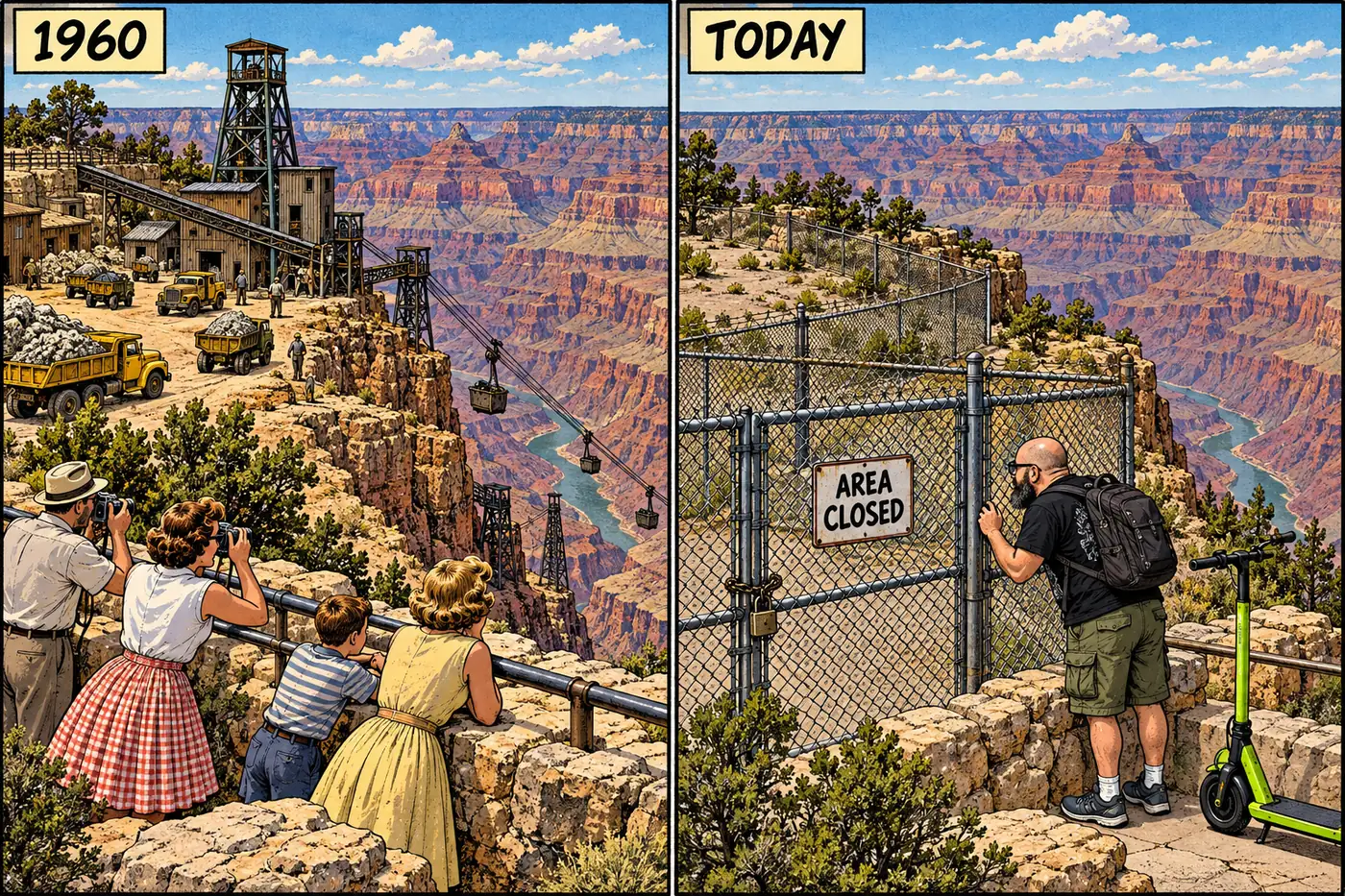
Two miles from the crowds at Grand Canyon Village, a fenced hole in the South Rim used to be one of the richest uranium mines in the country. It started as a bust of a copper claim in 1893, became a tourist lodge, then spent thirteen years as a Cold War uranium mine, and the National Park Service is still out there every month, checking the fence and reapplying soil glue.
The short version
- The Orphan Mine started as a copper claim staked by Dan Hogan in 1893, decades before it was uranium ore that made it famous.
- It sat on privately patented land inside what became Grand Canyon National Park — a legal oddity that let active mining continue right next to the rim trail for years.
- From 1956 to 1969 it produced roughly 495,000 tons of ore and 4.26 million pounds of uranium oxide, run out via an aerial tramway and later a deep vertical shaft with its own headframe.
- The mine closed in 1969 with no reclamation. NPS didn’t acquire the land until 1987 and didn’t start seriously cleaning it up until 2008-2009.
- Despite the “Superfund” label you’ll see repeated online, EPA’s own database shows Orphan Mine was never placed on the National Priorities List — NPS runs its own federal cleanup instead.
- Downstream, Horn Creek carries some of the highest uranium readings USGS has ever measured in the canyon — though the science says at least part of that is the ore body itself, not just mining residue.
From copper bust to Cold War asset
Dan Hogan staked his claim in 1893 and called it the Orphan lode, after the isolated, freestanding pillar of rock it sat on. There wasn’t enough copper to make the digging worthwhile, so Hogan pivoted: by 1936 he’d built a small tourist camp on the site, betting that canyon sightseers would pay better than a played-out copper prospect. He was right for a while, then sold out in 1946 for $55,000 to Bertha Madeleine Jacobs.
The site’s second life started in 1951, when geologists found high-grade uranium deposits in the old workings. A mining company took over the claim in the mid-1950s, and by April 1956 the first ore shipment was headed to a processing mill. For the next thirteen years, Orphan Mine ran as one of the highest-grade uranium producers in the country.
Because the underlying claim had been patented back in 1906, the land was private property sitting inside a national park boundary that grew up around it later. That’s the part that made Orphan Mine strange even by mining-district standards: an active industrial uranium operation, complete with worker housing, hoist equipment, and truck traffic, running within sight of the rim while tourists walked the same road.
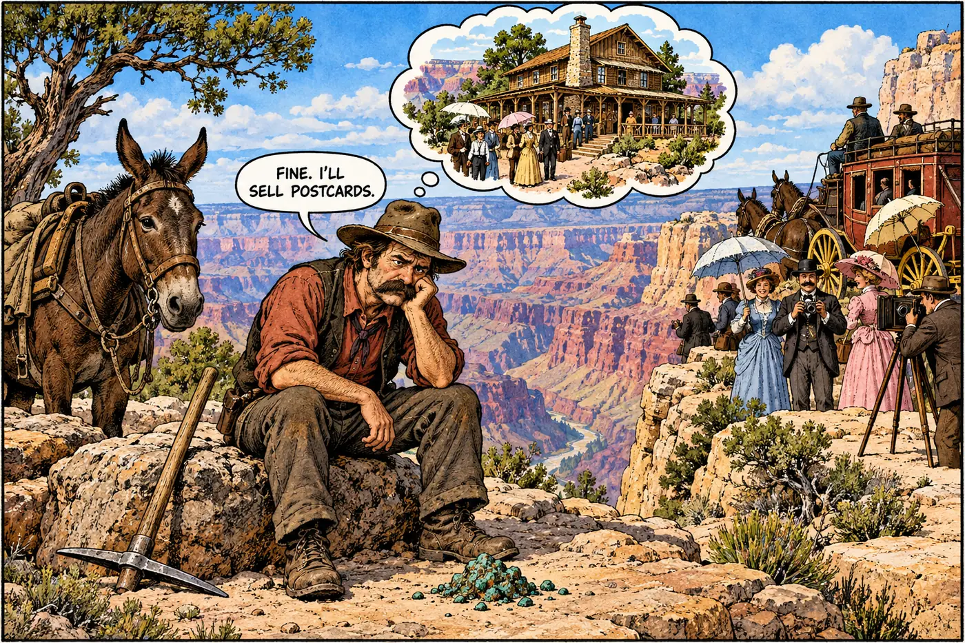
Tramway, shaft, headframe
Getting people and ore in and out of a mine whose shaft ran somewhere around 1,500 to 1,600 feet deep (sources differ) wasn’t simple. From 1955 until 1959, an aerial tramway carried workers down to the operation — for several years it was the only way in or out of the only working mine inside the park boundary. In 1959 the company finished a vertical shaft with an elevator, and a headframe went up over it to run the hoist. The tramway kept running as a secondary system until it was finally dismantled in 1965.
There was even a wilder proposal on the table: in 1961, Western Gold, the operator by then, floated plans for an eighteen-story, six-hundred-room hotel cantilevered out over the canyon rim near the mine. It never got built. According to regional histories, Congress did approve a compromise in the early 1960s that let the mine’s operations extend into park land, which kept an active uranium mine legally running inside a national park into the late 1960s.
Mining stopped for good in 1969. The site was walked away from with no reclamation — no backfilling, no equipment removal, no site closure in the modern regulatory sense. It just sat there, fenced or not, for the better part of two decades.
What the mine actually produced
The number that gets repeated most often online — 800,000 tons of ore, 13 million pounds of uranium — doesn’t match the government’s own figures. NPS and USGS put the real production at approximately 495,106 tons of ore, yielding 4,257,571 pounds of uranium oxide (U3O8) between 1956 and 1969, plus byproduct copper, silver, and vanadium. It’s still an enormous haul for a single South Rim claim — just not the inflated version that circulates in trivia lists.
NPS takes over, slowly
The Park Service didn’t acquire the Orphan Mine property until 1987, nearly two decades after the last shipment left. Environmental investigation started even before that, in 1981, under the same federal law — CERCLA — that governs Superfund cleanups nationally. But “the same law” doesn’t mean “the same program.”
Here’s the distinction that gets lost in most retellings: EPA’s own Superfund site database lists Orphan Mine as not on the National Priorities List. It was archived years ago with a “no further remedial action planned” designation and EPA’s determination that “no further federal action will be taken at this site.” That’s EPA saying it’s not their project.
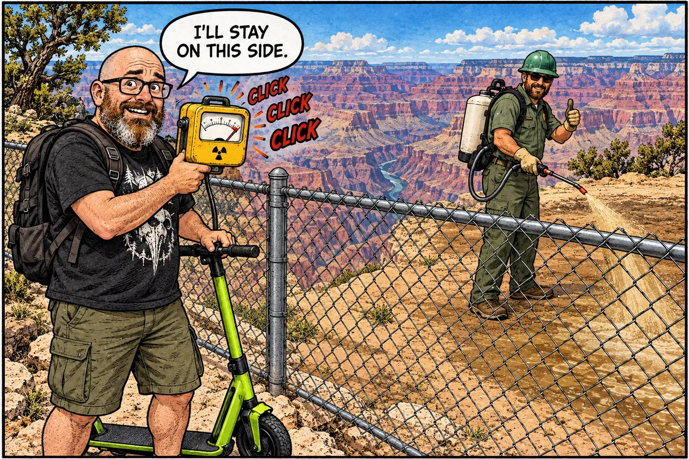
It’s NPS’s project instead. As the federal agency that owns the contaminated land, NPS acts as its own CERCLA lead agency — investigating, planning, and funding removal work directly rather than handing it to EPA’s Superfund program. In practice that’s meant a slow, phased cleanup: equipment and debris removal in 2009, a year of radon monitoring and soil sampling in 2011, and an ongoing engineering evaluation to decide what a full cleanup should look like. As of the most recent public update, the upper mine area is still double-fenced and gated, soil stabilizer gets reapplied every couple of years (most recently September 2025), and rangers walk the fence line monthly from March through October.
The Horn Creek problem
Downhill from the mine, Horn Creek is the part of this story that shows up on hiking forums, usually with a warning attached: don’t drink it. USGS’s most recent regional water study found the highest uranium concentration it has ever measured anywhere in the Grand Canyon — 293 micrograms per liter — at a spring in Horn Creek, roughly ten times the EPA’s drinking-water standard of 30 µg/L. USGS notes plainly that Horn Creek sits near the Orphan Mine workings, “which may have pathways for water migration through the mine.”
But the fuller picture, from a 2023 peer-reviewed USGS study, is more interesting than “the mine poisoned the creek.” Uranium levels are highest right where groundwater first emerges from bedrock at the top of the watershed, then drop by roughly a factor of ten by the time that water works its way down through the alluvium lower in the drainage. The isotope chemistry suggests at least part of that uranium is coming from natural interaction with the same mineralized rock — a breccia pipe deposit — that made the mine worth digging in the first place. Separately, elevated tritium in the water points to a real component of modern water that has likely passed through the old mine workings themselves. Both things are true at once: Horn Creek’s water is naturally uranium-rich because of the geology under it, and the abandoned mine adds its own contribution on top of that. An independent 2016 sample by a UC Berkeley radiation-watch group measured a lower 23 µg/L at the time and location it sampled — a reminder that these numbers swing hard depending on flow, season, and exactly where along the creek you test. USGS’s own monitoring record since 2018 has swung from roughly 150 µg/L up to that 293 µg/L peak.
Either way, the signs at Horn Creek say what they say for a reason. It’s marked “Do Not Drink,” full stop.
What’s actually off-limits (and why)
The current Grand Canyon National Park Superintendent’s Compendium — the park’s official rulebook for closures — spells out the Orphan Mine restriction in plain terms. Both the upper site (about 200 yards north of Hermit Road, between Maricopa and Powell Points) and the lower site (roughly 1,100 feet below the rim) are enclosed by a three-strand wire fence and closed to public entry, full stop, under 36 CFR § 1.5(a)(2). The park’s own explanation is short: it was an active uranium mine from 1956 to 1969, and the area still has open shafts, sharp metal, and “varying levels of radioactivity.”
That’s not a blanket ban on visiting the general area near Maricopa and Powell Points — the rim trail and overlooks nearby stay open. It’s specifically the fenced mine site itself: the shafts, the old workings, and the ground immediately around them. The fence lines and locked gate are the actual enforcement mechanism, backed up by the regulation; NPS staff and researchers can still get in with written permission for park management or study purposes, same as they can at other closed sites in the park.
Nobody’s hiding an Egyptian city under the canyon. What’s actually down there is a lot simpler and, honestly, more instructive: an old copper claim that became a Cold War uranium mine, an agency that took eighteen years to get around to buying the land, and a cleanup that’s still going more than half a century after the last truckload of ore left the rim.
Dan Hogan stakes the "Orphan lode" as a copper claim; it never produces enough copper to matter.
Hogan patents the claim with Charlie Babbitt, locking in private ownership of land that a national park will later surround.
Hogan builds a small lodge on-site for canyon visitors, then sells the property for $55,000 in 1946.
Geologists identify high-grade uranium deposits in the old workings, kicking off a second life for the claim.
A private company runs the mine at full production, shipping roughly 495,000 tons of ore for about 4.26 million pounds of uranium oxide, via tramway and later a shaft-and-headframe hoist.
Operations stop. Equipment, tailings, and workings are left in place.
Federal environmental investigation begins in 1981; NPS finally acquires the land itself in 1987.
NPS runs its own CERCLA removal action: surface debris and the headframe removed by 2009, radon and soil studies in 2011, fencing and soil stabilization maintained and reapplied through at least September 2025.
Sources
- Community Fact Sheet: Orphan Mine CERCLA Site (April 2025 Update) — National Park Service
- Grand Canyon National Park Superintendent's Compendium, effective June 16, 2026 — National Park Service
- Science for Decision Making on Uranium Mining in Arizona: Orphan Mine — U.S. Geological Survey
- Water resources related to breccia pipe uranium mining in the Grand Canyon region, USGS Fact Sheet 2024-3055 — U.S. Geological Survey
- Anthropogenic influence on groundwater geochemistry, Horn Creek watershed near Orphan Mine — U.S. Geological Survey / Beisner, Davidson & Tillman, 2023
- Orphan Mine Superfund Site Profile (EPA ID AZN000908478) — U.S. Environmental Protection Agency
- Update: At Grand Canyon National Park, an Abandoned Uranium Mine Must be Cleaned Up — National Parks Traveler (reproducing official 2008 NPS announcement)
- Orphan Mine — Nature, Culture and History at the Grand Canyon (Grand Canyon Historical Society)
- The Orphan Lode Uranium Mine in the Grand Canyon — Intermountain Histories
- Grand Canyon Horn Creek — UC Berkeley RadWatch