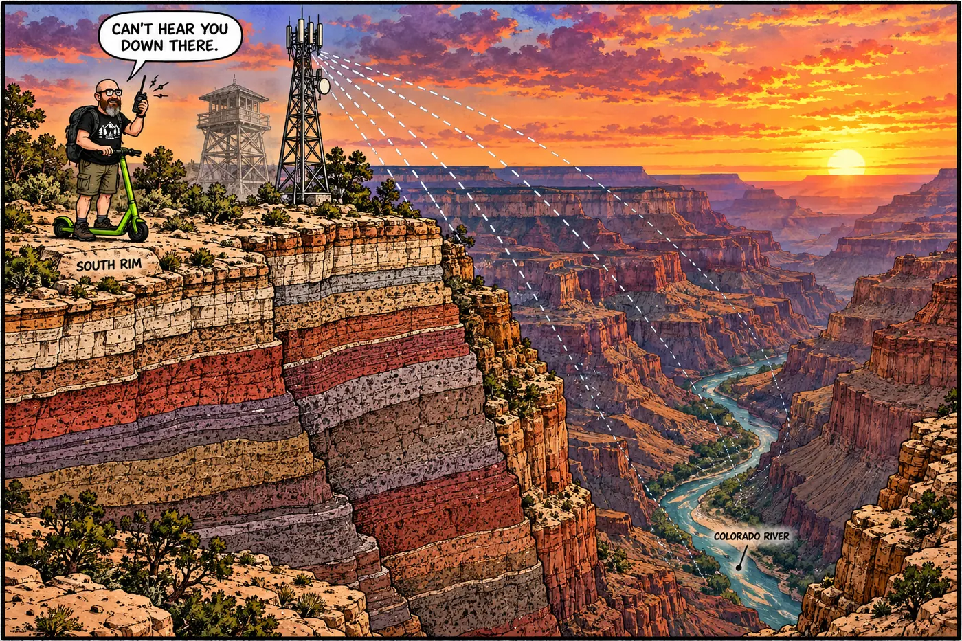
A mile deep and eighteen miles wide, the Grand Canyon is close to the worst possible shape for a radio network. Rangers, medics, and firefighters have been fighting that geography with towers on the rim since 1909 — first to spot smoke, later to talk to each other — and the federal paper trail on how that fight has gone is more candid than you'd expect.
The short version
- Grand Canyon’s radio system grew out of fire lookout towers built starting in 1909, decades before two-way radio existed at the park.
- As of a 2007 federal study, large stretches of backcountry and inner-canyon terrain had no radio coverage at all — the canyon’s own terrain blocks line-of-sight signal.
- The park tried satellite phones as a gap-filler and found them less reliable than radio in the canyon, with frequent dropped connections.
- A federal mandate forced NPS to convert from old analog radio to digital “narrowband” technology, a process the park planned in 2006-2007 and (per non-federal sources) largely finished around 2010.
- The repeater network runs four separate operational channels — Law Enforcement, Fire, Medical, and Administrative — plus a tactical network for active incidents.
- A newer, separate layer — satellite text alerts for hikers and river runners — supplements radio and made its first real public test during the August 2026 Bright Angel Canyon flood.
From fire lookout to radio repeater
Long before anyone at Grand Canyon carried a radio, they carried binoculars. The U.S. Forest Service built the park’s first fire lookout — a wooden platform in a tree at Hopi Point — as early as 1909, and it’s considered the first fire tower in Arizona. The National Park Service inherited fire-lookout duty when the park was established in 1919, and over the next two decades built out a small network of towers: Hopi Point got a steel tower in 1927, Signal Hill followed in 1929, and the Civilian Conservation Corps built the Kanabownits tower on the North Rim in 1940 — the last of four lookouts built for NPS at Grand Canyon.
By 1940, two-way radios were becoming genuinely useful firefighting tools at the park, and lookout crews — especially at Kanabownits — could radio in more accurate reports of fire behavior and weather than a phone call from the rim ever allowed. That’s the hinge point: the same towers built to watch for trouble became the backbone of a system built to talk about it. All four of the park’s historic lookout towers are inactive as fire lookouts today, a side effect of NPS shifting from all-out fire suppression toward controlled burns and other fire-management tools — but the tower sites themselves, especially Hopi Point, kept working long after the lookout jobs ended, repurposed for radio hardware instead of binoculars.
A system with holes in it
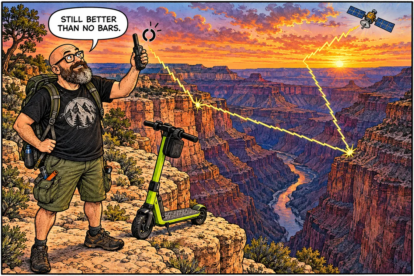
The most candid document on how well any of this actually works is a 2007 NPS Environmental Assessment for converting the park’s radio system to digital “narrowband” technology. It doesn’t sugarcoat the coverage problem: “large portions of remote, backcountry and inner-canyon areas do not have radio coverage” from the existing network. That’s not a minor gap — it’s most of the canyon below the rim.
The park’s fallback was satellite phones and satellite radios. It didn’t work as well as hoped. NPS’s own assessment says plainly that “due to the dramatic terrain in the park and the movement of the satellites, the park has found that the satellite technology is less reliable in the park than a good radio system,” with frequent dropped connections after only a short time. A canyon a mile deep blocks satellites the same way it blocks line-of-sight radio — just differently.
A 2007 engineering study conducted for the park (by Motorola, under a Department of the Interior contract) looked hard for a better answer and mostly came up empty. No site anywhere in the park’s recommended wilderness — and no site outside the park either — could match the coverage the high-elevation Mt. Emma repeater already provided for the park’s western backcountry. Getting equivalent coverage any other way would mean scattering multiple smaller repeaters at lower elevations closer to the rim, which is a worse trade in wilderness terms, not a better one.
The narrowband mandate
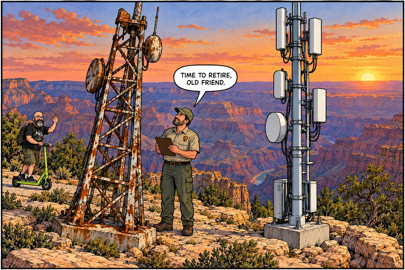
The push to modernize wasn’t Grand Canyon’s idea. The federal Omnibus Budget Reconciliation Act of 1993 put the National Telecommunications and Information Administration and the Department of Commerce in charge of moving all civilian federal radio users onto narrower channels — “narrowband” — originally targeting 2008, to free up spectrum and let public-safety agencies meet newer privacy and security standards. Grand Canyon’s old system, run on wideband analog since long before that mandate, was aging out in more than one sense: as neighboring agencies converted to digital, the park risked losing the ability to talk to them at all, and the 2007 EA flags physical decay too — “several of the towers are showing signs of rust.”
NPS opened public scoping on the conversion project in September 2006, released the Environmental Assessment in May 2007, and proposed a Preferred Alternative built around four primary repeater sites: the Grand Canyon Village Emergency Services Building, Hopi Point Fire Tower, and Desert View Ranger Station on the South Rim, plus CC Hill on the North Rim — with Mt. Emma and (optionally) Kanabownits as secondary sites, and outside-park sites at Paria, VT Ridge, and O’Leary Peak rounding out the network. That plan replaced the park’s aging analog gear largely in place, rather than reinventing the network’s geography.
Whether — and exactly when — that plan was fully built is less well documented in the federal record than the plan itself. RadioReference Wiki, a volunteer-run radio-monitoring reference (not an NPS source, and treated here only as corroborating color, not fact), describes the park completing “Phase 1” of a switch to a multi-site, simulcast P25 digital system in 2010, using the same three core South/North Rim sites named in the 2007 federal plan. That site list lining up exactly with the official plan is good circumstantial evidence the project got built — but no NPS decision document or completion notice from that period turned up in this research to confirm the date directly.
What runs on it
Today’s network carries four separate operational radio channels — Law Enforcement, Fire, Medical, and Administrative — plus a tactical network reserved for active incident response, according to the 2007 baseline description (the most detailed public breakdown of the system’s structure found in the federal record). That structure supports more than ranger dispatch: during the 2007 planning process, the park’s own helicopter aviation contractor told NPS its existing radio link at the shared Desert View site was “critical to aviation safety,” and outside agencies — the county Sheriff’s Department, Arizona’s Department of Public Safety, and the Navajo Nation’s Department of Resource Enforcement — all asked to be considered for continued or new access to that same site, specifically to improve backup coverage for search-and-rescue and mutual-aid calls.
In 2020, NPS separately completed a broader Telecommunications Plan and Environmental Assessment — covering cell towers, small-cell sites, and fiber, not the two-way radio system itself — meant to close service gaps affecting the park’s roughly 6.4 million annual visitors and dozens of partner organizations, from concessioners to tribes to law enforcement agencies. NPS issued a Finding of No Significant Impact on that plan on November 19, 2020.
The newest addition isn’t radio at all. The Grand Canyon River Alert system — a joint project of USGS’s Grand Canyon Monitoring and Research Center, Coconino County Emergency Management, the National Weather Service, and NPS — pushes hazard alerts straight to visitors’ personal satellite messaging devices (Garmin, SPOT, and similar units) for things like flash floods and boating hazards; river and backcountry travelers opt in by texting a keyword to a park number. That system got a real-world test on August 29, 2026, when a flash flood tore through Bright Angel Canyon and Phantom Ranch. NPS’s own public update on the flood specifically credits “river operations rangers and the Grand Canyon River Alert system” with directing river parties who were already in the canyon during the emergency — a small but telling sign that the park’s communications strategy now leans on more than towers and repeaters alone.
What’s actually off-limits (and why)
The park doesn’t publish a map of its radio infrastructure, and for good reason — but it does publish, in plain language, that the equipment sites themselves are closed ground. The Hopi Point Repeater Site and its access road are closed to public entry under the current Superintendent’s Compendium, “for public safety and protection of the integrity of operational communications equipment.” That’s the general pattern across the network’s active sites: the towers you can often see from an overlook are working infrastructure, fenced or gated, not open hiking destinations — see the Hopi Point page for the specifics of one such closure.
U.S. Forest Service builds a wooden tree-top fire lookout, likely Arizona's first fire tower, years before the park itself exists.
Grand Canyon National Park is established; NPS inherits responsibility for the growing lookout network.
Two-way radios start gaining real importance at the park's lookouts, especially the newly built Kanabownits tower.
Congress directs all civilian federal radio users toward digital "narrowband" technology to free up spectrum.
NPS scopes, studies, and proposes a four-primary-site digital repeater network to replace its aging analog system.
Per a non-federal radio-monitoring source, the park finishes the first phase of its digital P25 system on the sites named in the 2007 plan.
NPS finalizes a separate plan for cell coverage, small-cell sites, and fiber across the park, with a Finding of No Significant Impact issued November 19, 2020.
The Grand Canyon River Alert system helps direct river parties during the August 29 Bright Angel Canyon flash flood.
Sources
- Narrowband/Digital Radio System Conversion Environmental Assessment, May 2007 — National Park Service
- Minimum Requirements Analysis, Appendix B (May 18, 2007) — National Park Service / Motorola
- Minimum Requirement Analysis, Appendix B (narrowband mandate background) — National Park Service
- Narrowband Conversion EA, Appendix A — National Park Service
- Grand Canyon National Park — RadioReference Wiki (community-maintained, non-primary source)
- Telecommunications Plan and Environmental Assessment project page — National Park Service
- Telecommunications Plan FONSI, November 19, 2020 — National Park Service
- Grand Canyon Backcountry & River Alerts — National Park Service
- Significant Flash Flooding Closes Phantom Ranch and North Kaibab Trail — National Park Service
- Grand Canyon National Park Superintendent's Compendium, effective June 16, 2026 — National Park Service