Strip out the mystery and the Grand Canyon's "restricted areas" turn out to be a 48-page municipal rulebook: forty-nine numbered closures and use limits, each with a named reason and a federal regulation attached. Here's the whole list, organized the way the park itself organizes it — by district, not by drama.
The short version
- Every closure in this catalog comes from one document: the Grand Canyon National Park Superintendent’s Compendium, effective June 16, 2026, issued under 36 CFR § 1.5.
- The compendium lists 49 numbered provisions — most are specific closed areas (a fenced plant, a mine, a repeater site), a few are park-wide behavior rules (drone bans, vehicle-length limits, a rodenticide ban).
- Almost every entry cites the same regulation, § 1.5(a)(2), and gives a one-line stated reason: public safety, resource protection, or both.
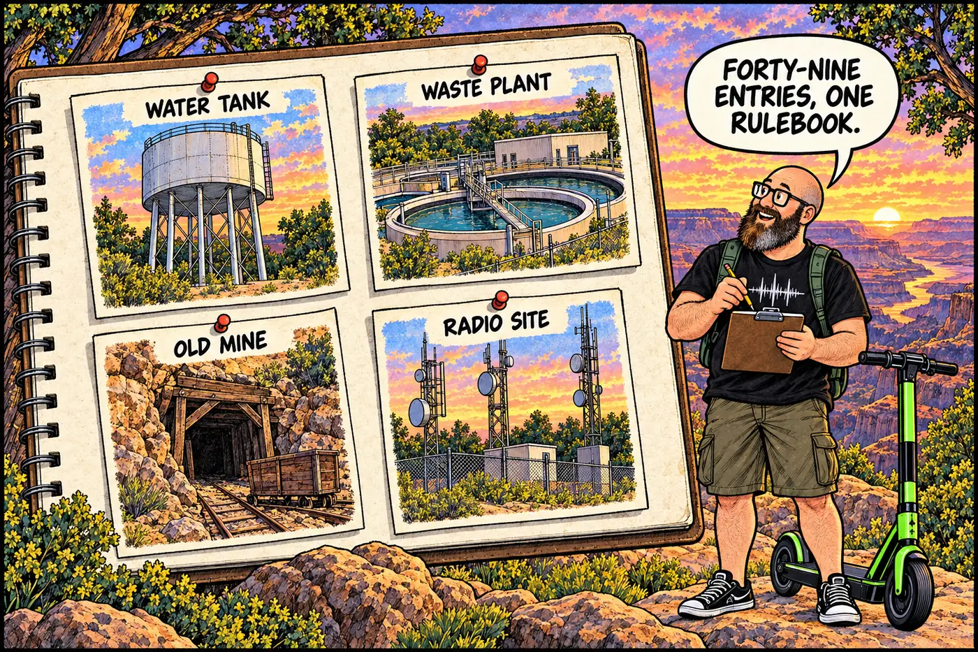
- The biggest single category isn’t mines or cultural sites — it’s mundane utility infrastructure: wastewater plants, water tanks, and landfills account for roughly a third of all named closures.
- Two entries (Bass Asbestos Mine, Furnace Flats) are listed twice in the compendium itself, once in the general provisions and again under the Canyon District — an artifact of how the document is organized, not two separate places.
- None of the closures below apply to NPS staff on official business; the compendium governs the visiting public, not the agency running the park.
How this catalog is built
The compendium organizes its closures into rough geographic and topical blocks: general park-wide provisions, South Rim District, Canyon District (inner canyon/river-adjacent), North Rim District, River Corridor, Little Colorado River, and two separate lists of roads closed to vehicles and to all mechanized travel. This page follows that same structure. For the legal mechanics behind § 1.5 — why the superintendent has this authority, what ARPA and the Federal Cave Resources Protection Act add on top of it — see What Is Actually Off-Limits at the Grand Canyon, and Why?. This page is the reference table; that one is the explanation.
Park-wide restrictions (apply everywhere in the park)
| Closure / rule | Reason (NPS stated) | CFR basis |
|---|---|---|
| Anasazi Bridge closed to public, including the Redwall climbing route | Cultural resource protection; climbing route is a safety hazard | § 1.5(a)(2) |
| Bass Asbestos Mine — 500-ft no-entry buffer (Hakatai Canyon) | High asbestos fiber levels; cultural resource | § 1.5(a)(2) |
| Commercial Rim-to-River-to-Rim day hikes prohibited | Human health and safety | § 1.5(a)(2) |
| No approaching elk, bison, or deer within 25 yards | Prevent injury to visitors and disturbance to wildlife | § 1.5(a)(2) |
| Furnace Flats closed without written permission | Protection of a significant cultural resource | § 1.5(a)(2) |
| Maricopa Point Endangered Plant Area closed | Protects a large population of sentry milk-vetch | § 1.5(a)(2) |
| All mines, park-wide, closed without written permission | Safety, unrecorded features, archaeology, wildlife habitat | § 1.5(a)(2) |
| Vehicles over 22 ft restricted from listed rim roads/lots | Limited parking configurations | § 1.5(a)(2) |
| Commercial buses/vans may only idle while loading/unloading | Reduce air and noise emissions | § 1.5(a)(2) |
| Drones (UAS) banned without written approval | Safety, wildlife disturbance, emergency helicopter operations | § 1.5(a)(2) |
| Rodenticide banned without written approval | Prevent secondary poisoning of wildlife and pets | § 1.5(a)(2), NPS Mgmt Policies 4.4.5.3, § 2.2(a)(1) |
| 21-gun salutes limited to Memorial Day / military interments | Personnel and resource allocation | § 1.5, § 2.50, RM 53 C8-1 |
South Rim District
| Closure | Reason (NPS stated) | CFR basis |
|---|---|---|
| South Rim Range and Range Road | Firearms training happens any time of day/night; protects public from projectile exposure | § 1.5(a)(2) |
| South Rim Wastewater Treatment Plant | Public safety hazards associated with wastewater treatment (Arizona DEQ) | § 1.5(a)(2) |
| South Rim Lagoons and Access Road | Same wastewater-hazard basis | § 1.5(a)(2) |
| South Rim Water Tanks | Public safety and safety of the drinking water supply | § 1.5(a)(2) |
| Former South Rim Landfill Site | Potentially hazardous legacy site (Arizona DEQ) | § 1.5(a)(2) |
| Desert View Wastewater Treatment Plant, Lagoons, Access Road | Wastewater-hazard basis | § 1.5(a)(2) |
| South Gate Storage Site (Maintenance and Protection) | Protection of government property | § 1.5(a)(2) |
| Hopi Point Repeater Site and access road | Public safety; integrity of communications equipment | § 1.5(a)(2) |
| South Rim Remediated Leaking Underground Storage Tank site | Legacy fuel leak; Arizona DEQ requirements | § 1.5(a)(2) |
| Orphan Mine (upper and lower sites) | Former uranium mine: open shafts, sharp metal, radioactivity | § 1.5(a)(2) |
| Maintenance Operations Center, fueling area, Shuttle compound, Wildland Fire Base, Aviation Operations Area | Protect government property/files; employee safety | § 1.5(a)(2) |
| 1926 Wastewater Treatment Plant (300-ft public standoff) | Public hazard protection | § 1.5(a)(2) |
Canyon District (inner canyon and river-adjacent)
| Closure | Reason (NPS stated) | CFR basis |
|---|---|---|
| Phantom Ranch Wastewater Treatment Plant | Wastewater-hazard basis | § 1.5(a)(2) |
| Hopi Salt Mines | Significant, fragile cultural resource | § 1.5(a)(2) |
| Bass Asbestos Mine (repeated here in the compendium’s own list) | Asbestos fiber levels; cultural resource | § 1.5(a)(2) |
| Furnace Flats (repeated here in the compendium’s own list) | Cultural resource protection | § 1.5(a)(2) |
| Glass beverage containers banned around Phantom Ranch | Broken-glass safety hazard; trash left on trail | § 1.5(a)(2) |
| Cave of the Domes | Protect roosting/hibernating bats; prevent white-nose syndrome spread | § 1.5(a)(2) |
| Roaring Springs Pumphouse and helistop (100-ft standoff) | Protect critical infrastructure; public safety | § 1.5(a)(2) |
North Rim District
| Closure | Reason (NPS stated) | CFR basis |
|---|---|---|
| Little Park (Lower Little Park Meadow and roadway) | Wildlife capture facility is a hazard to visitors | § 1.5(a)(2) |
| North Rim Range and Range Road | Firearms training hazard | § 1.5(a)(2) |
| North Rim roads closed Dec. 1–May 15 | Unmaintainable snow conditions on Hwy 67 and dirt roads | § 1.5(a)(2) |
| North Rim Wastewater Treatment Plant | Wastewater-hazard basis | § 1.5(a)(2) |
| North Rim Water Tanks | Public safety and drinking-water safety | § 1.5(a)(2) |
| Marble Flats Landfill Site | Potentially hazardous legacy materials | § 1.5(a)(2) |
| Lindbergh Hill Landfill Site | Potentially hazardous legacy materials | § 1.5(a)(2) |
| Tuweep visitation caps (30 vehicles/85 people; 4/11 per group) | Protect resources; preserve primitive visitor experience | § 1.5(a)(2) |
| Tuweep road-damage rule (no driving on muddy roads) | Resource protection; visitor safety | § 1.5(a)(2), § 2.1(a)(1)(ii), § 4.10 |
River Corridor and Little Colorado River
| Closure | Reason (NPS stated) | CFR basis |
|---|---|---|
| Lower Granite Gorge — downstream-only, 55-hp cap | Whitewater danger to upstream oar travel | § 1.5(a)(2) |
| Deer Creek Drainage — no ascending/descending the narrows | Protection of a significant cultural resource | § 1.5(a)(2) |
| Little Colorado River — boats prohibited from the channel | Protects humpback chub nursery habitat | § 1.5(a)(2) |
| LCR southern half — no swimming/wading, March–November | Protects humpback chub habitat | § 1.5(a)(2) |
| LCR stream crossings limited to near the confluence | Protects humpback chub habitat | § 1.5(a)(2) |

Roads closed to vehicles and to mechanized travel
The compendium carries two separate road lists, and neither is really a “site” — they’re categories. The first closes dozens of named South Rim fire-road segments (identified by codes like E-1 or W-6) to motorized traffic, along with a seasonal closure of West Rim Drive to private vehicles from March through November, and year-round restricted access on the Yaki Point and South Kaibab Trailhead access roads. The stated reason ties back to the park’s General Management Plan goal of keeping the South Rim’s developed areas walkable rather than car-choked.
The second list is stricter: it closes roughly two dozen more road segments, mostly on the North Rim’s Kaibab Plateau, to all motorized and mechanized travel — no vehicles, no bicycles. These fall inside the park’s Final Wilderness Recommendation boundaries (1993 update, refreshed 2010). A separate rule for the Tuweep/western canyons area limits motorized and mechanized travel to a short list of named roads, with everything else west of Kanab Creek off-limits to wheels entirely. Neither list is reproduced route-by-route here; the point of this catalog is what’s restricted and why, not turn-by-turn navigation.
What’s actually off-limits (and why)
Read across all 49 entries and a pattern falls out fast: this isn’t a park hiding secrets, it’s a park running a small municipality’s worth of infrastructure inside a wilderness boundary. Roughly a third of the named closures are wastewater plants, water tanks, or landfills — unglamorous hazards regulated the same way any Arizona utility would be. A handful protect specific endangered or culturally significant sites (sentry milk-vetch, Hopi Salt Mines, Furnace Flats, humpback chub habitat). A few protect the public from the park’s own operations — firing ranges, a wildlife capture pen, a fuel-tank leak site. And two, Orphan Mine and Cave of the Domes, are legacies of industrial history and a bat disease, respectively, not government secrecy. Every one of them has a name, a reason, and a regulation number, published in a document anyone can request.