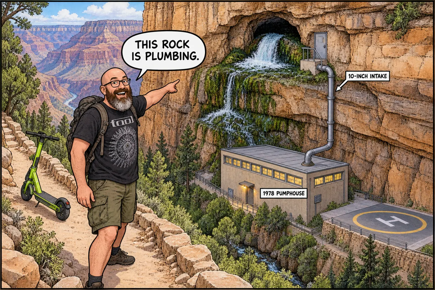
Roaring Springs sits about 3,000 feet below the North Rim, in a cave at the junction of two faults, and for nearly a century it has done one unglamorous job: keep the taps at Grand Canyon National Park running. A family lived down there and ran the pump by hand for 33 years. As of September 2026, a flood-damaged pipeline means the spring's job is finally about to shrink.
The short version
- Roaring Springs is a natural spring fed by snowmelt soaking into the North Rim’s higher, wetter plateau, emerging from a cave roughly 3,000 feet below the rim.
- It has supplied North Rim water since 1928, and for decades has been the sole source for the entire park’s piped drinking water via the 12.5-mile Transcanyon Pipeline.
- Artist Bruce Aiken and his family lived at the pumphouse from 1973 to 2006, running the pump, watching the spring, and fixing the system by hand — one of the more unusual full-time jobs in the National Park Service.
- The pumphouse, its helistop, and the surrounding water infrastructure are closed to public entry under the park’s Superintendent’s Compendium; the public must stay 100 feet back.
- A years-long rebuild of the Transcanyon system (see the Transcanyon Waterline dossier) is relocating the South Rim’s main water intake away from Roaring Springs to Bright Angel Creek — Roaring Springs will keep serving the North Rim, but stop carrying the whole park on its back.
- The August 29, 2026 flash flood damaged the Roaring Springs intake area itself, on top of wrecking roughly 40% of the old pipeline downstream.
A spring, not a well
Roaring Springs isn’t a drilled or engineered water source — it’s where groundwater that soaked into the Kaibab Plateau on the North Rim finds its way back out. The North Rim sits higher and catches more snow than the South Rim, so its underlying aquifer recharges more reliably; that’s part of why this particular spring, rather than something closer to the South Rim, ended up carrying the park’s water supply. The spring emerges from a cave near the junction of two geologic faults, and most of the water that comes out continues downhill into Bright Angel Creek — only a portion is diverted into the pipeline system for park use. Officials have said the park’s extraction from the spring is already at its practical maximum, which is one more reason the newer water project draws instead from Bright Angel Creek near Phantom Ranch, not from expanding the Roaring Springs intake itself.
Built once in 1928, rebuilt for good in the 1960s
The North Rim’s Grand Canyon Lodge needed water before the modern pipeline existed, and the first system to solve that problem went in during 1928. The Utah Parks Company and the Union Pacific Railroad strung a cable tramway from Bright Angel Point down to Roaring Springs to haul in construction materials, then dammed Bright Angel Creek just below where Roaring Springs joins it. A sluice carried water from that dam to a small powerhouse, which generated the electricity to run a pump that lifted water nearly 4,000 vertical feet up to a tank on the rim. It worked, and worked for a long time — even after decades of upgrades, this basic arrangement (spring, dam, pump, long vertical lift) was still supplying both water and electricity to Bright Angel Point as recently as a 2013 National Park Service historic-district survey. A remnant of that original 1928 cable tramway — a partially collapsed wooden platform with a big spool of steel cable still sitting nearby — survives near the bottom of Roaring Springs Canyon.
The system that put Roaring Springs on the map for the rest of the park came later. Starting in the mid-1960s, the Park Service built the Transcanyon Pipeline: a 12.5-mile gravity-and-pump line that runs from the Roaring Springs intake down through Bright Angel Canyon, across the Colorado River, and up to the South Rim. That much larger story — construction, decades of failures, and the $208 million rebuild now underway — belongs to the Transcanyon Waterline dossier. What matters here is that from the 1960s until 2026, Roaring Springs was effectively the only tap the whole park had.
The water intake itself is a small, specific piece of hardware: a 10-inch pipe set into a natural cave, penetrating about a foot in for suction, sitting behind a spring-loaded metal door reached by a short metal stair and landing. From there, the water heads downhill to the pumphouse.
A family lived at the bottom of the canyon for 33 years
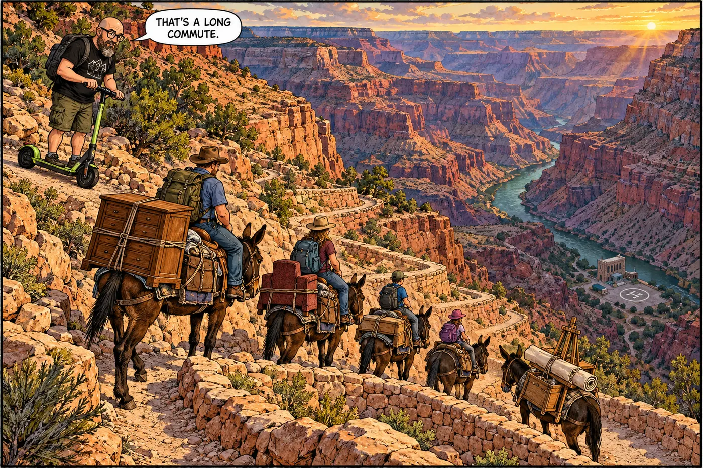
For most of the pipeline’s working life, someone had to actually be there. Bruce Aiken took the job of Roaring Springs pumphouse operator in 1973 and held it until 2006 — 33 years. He and his wife moved down to the pumphouse, 5.5 miles and about 4,000 feet below the North Rim, and raised three children there. The job was exactly what it sounds like: he manned the pump house, monitored how much water the spring was putting out, and carried out repairs on the system himself, in one of the more physically remote maintenance postings in the entire Park Service. Aiken was also a working painter, and spent his decades at Roaring Springs building a body of Grand Canyon landscape art that eventually earned gallery representation and an honorary doctorate from Northern Arizona University — an odd but well-documented case of a utility worker’s day job becoming most of his artistic subject matter.
Aiken wasn’t the first person posted down there. In the 1940s, Stanley and John Brown of Kanab, Utah spent the warm season living at Roaring Springs and looking after the North Rim’s water facilities, according to a regional trail-history account — a less-documented predecessor to the Aiken era, but consistent with the idea that this has long been a hands-on, live-in job rather than a remote-monitored one.
No public source located for this piece describes who runs the pumphouse today, or whether monitoring has shifted to something less than a full-time, live-in posting since 2006. That’s a genuine gap in the public record, not a claim we’re making either way.
Utah Parks Co. and the Union Pacific dam Bright Angel Creek below Roaring Springs and pump water nearly 4,000 vertical feet to a North Rim tank, using a cable tramway to haul in materials.
The dam-sluice-powerhouse-pump arrangement goes fully operational, supplying both water and power to Bright Angel Point.
NPS constructs the 12.5-mile aluminum pipeline from Roaring Springs to the South Rim, making the spring the source for the whole park, not just the North Rim.
The Pumphouse Operator's Residence (1972) and the current Roaring Springs Pumphouse building (1978) are constructed; both still stand.
Bruce Aiken and his family live at the pumphouse full-time, running the water system by hand for 33 years.
NPS awards a $208 million contract to rebuild the water system, with a new intake planned for Bright Angel Creek near Phantom Ranch instead of Roaring Springs.
A flash flood in Bright Angel Canyon damages the Roaring Springs intake area and destroys roughly 40% of the old pipeline downstream, forcing an emergency temporary fix.
What’s actually off-limits (and why)
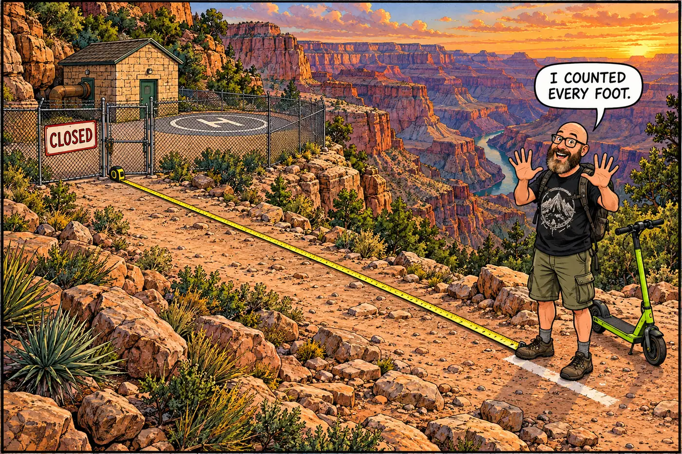
The current Superintendent’s Compendium is direct about this one: the Roaring Springs Pumphouse, its attached helistop, and the surrounding water-source infrastructure are closed to public entry, and the public has to stay 100 feet back from any of the water infrastructure there, under 36 CFR § 1.5(a)(2). The park’s own explanation is short — it’s “necessary to protect critical park infrastructure and to protect the public from hazards.” Unlike some of the canyon’s closures, this one isn’t about a historic hazard site; it’s a working utility installation that happens to sit at the bottom of one of the most photographed landscapes in the country, and NPS treats it the same way any water utility treats its intake and pump equipment: fenced, closed, hands off.
The North Kaibab Trail still runs right past Roaring Springs, and the spur trail down to the falls remains a legitimately popular hiking destination — it’s the pumphouse, helistop, and intake structure specifically that are closed, not the general area.
Since the 2026 flood, Roaring Springs has an extra layer of relevance: it’s now both a restricted utility site and a piece of infrastructure that just took storm damage, in a system that’s mid-rebuild. For the mechanics of that rebuild and the flood’s broader effects on the pipeline, see the Transcanyon Waterline dossier and inner-canyon water distribution.
Sources
- Cross Canyon Corridor Historic District, National Register of Historic Places Nomination (2013) — National Park Service / npshistory.com
- Grand Canyon National Park Superintendent's Compendium, effective June 16, 2026 — National Park Service
- Transcanyon Waterline (TCWL) project page — National Park Service
- Designing a Water System for the Future — Grand Canyon Conservancy
- A Gurgle Beneath the Roar: The Grand Canyon's Hidden Water — SAGE Magazine
- A 33-year NPS vet, artist Bruce Aiken recounts the Grand Canyon of his past — Williams-Grand Canyon News
- About Bruce Aiken — Bruce Aiken Fine Art
- Grand Canyon Rim-to-Rim History — Aiken Family — Ultrarunning History
- Grand Canyon National Park accelerates water restoration, search efforts continue — FOX 10 Phoenix