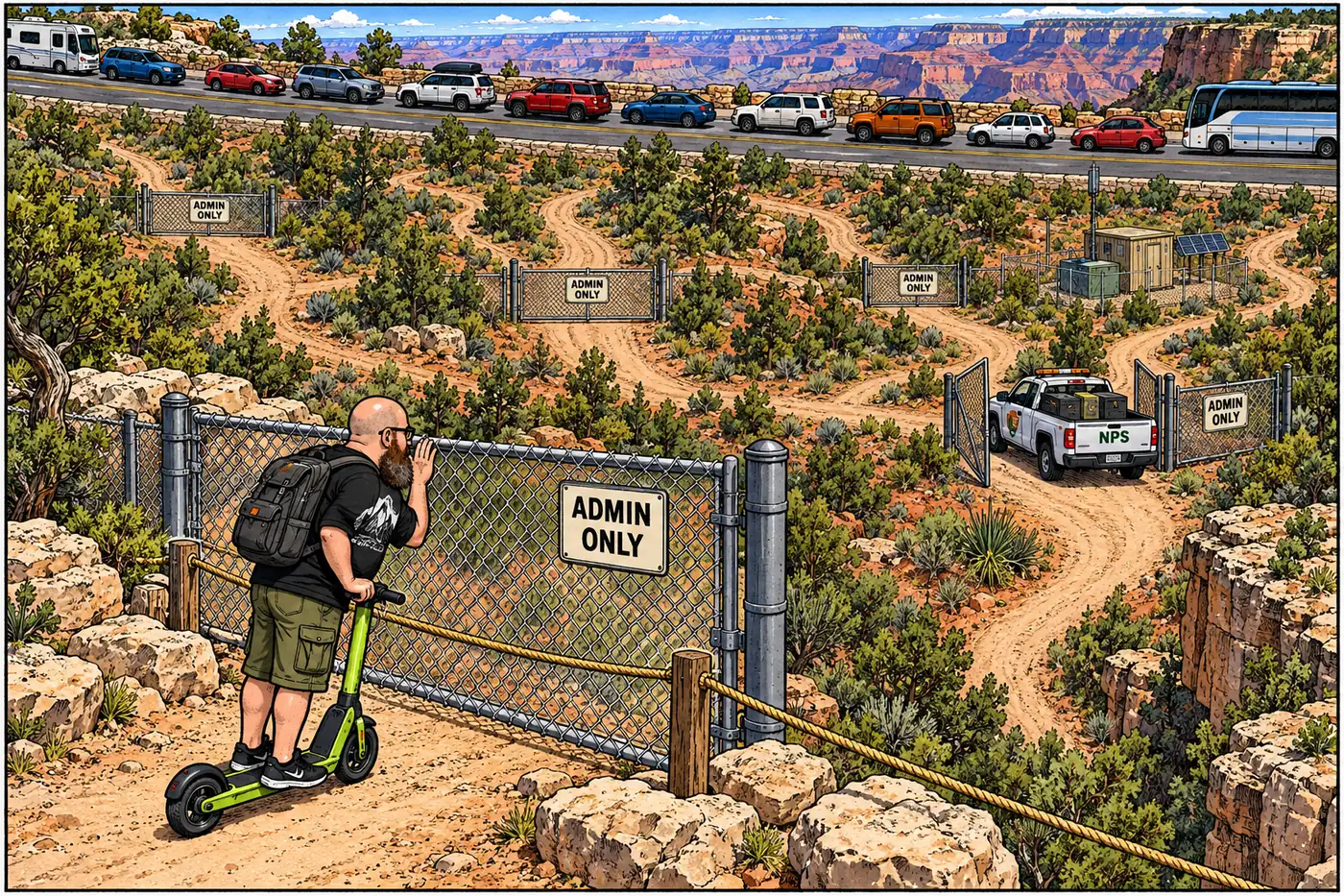
The Grand Canyon has more road than you're allowed to drive. Behind the two paved highways every visitor knows sits a second network — E-roads, W-roads, fire roads, a firing-range road, a repeater-site road — mostly gated, mostly unpaved, and mostly there so government trucks can get somewhere the public isn't supposed to follow.
The short version
- The Superintendent’s Compendium — the park’s current rulebook — closes roughly 30 named fire and service roads to public motor traffic outright, with an exemption for official NPS business.
- A stricter tier bans bicycles too: dozens of North and South Rim roads are closed to all motorized and all mechanized travel under the park’s Wilderness Recommendation.
- Some closures are about crowding, not secrecy: Hermit Road (West Rim Drive) shuts to private cars every March-through-November to keep the South Rim from turning into a parking lot.
- Others are about hardware and safety: the Hopi Point repeater access road, the South Rim firing range road, and the South Gate government-storage road are closed year-round.
- The North Rim’s entire road network closes every winter, December 1 to May 15, because snow and downed trees make it impassable until crews dig it out each spring.
- Even a road that is open to the public — the primitive dirt routes into Tuweep/Toroweap — comes with its own restriction: don’t drive it muddy.
Two tiers of closed
The compendium sorts its restricted roads into two distinct categories, and the difference matters. The first, “Closed to Motorized Use,” bans cars, trucks and ATVs but generally still allows foot and sometimes bicycle traffic. It covers a long alphanumeric list on the South Rim — E-1 through E-15, W-1 through W-7 (plus lettered sub-segments like W-1a and W-6a), the Old Entrance Road, and “all power line roads” — identifiers that exist purely as the roads’ official closure designation, not as a route guide.
The second tier, “Closed to Mechanical Use,” is stricter: no motors, no bicycles, nothing with wheels that isn’t a wheelchair. That list leans heavily North Rim — Widforss Point, Tiyo Point and its spurs, Lower Little Park, Crystal Creek, Elephant Bog, and a dozen more named roads — plus a handful of South Rim segments like Cape Solitude and Jicarilla Point. The compendium ties this tier directly to the park’s Final Wilderness Recommendation, first adopted in 1993 and updated in 2010: these roads sit inside land NPS has proposed for formal wilderness designation, where motorized and mechanized use is incompatible with the classification regardless of who’s asking.
Both tiers carry the same standard exemption, repeated almost verbatim through the compendium: none of it applies to “official or administrative use.” A ranger, a maintenance crew, or a fire engine can use these roads; a visitor cannot.
Crowding, not secrecy
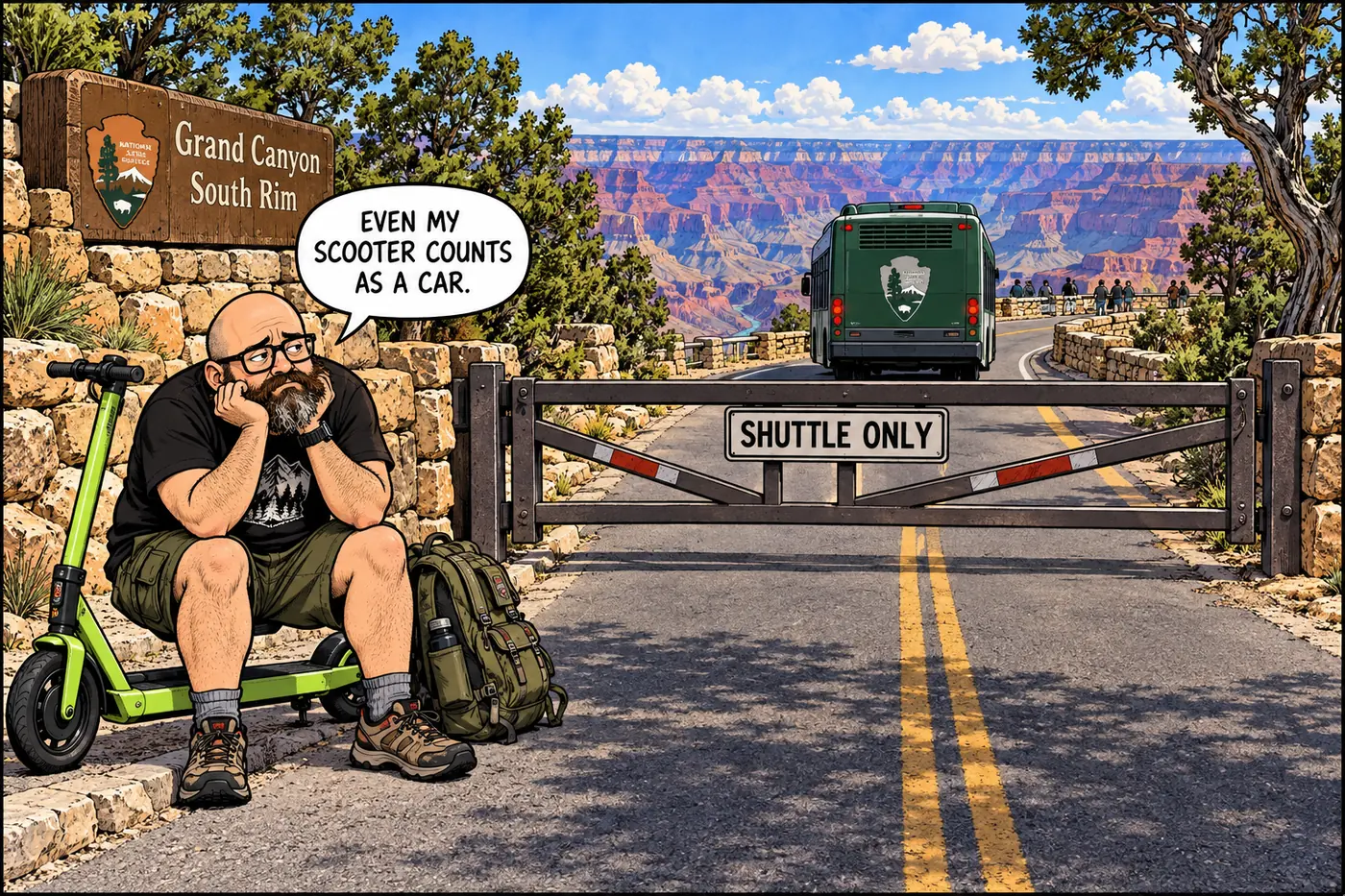
Not every closed road on this list is hiding something sensitive — some are just traffic management. Hermit Road, better known as West Rim Drive, is the clearest example. The Bureau of Public Roads and NPS built it in 1934-1935, and for decades it carried private cars all the way to Hermits Rest. Today it’s closed to private vehicles from March 1 through November 30 every year — shuttle buses, bikes, and pedestrians only — reopening to cars just for the quiet winter months. A 2008 rehabilitation, nine months of construction, widened the road to 24 feet and added a paved three-mile Greenway Trail alongside it, addressing what NPS’s own materials call a road whose “condition was poor and did not meet current safety standards.” The park’s shuttle system as a whole dates to 1974, built specifically to get private cars off the rim.
The same logic applies to Yaki Point. Its only public route in, the South Kaibab Trailhead Access Road, is closed to everyone except park employees, residents, official/administrative traffic, and visitors with a handicap-access permit — making Yaki Point the only developed South Rim overlook you can’t simply drive to. The compendium spells out the reasoning directly, quoting the park’s own General Management Plan: the goal for the South Rim is fewer parked cars and more “pedestrian spaces where visitors can enjoy the views, use visitor services, and find secluded spots.” It’s a capacity decision, not a cover story.
Roads that guard something
Other closures are unambiguously about restricting access to a specific facility. The Hopi Point repeater site and its access road are closed outright — “public safety and protection of the integrity of operational communications equipment,” per the compendium, is as much detail as the park publishes, and this page won’t add more. The South Rim firing range and its access road stay closed around the clock, because live-fire qualification can happen “at any time of day or night” and the closure exists to keep the public out of the impact zone. The South Gate storage area and its road — a Maintenance and Protection Division site — is gated and posted for the simple reason that it holds government property. And Shuttle Bus Road itself dead-ends into restricted territory: public access is cut off 250 feet south of its intersection with Center Road, the boundary of the fenced compound that holds the Maintenance Operations Center, Wildland Fire Base, and Aviation Operations Area — the same complex that houses the park’s helibase.
What’s actually off-limits (and why)
| Road / area | Who’s excluded | Stated reason |
|---|---|---|
| E-1–E-15, W-1–W-7 (South Rim fire roads) | General public (motorized) | Resource protection, limited administrative-use roads |
| North/South Rim wilderness-recommendation roads (Widforss Point, Tiyo Point, Jicarilla Point, etc.) | General public (all motorized + mechanized) | Consistency with the park’s 1993/2010 Wilderness Recommendation |
| Yaki Point / South Kaibab Trailhead Access Road | General public, private vehicles | General Management Plan vision for pedestrian-scale South Rim |
| West Rim Drive (Hermit Road), Mar 1-Nov 30 | General public, private vehicles | Congestion management; shuttle-only season |
| South Rim Range and Range Road | General public | Active firearms training, projectile exposure risk |
| Hopi Point Repeater Site access road | General public | Public safety, protection of communications equipment |
| South Gate Road / storage area | General public | Protection of government property |
| Shuttle Bus Road beyond 250 ft of Center Rd | General public | Boundary of Maintenance/Fire Base/Aviation compound |
| North Rim roads, Dec 1-May 15 | Everyone (vehicles/bikes) | Snow and downed-tree impassability |
The Bureau of Public Roads and NPS construct what's now Hermit Road out to Hermits Rest.
NPS starts running shuttle buses specifically to reduce private-vehicle traffic on the South Rim.
NPS's Final Wilderness Recommendation designates dozens of North and South Rim roads for closure to all motorized and mechanized travel.
The park's governing plan sets the stated vision of a pedestrian-scale South Rim with limited private-vehicle parking — the rationale still cited for today's road closures.
A nine-month, 24-foot-widening project rebuilds the road and adds a paved Greenway Trail alongside it.
The June 16, 2026 Superintendent's Compendium is the version in force today, listing every road closure documented on this page.
The road that’s open, sort of
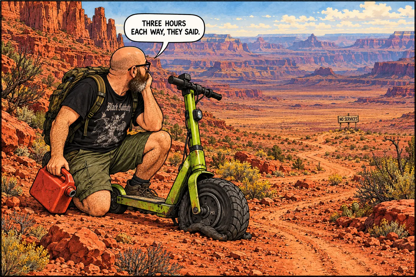
Not every remote road in the park is closed — Tuweep, at the park’s far northwestern corner, is technically open to anyone with a permit and a full tank of gas. But “open” undersells it: the only ways in are three unpaved routes outside the park boundary, running roughly 56 to 90 miles depending on which one you take, and NPS’s own visitor guidance recommends budgeting three-plus hours of driving time one way. There’s no water, fuel, food, lodging, wifi, or cell service once you arrive, and the ranger station near the overlook is staffed only intermittently. The one hard rule the compendium adds on top of all that: don’t drive the roads when they’re muddy. Given how far Tuweep sits from help, it’s less a restriction than a warning label that happens to carry the force of federal regulation.
For the park’s full restricted-site inventory, see what’s actually off-limits at the Grand Canyon and why.
Sources
- Grand Canyon National Park Superintendent's Compendium, effective June 16, 2026 — National Park Service
- The Scenic and Historic Hermit Road — National Park Service
- Tuweep/Toroweap — National Park Service
- South Entrance Road, HAER No. AZ-45 (Grand Canyon Route 412) — Historic American Engineering Record / National Park Service