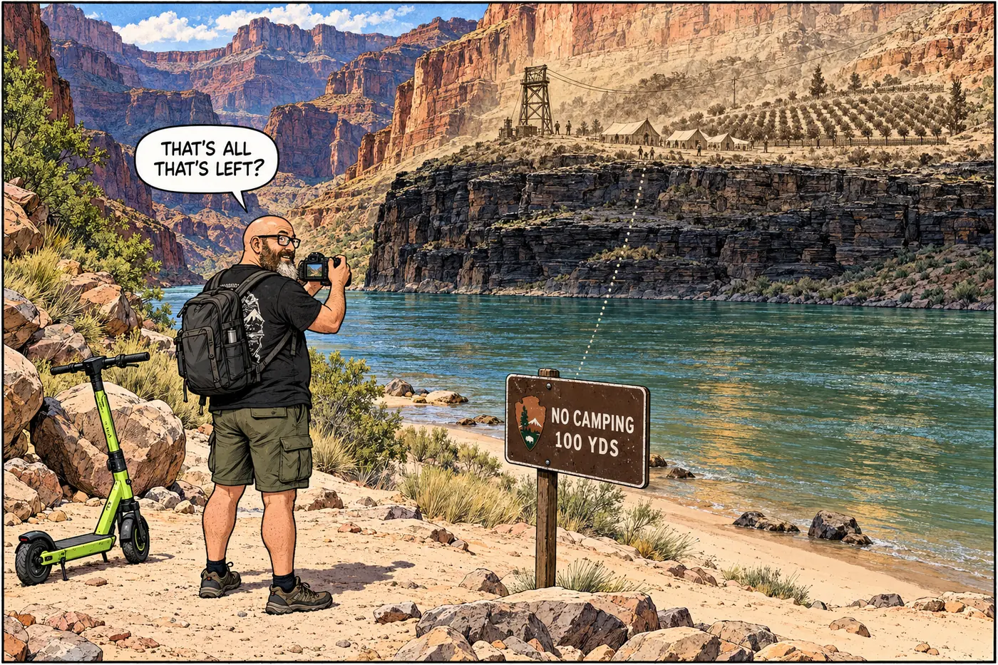
Shinumo Creek gets one sentence in the current closure rulebook: no camping within 100 yards of where it meets the Colorado. The creek's real story is a rusting cable line sixty feet above the river, an orchard planted in ditches somebody dug centuries before Arizona was a state, and a Cold War-adjacent Park Service crew that finally tore the whole crossing down in 1937.
The short version
- The Superintendent’s Compendium bans camping within 100 yards of the Shinumo Creek / Colorado River confluence, River Mile 109.2 — a narrow, specific setback, not a full closure.
- Long before that rule existed, Shinumo Creek was the anchor of pioneer William Wallace Bass’s inner-canyon operation: a tent camp, garden, and orchard on the river’s north side.
- Bass strung a cable crossing over the Colorado there to link his South and North Bass Trails — completing, by most accounts, the first rim-to-rim trail system in the canyon.
- A U.S. Geological Survey photograph confirms the cable crossing existed by 1908; NPS records list it as dismantled in 1937.
- Bass’s garden grew in ditches Native American farmers had already dug at the site, next to cliff dwellings and granaries — the creek was doing double duty as an agricultural resource for a very long time before 1900.
- What’s on the ground today, per the Grand Canyon Historical Society, is ruins: stacked stones, cable strands cemented into schist, and scattered household and mining implements — no working crossing, no functioning camp.
What the current rule actually says
The Superintendent’s Compendium — the park’s standing rulebook, reissued June 16, 2026 — handles Shinumo Creek in its river-trip permit section, in a list of restrictions “generally listed sequentially by river mile.” The Shinumo entry is short: “Camping is prohibited within 100 yards upstream or downstream of the confluence of Shinumo Creek and the Colorado River (River Mile 109.2).” That’s it. No stated reason, no habitat citation, no cultural-resource language — just a river-mile marker and a hard number. It sits between the Hance-to-Pipe-Creek exchange-camp rule upstream and the Bass Mine asbestos closure just a couple of river miles downstream, in company with the rest of this project’s river-corridor entries: Elves Chasm, Tapeats Creek, and the rest of the project overview.
A 100-yard camping setback at a creek mouth is a common shape for these rules — it keeps boat traffic from trampling the same narrow strip of vegetation and beach every night rather than closing the whole drainage. It’s a much lighter touch than the total closures this project has already documented at places like Elves Chasm or the Hopi Salt Mines — Shinumo Creek isn’t fenced off, it’s just not a campsite.
The Bass operation
The rule exists at a spot that used to be a lot busier. William Wallace Bass started his Grand Canyon camp in 1884 — tents on wood floors, with a big circus tent doubling as the mess hall — and over the following decades built something like 50 miles of trail and nearly 150 miles of road in the area, running stage service from the rail towns of Williams and Ash Fork out to his settlement. He built the South Bass Trail down to the river in the 1890s, then in 1899-1901 pushed a northern extension — originally called the Shinumo Trail, now known as the North Bass Trail — up the far side to the North Rim. Bass wasn’t cutting entirely new ground; he improved on older Indigenous routes and on paths a prospector named White had already worked in the 1860s and ’70s. Completing that northern leg gave the Grand Canyon its first rim-to-rim trail system, and Shinumo Creek sat right at the hinge point.
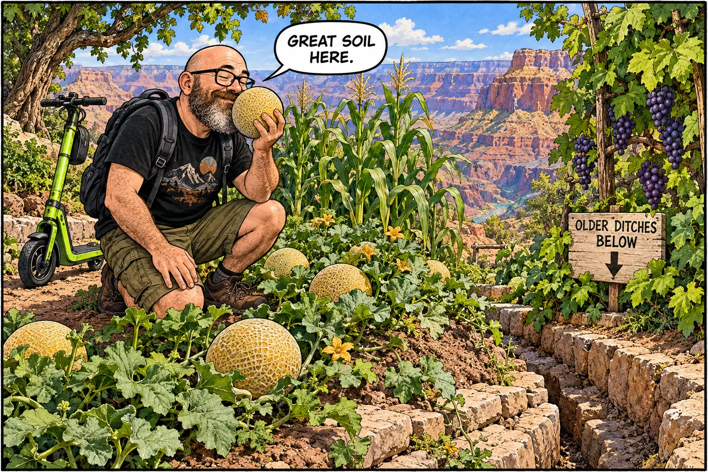
On the creek’s north bank, Bass ran a real operation, not just a waypoint: a stone fireplace, a red sandstone slab set on rock supports as a table, and gardens growing melons, cantaloupes, grapes, onions, corn, squash, and beans, plus an orchard. None of that was planted on virgin ground — the site sat on irrigation ditches Native American farmers had dug long before Bass arrived, next to cliff dwellings and granaries. Household implements and mining tools from the Bass era are still scattered roughly a mile north of the river today, according to the Grand Canyon Historical Society’s site history.
The cable crossing
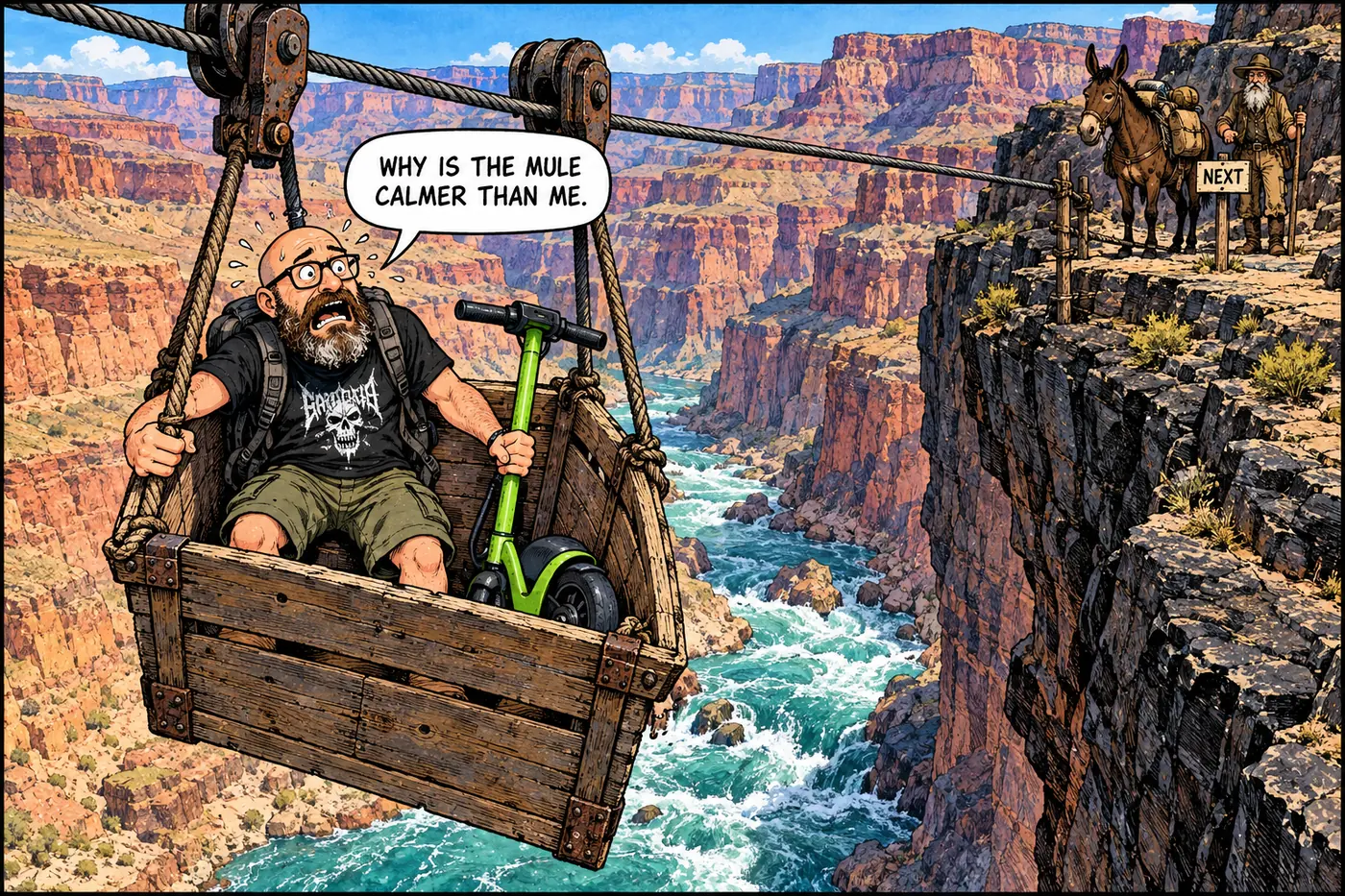
Getting between the two halves of a rim-to-rim trail meant getting across the Colorado, and Bass’s answer was a cable tramway. The north terminus sat on a schist ledge nearly 60 vertical feet above the river; the landing area — stacked stones, cable strands cemented directly into the rock, and other ruins — marks where Bass used to bring his ferry in on a broad sandy beach. It wasn’t a rumor or a later embellishment: a U.S. Geological Survey photograph titled “Cable crossing, looking down the Colorado River, Grand Canyon National Park, Arizona,” shot in 1908 by USGS geologist Levi Fatzinger Noble, was published as Plate XIII-A in USGS Bulletin 549 in 1914 — independent federal documentation that the crossing existed and was standing well enough to photograph by 1908.
The crossing didn’t last as a working structure. Bass sold his canyon holdings in 1926 to the Santa Fe Land and Improvement Company, died in 1933, and what remained of his property passed to the Fred Harvey Company in 1935 for $25,000. The National Park Service is recorded as having dismantled the cable structure itself in 1937 — by which point Bass’s operation had already been out of his hands for over a decade.
William Wallace Bass sets up his first Grand Canyon camp — tents on wood floors, a circus tent for meals.
Bass builds the southern leg of his trail down to the Colorado River.
Bass pushes a northern route up from the river to the North Rim, completing what's counted as the canyon's first rim-to-rim trail system.
USGS geologist Levi Fatzinger Noble photographs the cable crossing over the Colorado near Shinumo Creek; published in USGS Bulletin 549 (1914).
Bass sells his canyon holdings to the Santa Fe Land and Improvement Company.
What's left passes to the Fred Harvey Company for $25,000.
NPS records list the cable crossing as taken down.
What’s actually off-limits (and why)
There’s no fenced closure at Shinumo Creek the way there is at, say, Orphan Mine or the Hopi Salt Mines. The compendium’s only rule is the 100-yard no-camping setback at the confluence — a resource-protection measure for the beach and streambank, not a public-safety fence around a hazard. The Bass camp ruins and cable-crossing remnants aren’t separately named in the current compendium’s closure list, though they sit within a park that generally protects historic and archaeological sites under the same 36 CFR § 1.5 authority documented across this project (see What Is Actually Off-Limits at the Grand Canyon, and Why?). Nothing in the record fetched for this page claims coordinates, a marked trail, or public access instructions to the ruins themselves, and none are given here.
What’s left at Shinumo Creek today is a quiet setback rule protecting a beach that used to be a small farm, a river crossing, and — for about a decade — the busiest hinge point in the only rim-to-rim trail the Grand Canyon had.
Sources
- Grand Canyon National Park Superintendent's Compendium, effective June 16, 2026 — National Park Service
- North Bass Trail — Nature, Culture and History at the Grand Canyon (Grand Canyon Historical Society)
- Cable crossing, looking down the Colorado River, Grand Canyon National Park, Arizona (1908) — U.S. Geological Survey ScienceBase Catalog, Noble Collection
- William Wallace Bass — "Sublimity & Spectacle," Cline Library Special Collections, Northern Arizona University