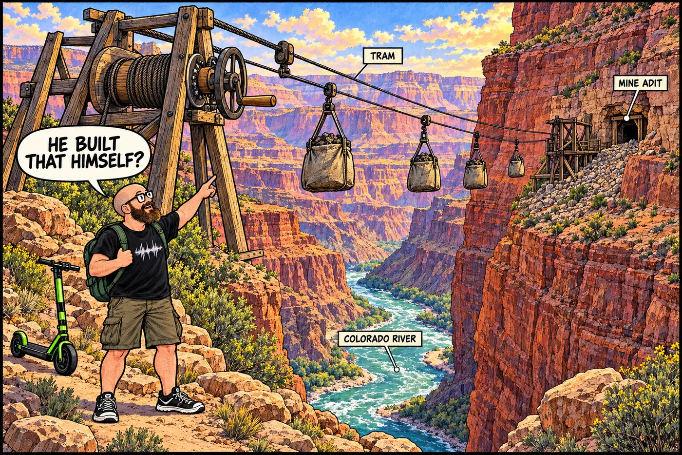
Cutaway illustration of a cable tram strung across the Colorado River at Hakatai Canyon, carrying sacks of asbestos ore toward a small mine opening in a side canyon wall

Bass Asbestos Mine: William Bass's trail-and-tram asbestos claim

A trail-builder’s side-hustle asbestos claim in Hakatai Canyon, sold for wartime prices in 1917-1918, now a 500-foot no-entry buffer in the park’s rulebook.
September 23, 2026 · 7 min · 1366 words · Justin
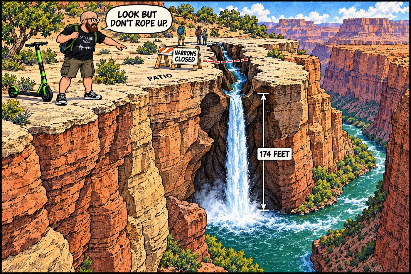
Labeled cutaway illustration of Deer Creek dropping from the Patio ledge through the narrow slot canyon called the Narrows to Deer Creek Falls and the Colorado River below

Deer Creek: Why the Narrows Are Closed to Climbing and Rappelling

A river-mile 136.9 waterfall hike stays open, but the slot canyon below it is closed by federal rule to protect a site the Kaibab Band of Paiute Indians calls sacred.
September 23, 2026 · 7 min · 1378 words · Justin
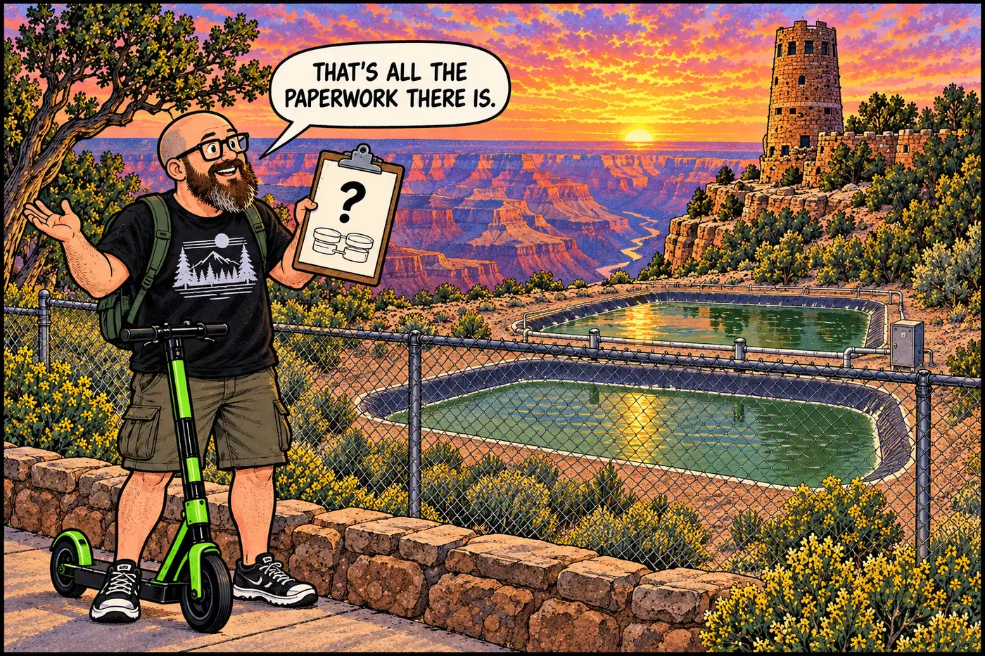
Illustration of the HOST standing at a chain-link fence looking at a small wastewater lagoon facility near the Desert View Watchtower with a mostly blank labeled diagram

Desert View Wastewater System — What's Actually on the Record

A fenced lagoon plant off Cedar Mountain Road is the least-documented wastewater site in the park. Here’s exactly what is and isn’t public.
September 23, 2026 · 5 min · 1037 words · Justin
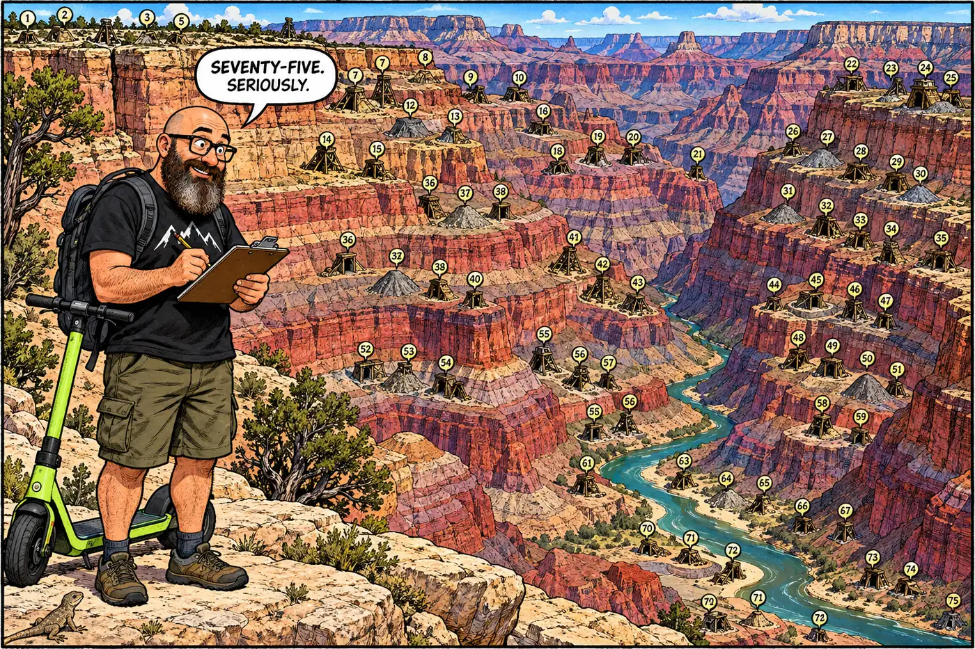
Illustrated map-style cutaway of the Grand Canyon showing scattered small icons for mine adits, shafts, and tailings piles across the rim and inner canyon

Grand Canyon's mine inventory: 38 sites, 75 features, by the numbers

NPS has counted 75 abandoned mine features across 38 sites in the park, part of a 37,050-feature nationwide problem. Here’s the public accounting.
September 23, 2026 · 8 min · 1613 words · Justin
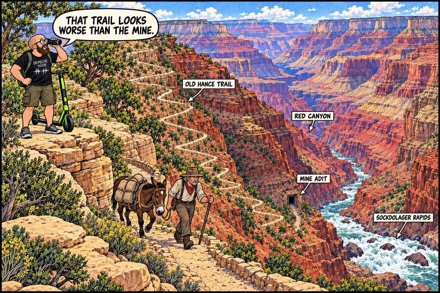
Cutaway illustration of a rugged switchback trail descending toward a small asbestos mine adit near a roaring rapid on the Colorado River

Hance Mine: the asbestos claim behind the canyon's first tour guide

John Hance mined asbestos near Sockdolager Rapids, sold out in 1901, and became famous for storytelling instead. The river corridor there is now a hard closure.
September 23, 2026 · 7 min · 1441 words · Justin
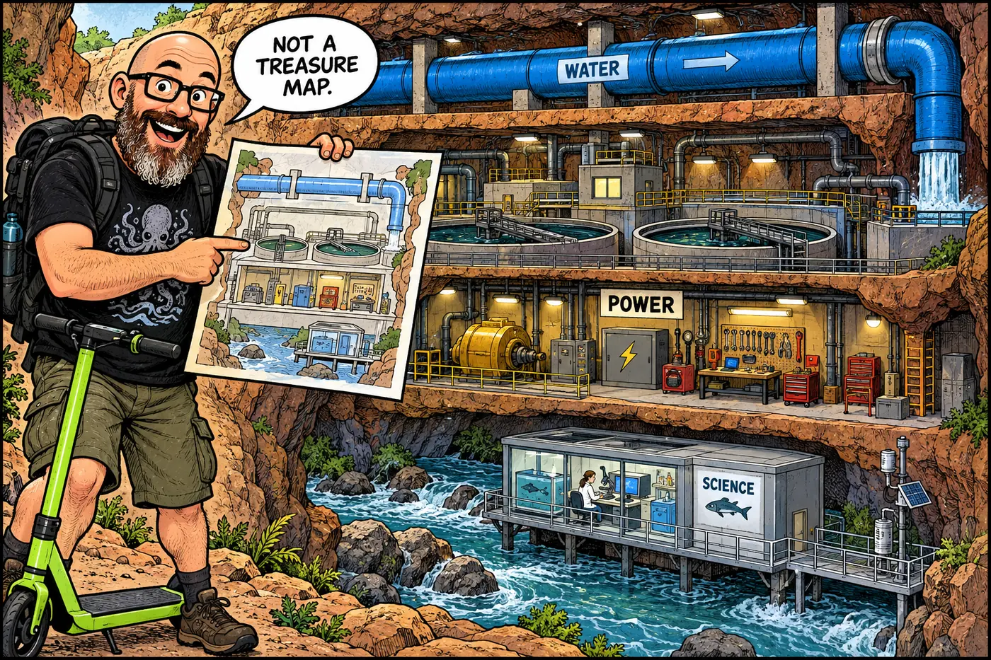
Illustrated cross-section of canyon infrastructure, with pumps, a treatment plant and monitoring gear shown schematically

Hidden Infrastructure of the Grand Canyon: The Working Park

A source-checked guide to the canyon’s water, power, communications, mines, protected places, river rules and working government sites, without a locator map.
September 23, 2026 · 8 min · 1624 words · Justin
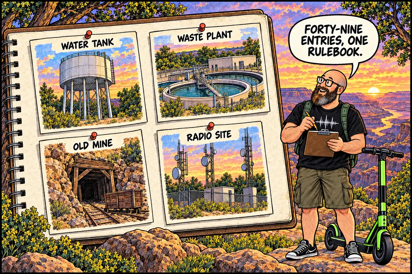
Cutaway illustrated map-style panel showing labeled fenced compound icons for a wastewater plant, a water tank, a mine gate, and a repeater tower arranged like index cards over a stylized canyon rim, no real coordinates shown

The Full Catalog: Every NPS Closure in the 2026 Compendium

All 49 numbered closures from Grand Canyon’s official compendium, organized by district with the stated reason and CFR citation for each.
September 23, 2026 · 7 min · 1439 words · Justin
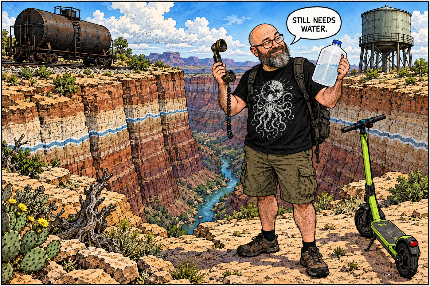
Illustrated century-spanning cutaway of canyon bridges, water pipes and a distant railroad, with no precise map locations

Timeline: 100+ Years of Grand Canyon Infrastructure

From rail tank cars and one-call phone lines to mine cleanup and the 2026 water emergency: a dated guide to the systems behind the scenery.

September 23, 2026 · 7 min · 1436 words · Justin