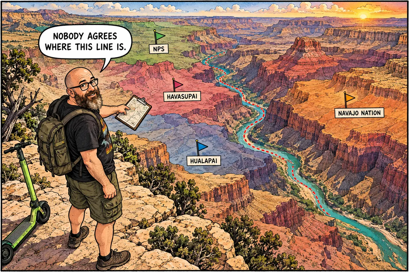
Tribal vs. NPS Jurisdiction at Grand Canyon: How the Map Works
Eleven tribes border or hold rights inside the park, and two boundary lines — Hualapai and Navajo — are still legally disputed with NPS.
Eleven tribes border or hold rights inside the park, and two boundary lines — Hualapai and Navajo — are still legally disputed with NPS.
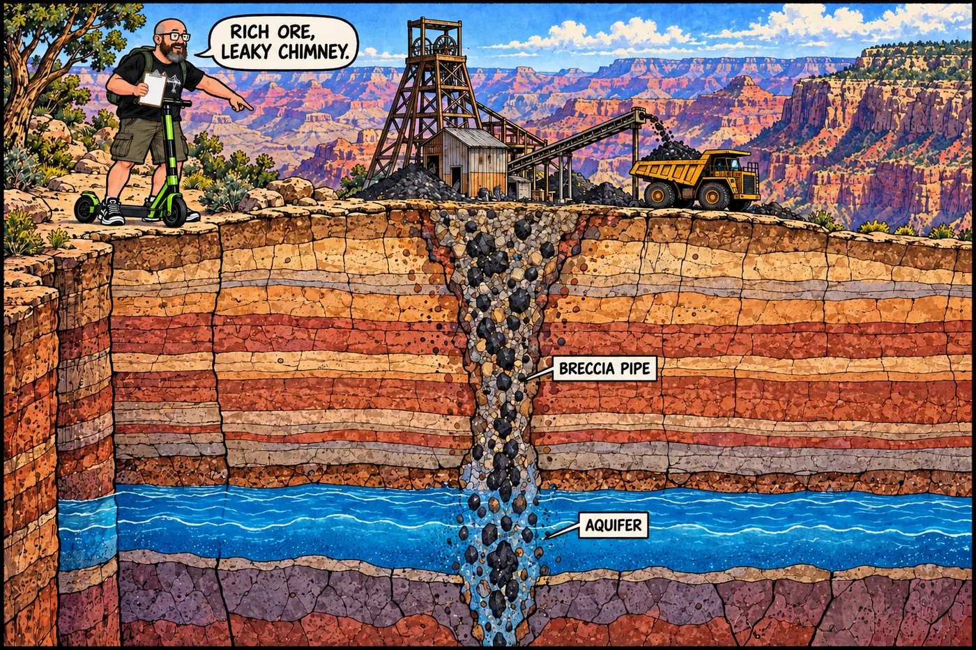
How uranium in Grand Canyon breccia pipes led to a 2012 mining withdrawal, a 2023 tribal-backed national monument, and Pinyon Plain Mine, still pumping and mining ore in 2026.
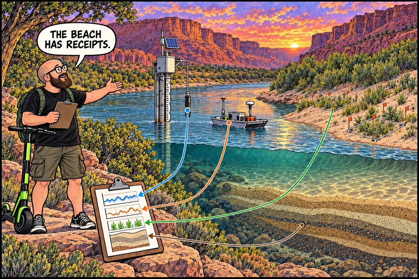
Gages, sediment samplers, sandbar surveys and plant plots measure how dam operations and tributary floods change the Colorado River.
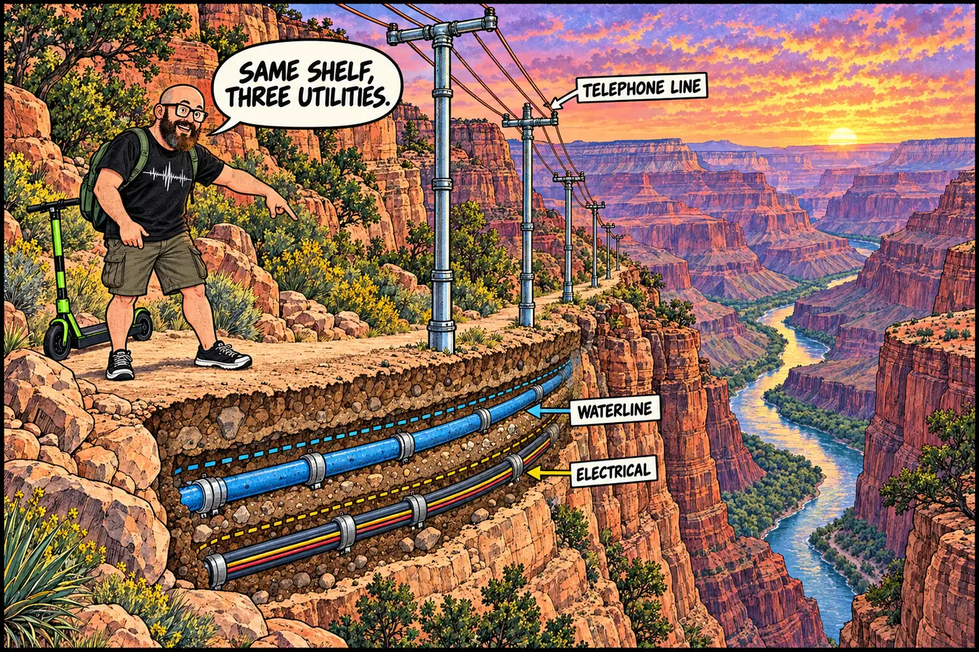
There’s no secret tunnel network. There is a 1926 buried power cable, a phone line made of pipe, and a shared trail-side corridor a century old.
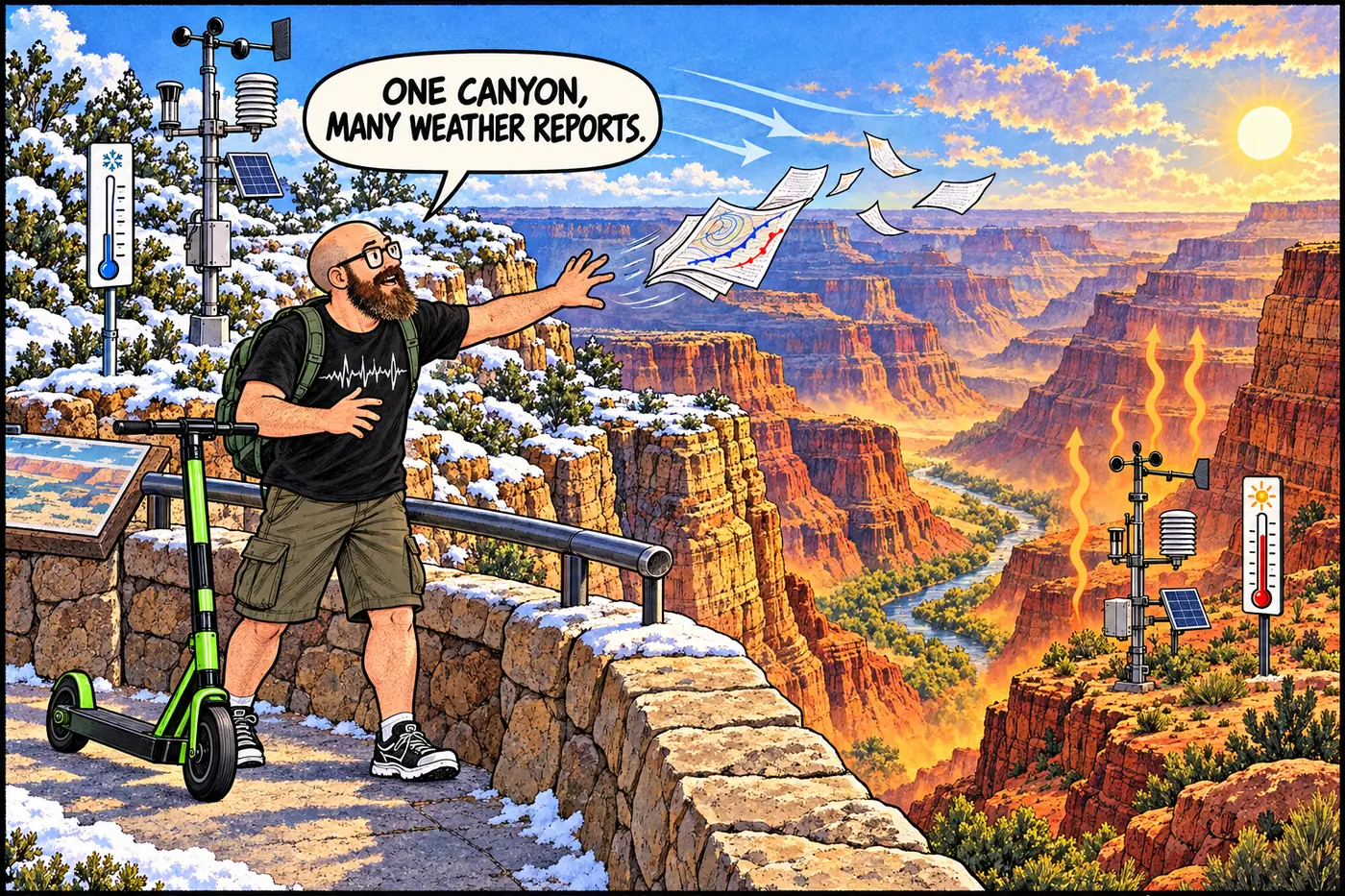
Rim weather, river-corridor research stations and air monitors tell different stories. Historical station counts and missing data are not a live canyon-wide sensor map.
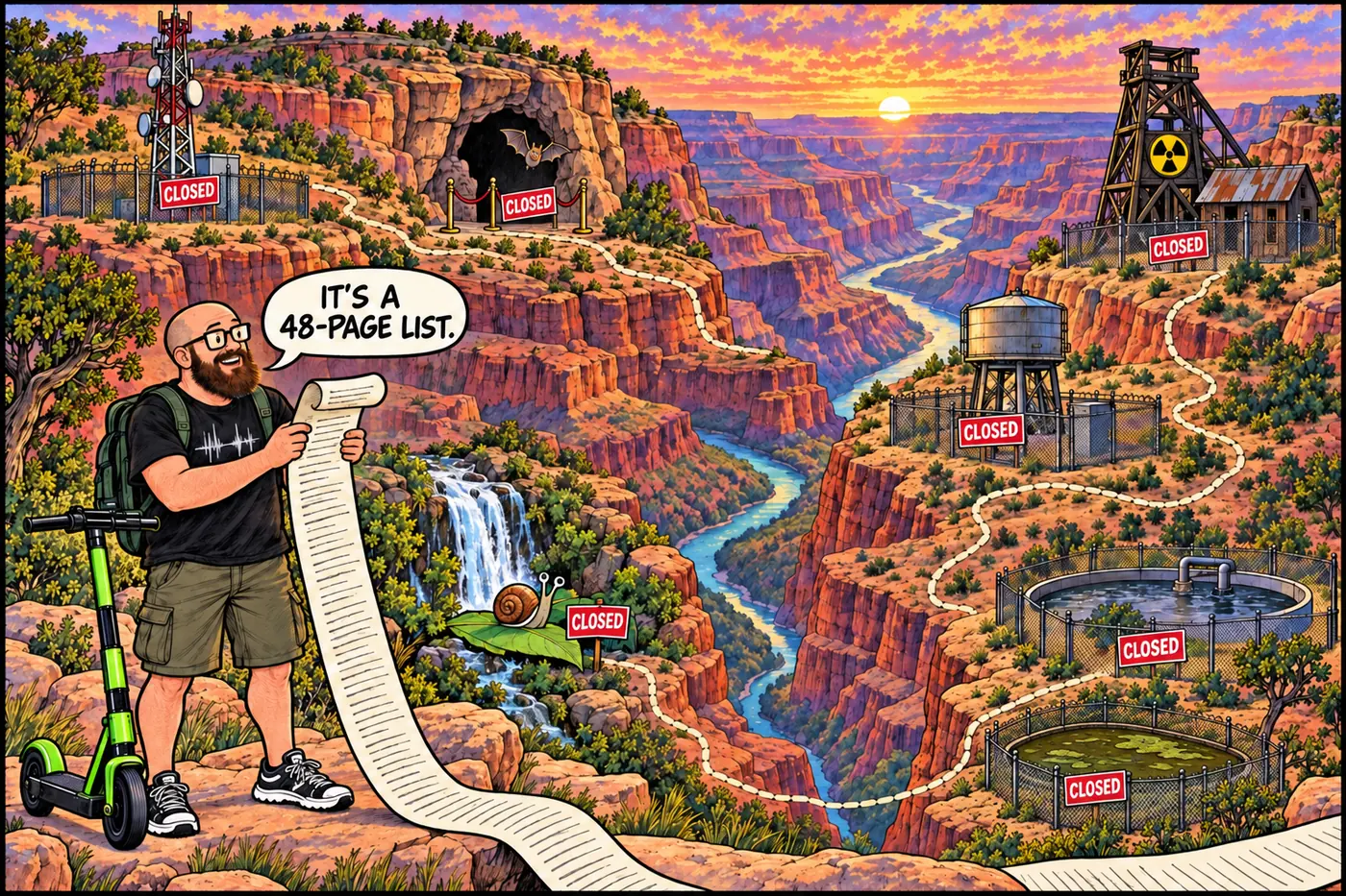
The Grand Canyon publishes a 48-page list of places you can’t go. Uranium, asbestos, bats, a snail, sewage lagoons, tribal land, and zero Egyptian cities: here’s what’s closed and the legal reason why.
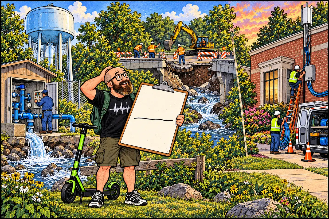
Tribal governments near the Grand Canyon manage distinct village services. Supai’s water system, Hualapai public works and Hopi utility projects are not park infrastructure.
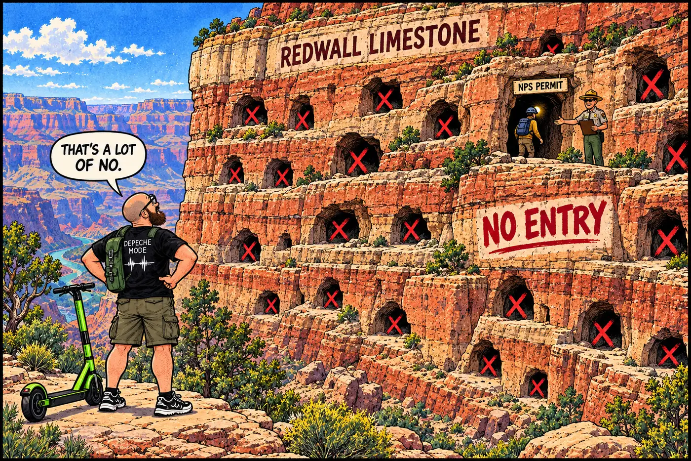
A 1988 federal law makes cave locations confidential; the park’s own rule goes further and requires a permit just to walk in.
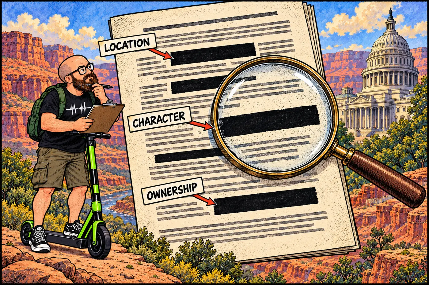
The federal laws — ARPA, NHPA Section 304, NAGPRA — that make withholding site details legal, not evasive.
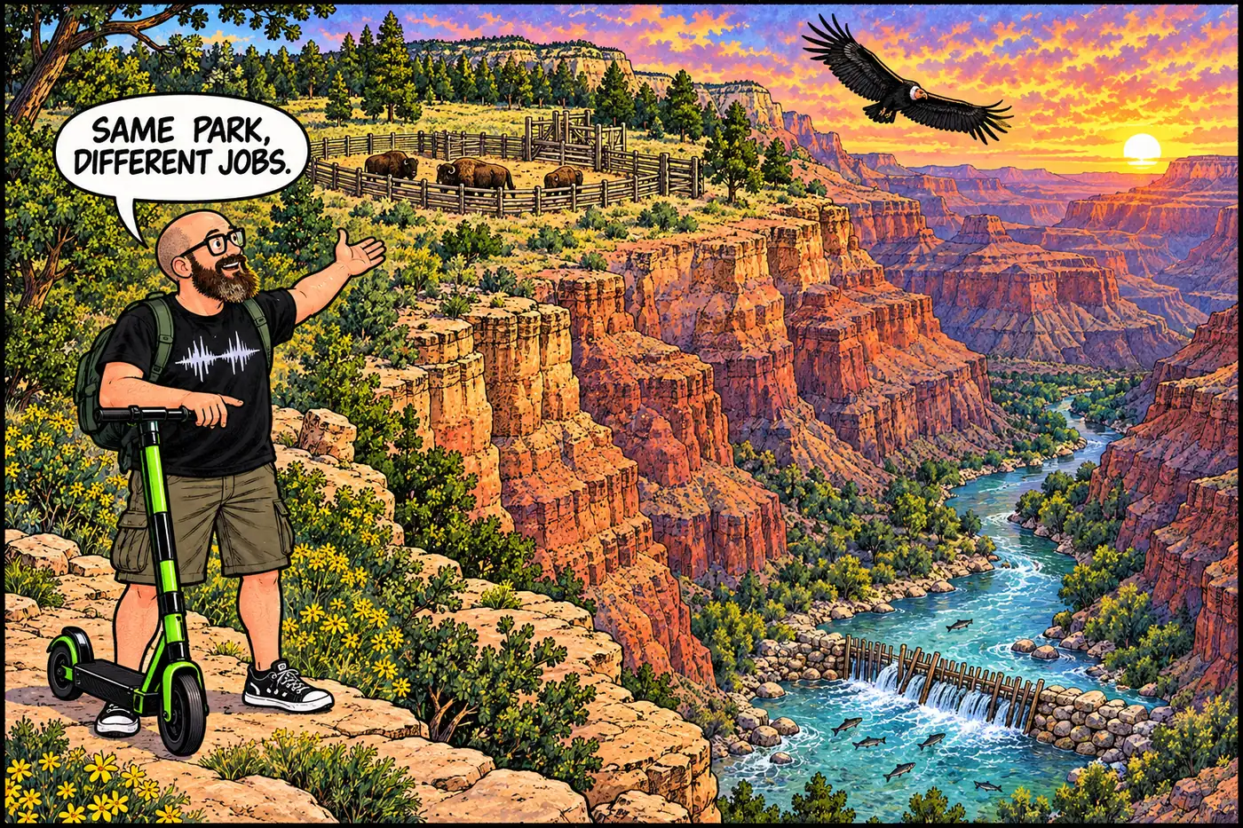
How Grand Canyon managers use bison corrals, fish weirs and research exclosures—and why the regional condor release pen is outside the park.