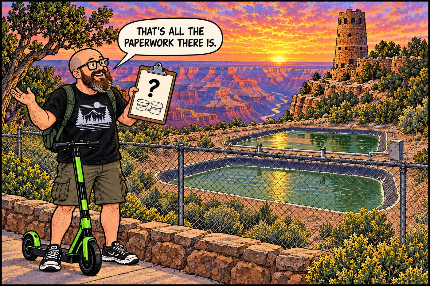
Desert View Wastewater System — What's Actually on the Record
A fenced lagoon plant off Cedar Mountain Road is the least-documented wastewater site in the park. Here’s exactly what is and isn’t public.
A fenced lagoon plant off Cedar Mountain Road is the least-documented wastewater site in the park. Here’s exactly what is and isn’t public.
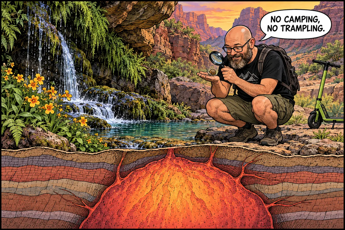
Elves Chasm has a camping closure, protected wetland plants, a snail delisted for taxonomy rather than recovery, and some of the canyon’s oldest rock.
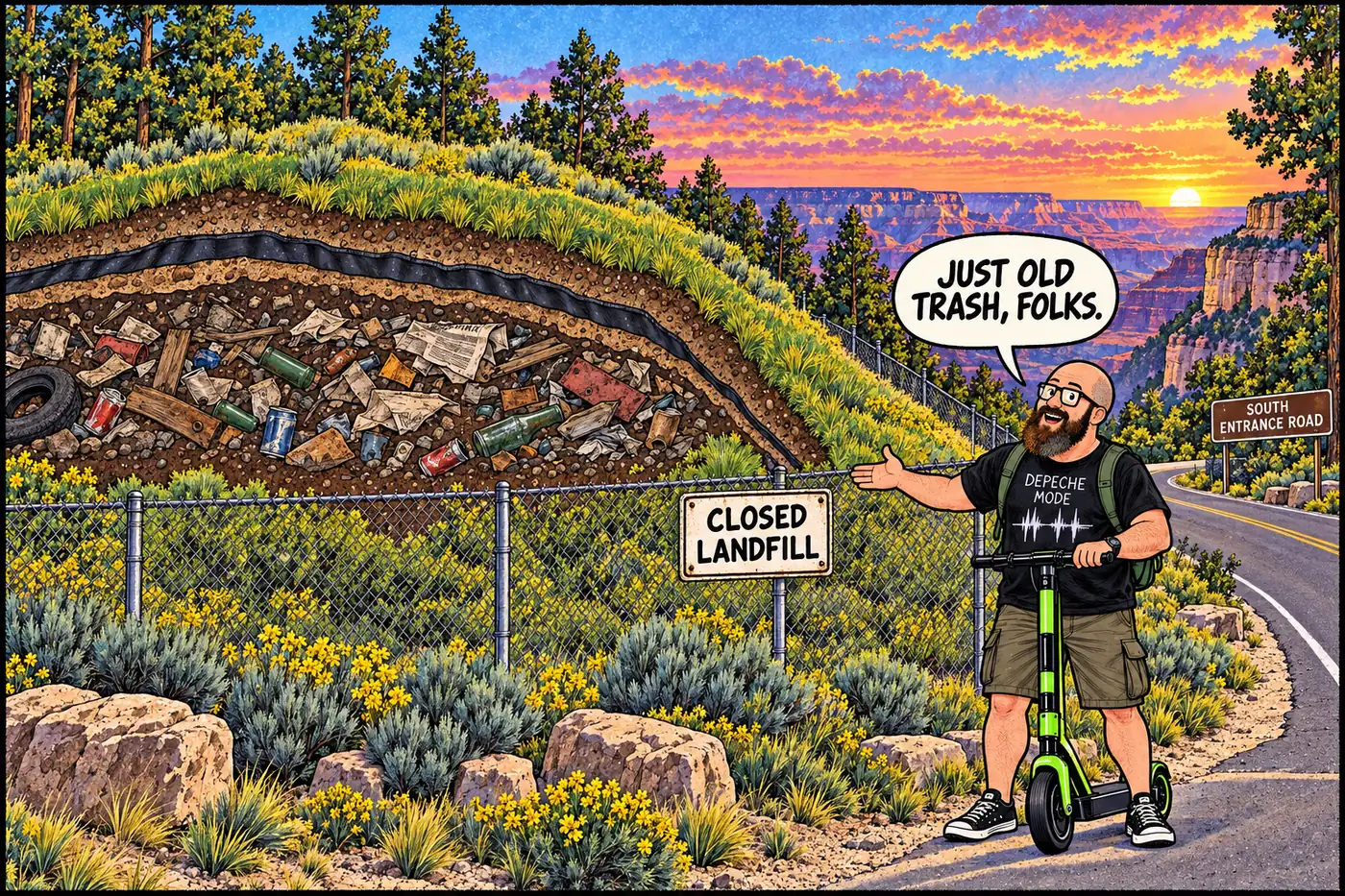
A closed South Rim landfill traces back to open dumps and a 1926 railroad-funded incinerator, not a Superfund emergency.
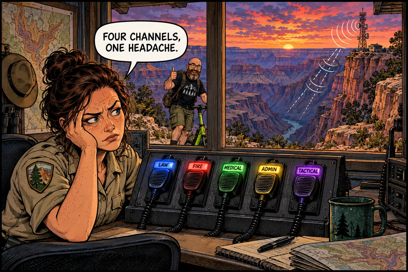
Law Enforcement, Fire, Medical, Administrative, and a tactical channel — the radio structure behind roughly 300 rescues a year.
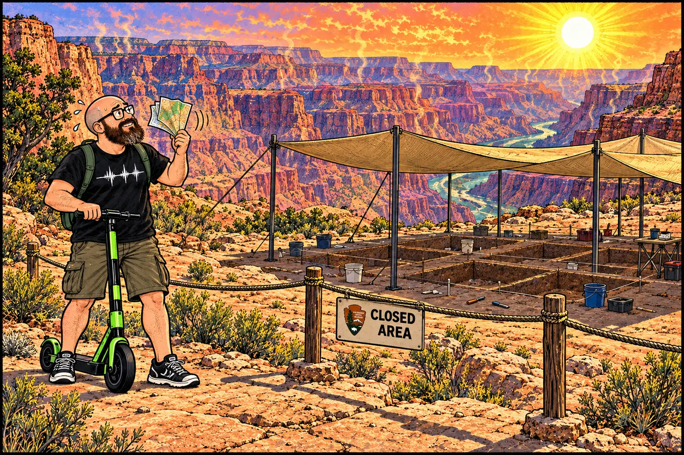
A federally closed cultural site with almost no public detail beyond the closure order itself, and what a 2007 dig actually documented there.
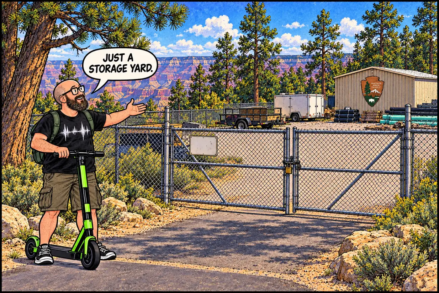
The park’s closure list names exactly one general government storage site, South Gate. Here’s what the public record says about it and what it doesn’t.
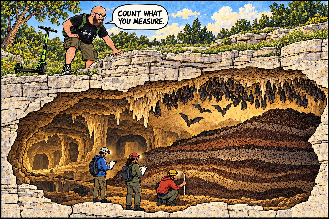
Rampart’s Ice Age fossils, Stanton’s collections, growing Leandras and Double Bopper surveys, and what cave biology and park rules actually establish.
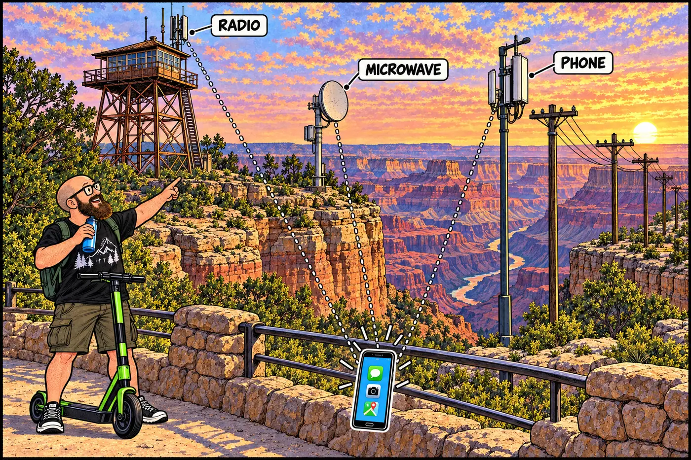
Overview map linking Grand Canyon’s radio, cellular, microwave, telephone, fiber, dispatch, and aviation-comms dossiers into one picture.
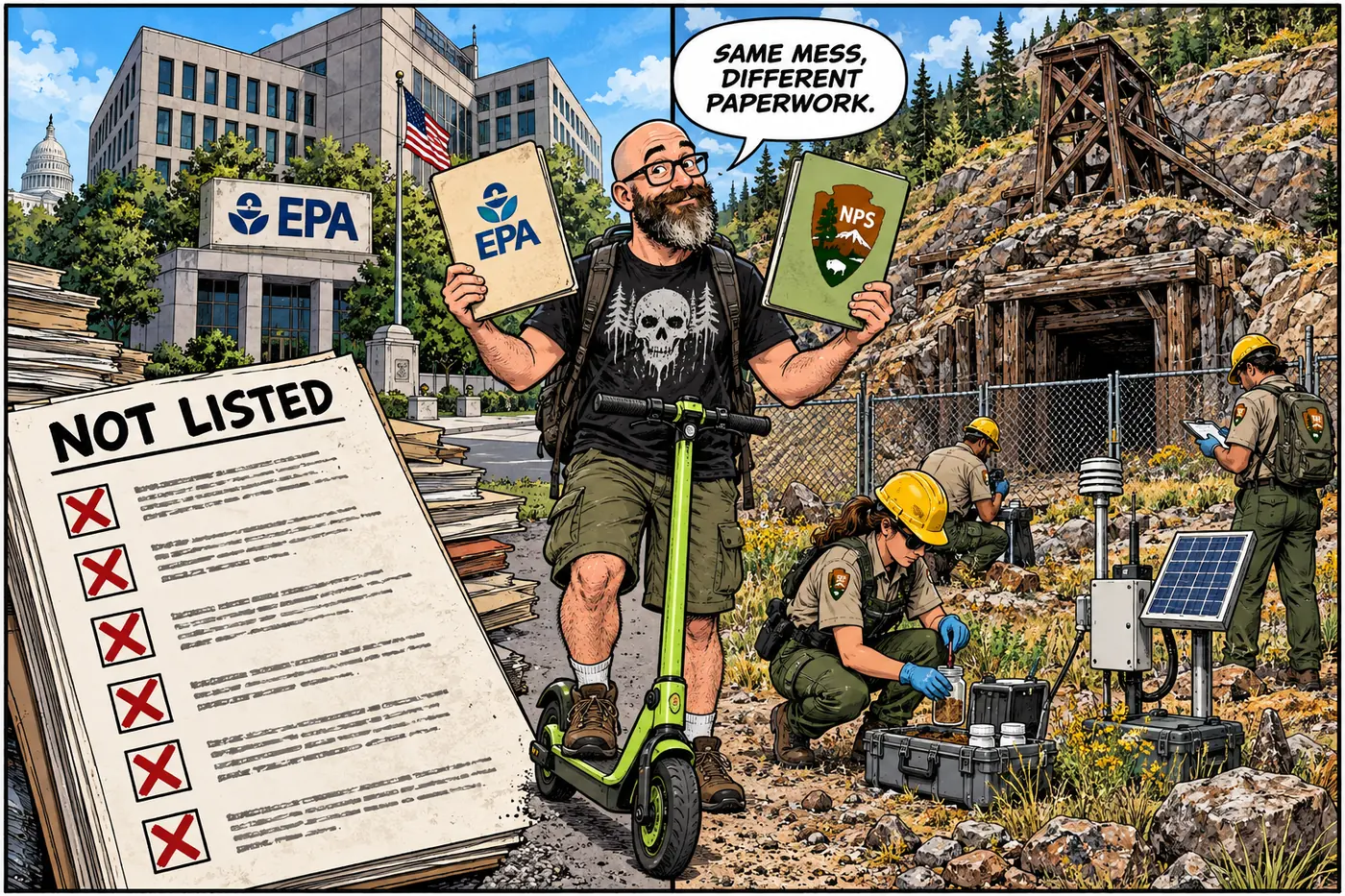
None of Grand Canyon’s mine, landfill, or wastewater sites are on the federal Superfund or Arizona state cleanup lists. Here is who runs the cleanups instead.

A 1909 cave myth meets the park’s actual closure rules for caves, mines, cultural resources and working facilities. What is closed, and why?