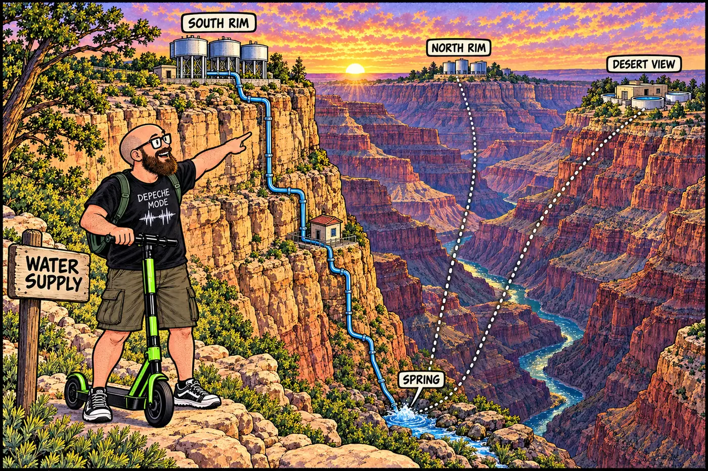
Grand Canyon's Water System: Sourcing, Treatment, Distribution
How Grand Canyon National Park sources, treats, stores, and delivers water and wastewater across all four rim and inner-canyon developed areas.
How Grand Canyon National Park sources, treats, stores, and delivers water and wastewater across all four rim and inner-canyon developed areas.
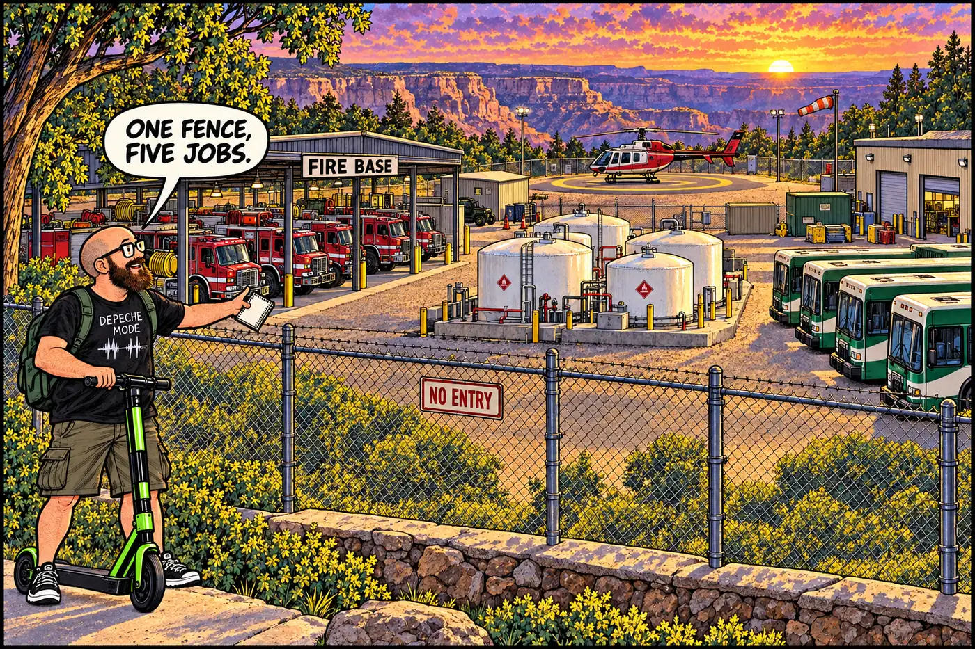
A fenced South Rim compound houses the park’s fire base, fuel yard, and shuttle barn — and why it’s closed, from the fire program to Dragon Bravo.
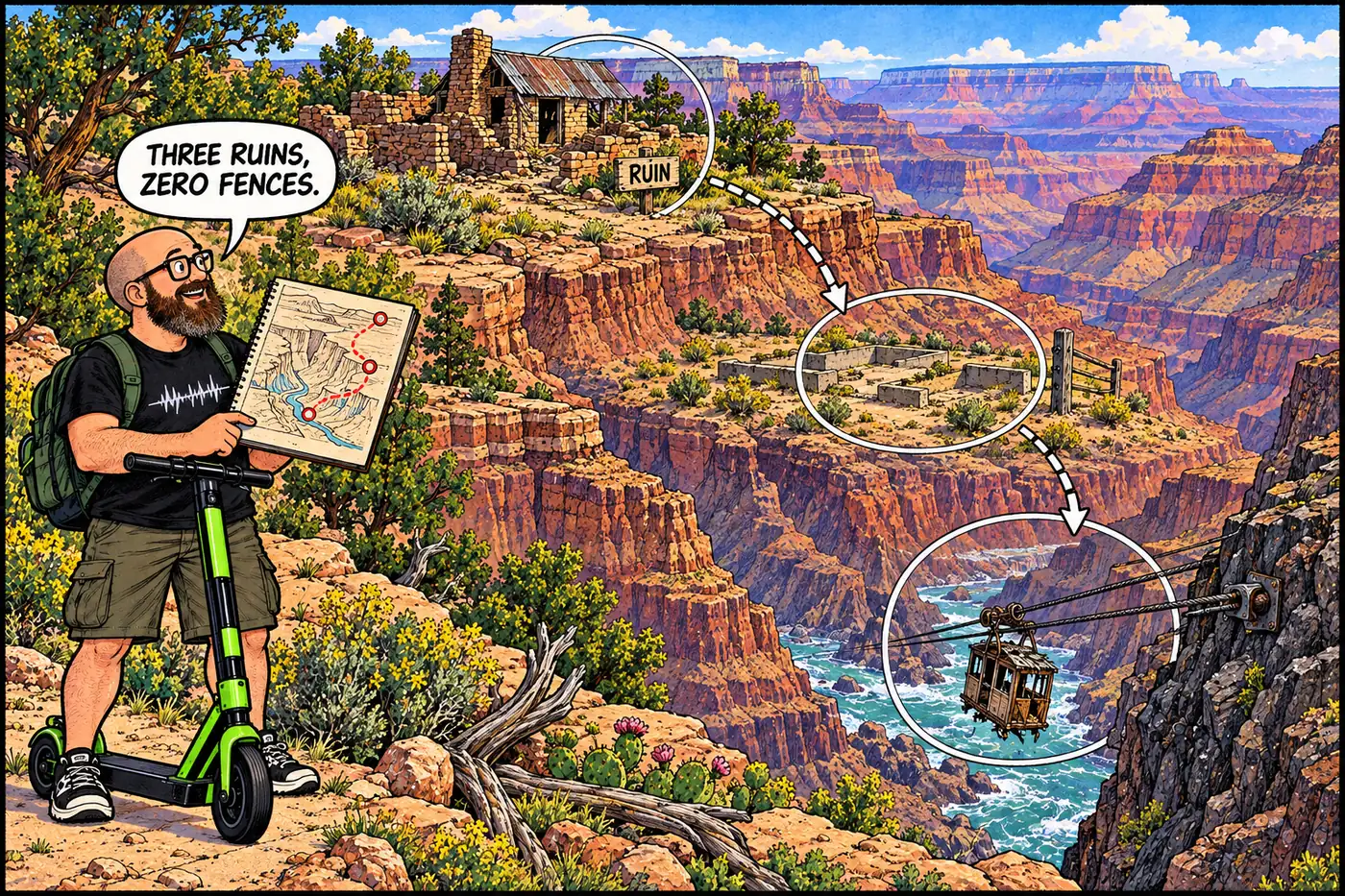
A mine, a burned-down luxury camp, and a pioneer’s river-crossing rigs — three documented ruin sites, none of them fenced, all protected by federal law.
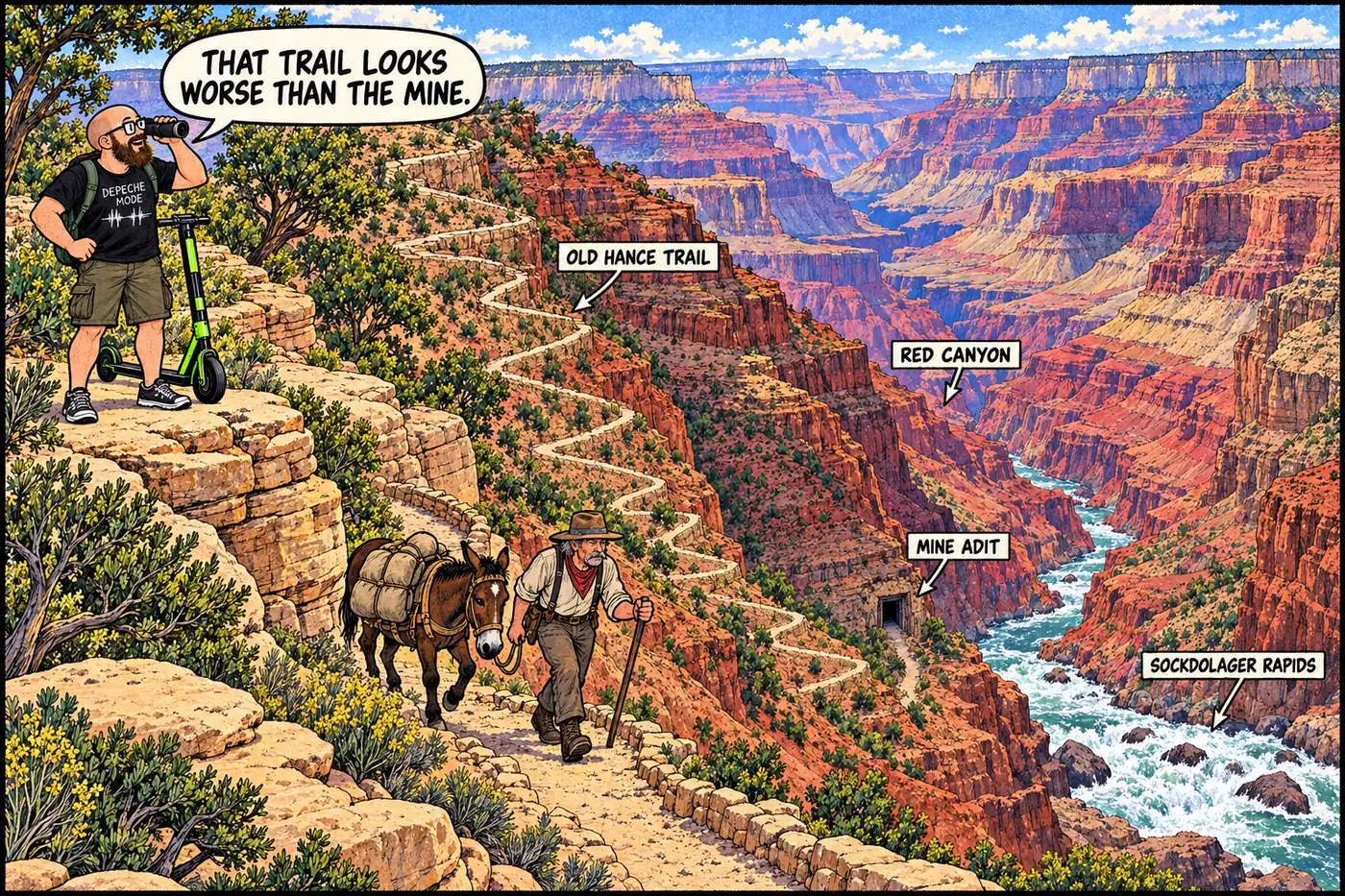
John Hance mined asbestos near Sockdolager Rapids, sold out in 1901, and became famous for storytelling instead. The river corridor there is now a hard closure.
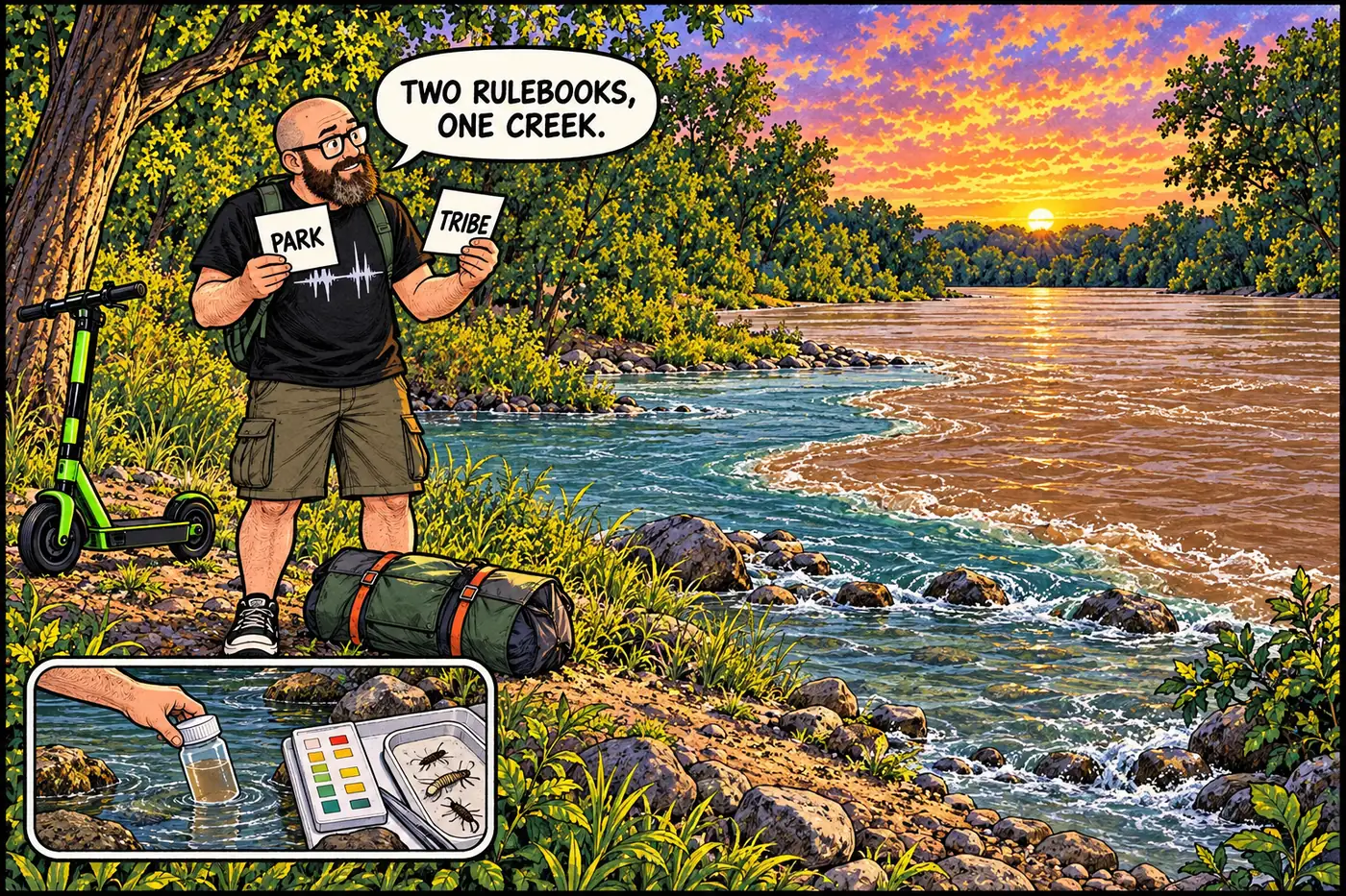
Havasu Creek is tribal homeland, a flood-prone tributary and a monitored river system. The park’s lower-creek camping rule is not a blanket visitation ban.
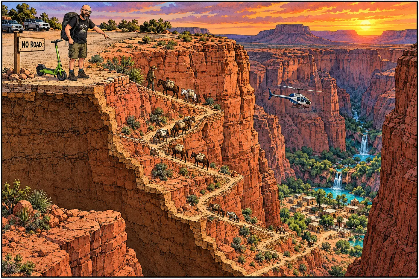
Supai village isn’t part of Grand Canyon National Park. It’s Havasupai tribal land, reached by an 8-mile trail, run on the Tribe’s own permits and infrastructure.
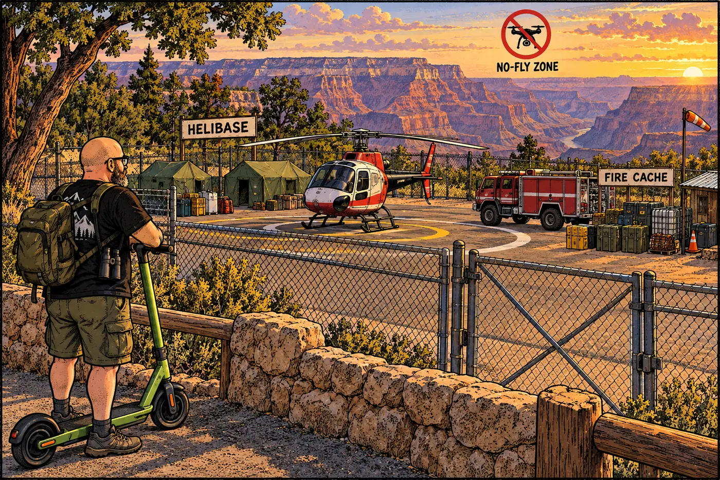
One named helistop, one fenced helibase, and a federal flight-free zone dating to two mid-air disasters. Where the canyon’s helicopters are actually allowed to land.
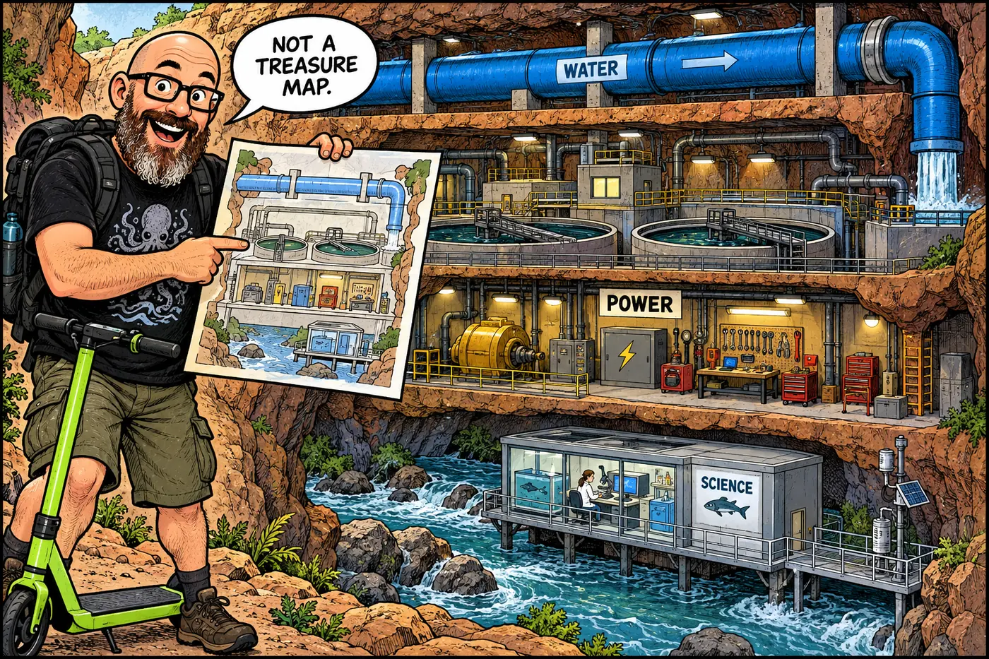
A source-checked guide to the canyon’s water, power, communications, mines, protected places, river rules and working government sites, without a locator map.
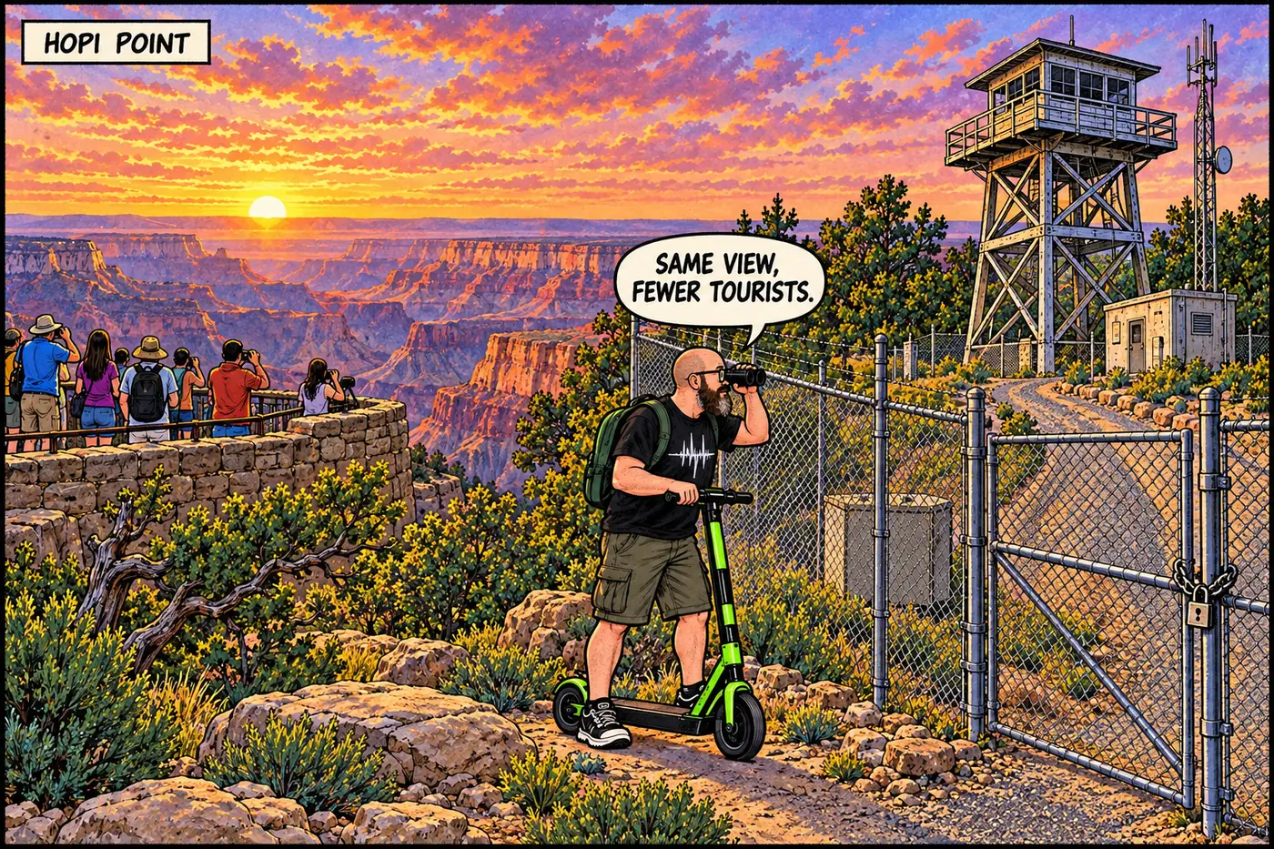
A tree-platform fire lookout from 1909 became one of the South Rim’s four primary radio sites — and it’s fenced off for exactly the reason NPS says.
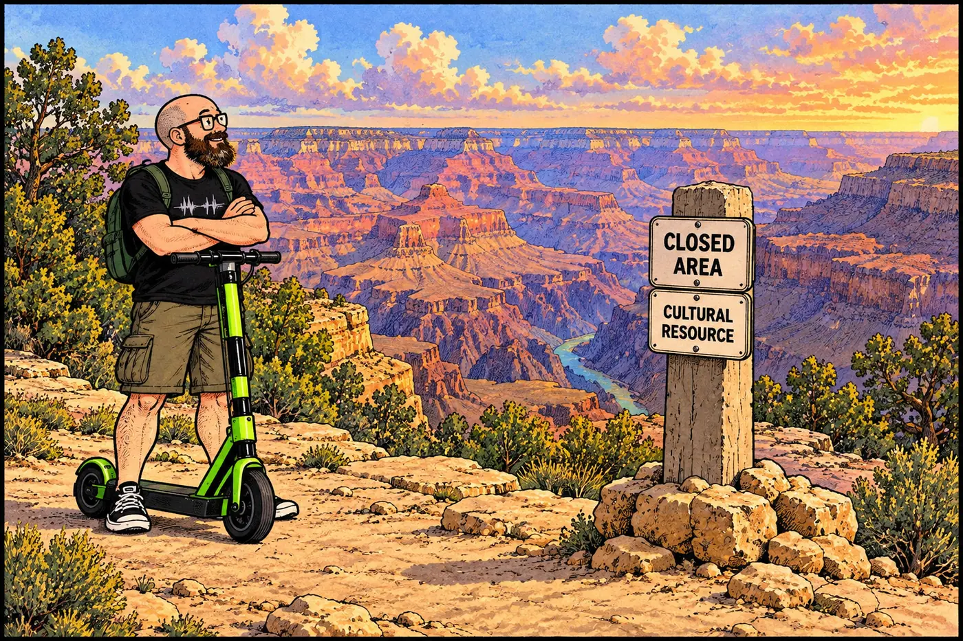
Why this site is closed in the tribe’s own public words, not NPS guesswork — cultural significance, a federal closure, nothing invented.