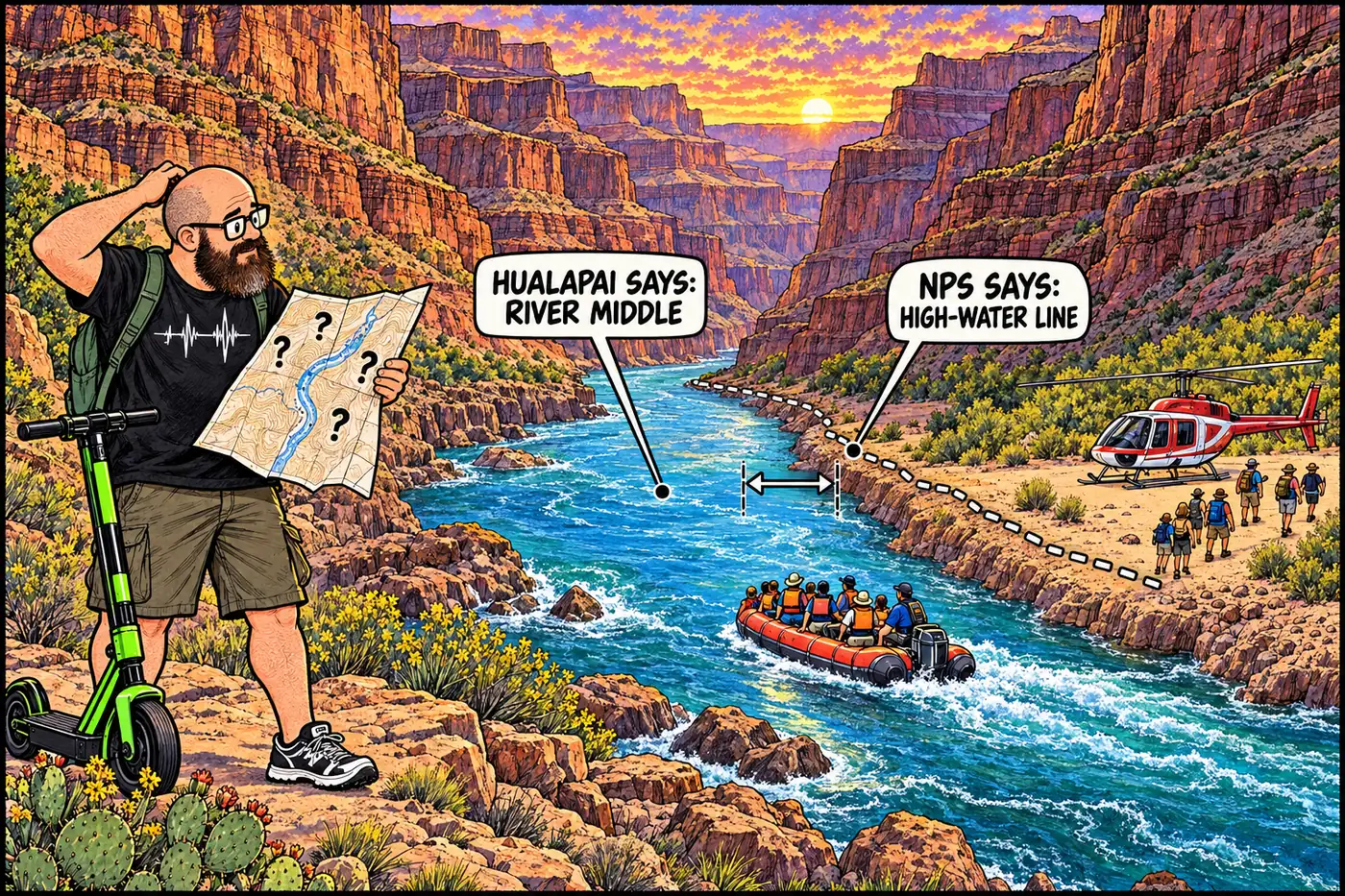
Cutaway illustration of the Colorado River gorge showing the disputed Hualapai reservation boundary line running along the south riverbank near a rafting exchange point

Hualapai Lands: The 108-Mile River Boundary Nobody Ever Settled

The Hualapai Tribe’s reservation runs 108 miles along the Colorado River, home to the Skywalk and a river boundary the NPS and the Tribe still don’t agree on.
September 23, 2026 · 8 min · 1645 words · Justin
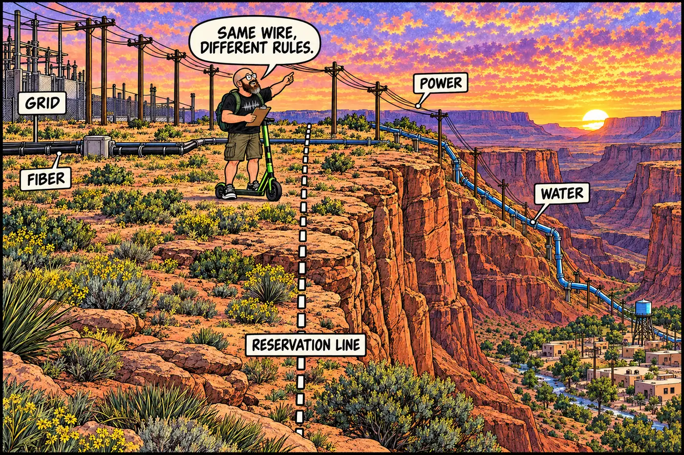
Labeled cutaway illustration of a power line and pipeline crossing from a canyon rim plateau down into tribal land, with a dotted jurisdiction line marking where federal land becomes reservation land

Infrastructure That Crosses Grand Canyon's Tribal-NPS Lines

The power line, fiber route, and planned water pipeline that cross from federal or tribal land onto Havasupai and Hualapai land to serve those communities.
September 23, 2026 · 9 min · 1738 words · Justin
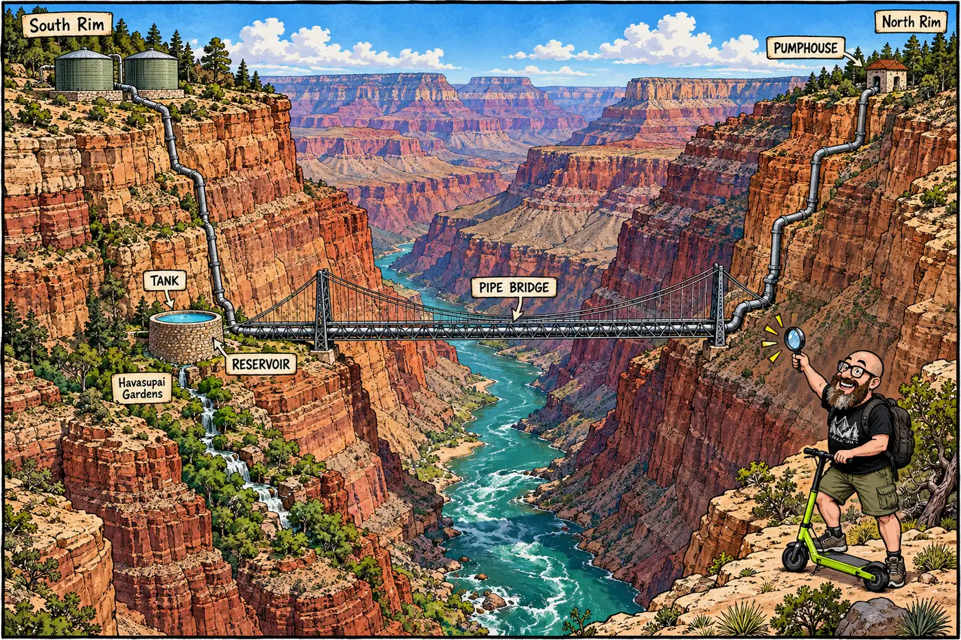
Labeled cutaway diagram of the inner canyon water system showing a reservoir tank, a pipe hidden inside a river bridge, and a pumphouse

Inner Canyon Water: Pipelines, Tanks, and a Bridge That Hides a Pipe

How water gets pumped and piped through the canyon corridor, from a 1932 railroad system to the $208M rebuild and the 2026 flash-flood damage.
September 23, 2026 · 9 min · 1902 words · Justin
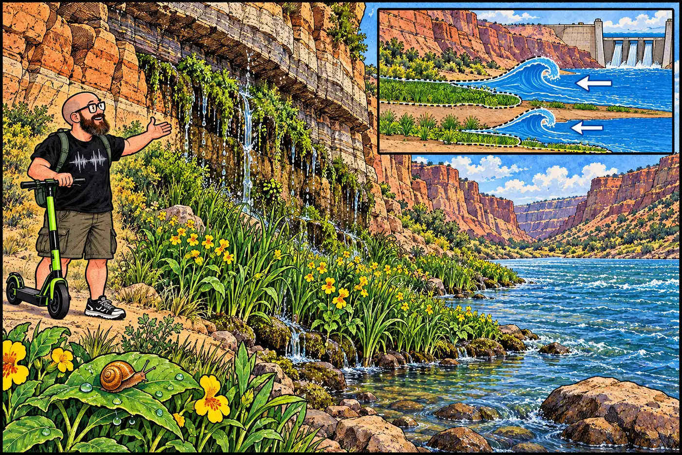
Illustrated spring-fed canyon wetland with a tiny amber snail above a changing river edge

Kanab ambersnail habitat: the flood and the delisting

A canyon spring snail shaped dam-flow decisions. Its 2021 federal delisting changed a taxonomic label, not the condition of its wetland habitat.
September 23, 2026 · 7 min · 1370 words · Justin
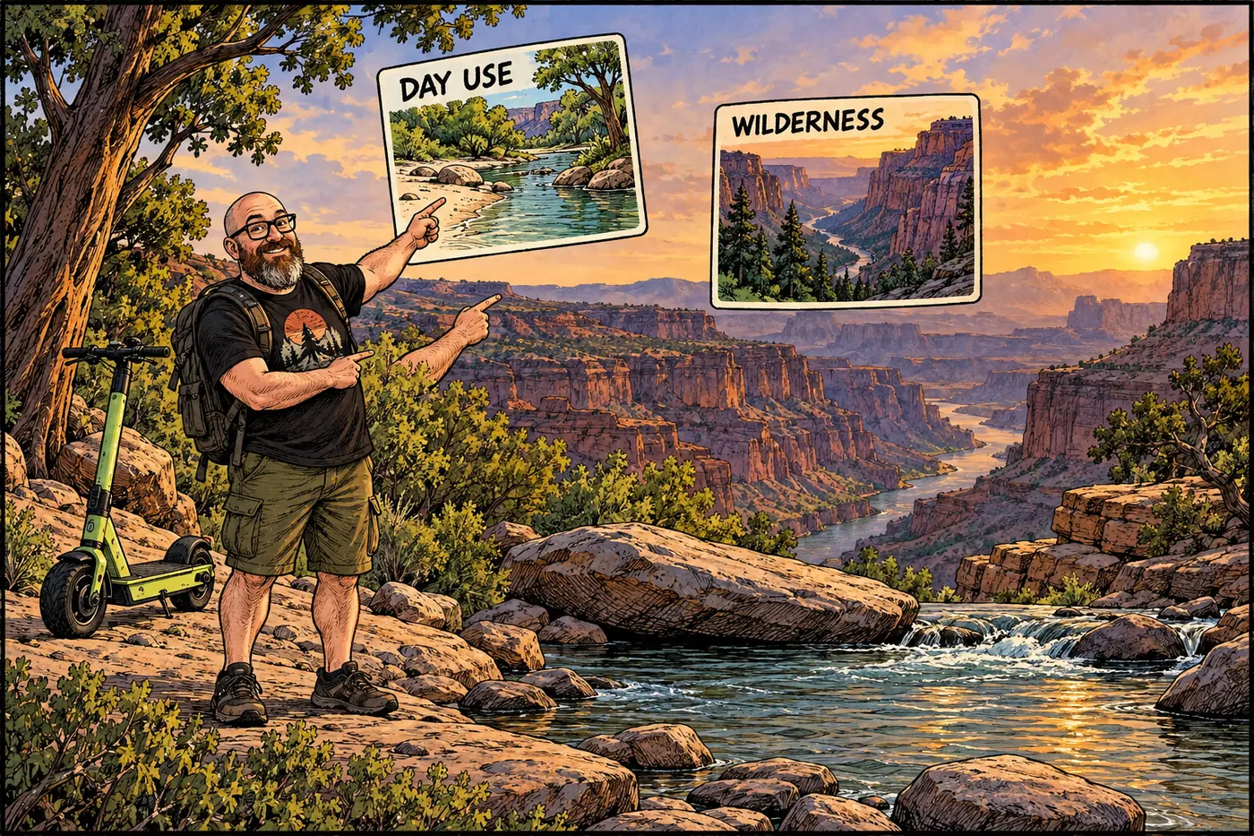
Illustrated canyon cutaway separating a daytime river stop from the broader Kanab Creek wilderness

Kanab Creek: Day Use at the River, Wilderness Beyond

Kanab Creek has a defined NPS river-trip camping restriction at its mouth and a separate BLM/Forest Service wilderness upstream. Here’s what each rule actually covers.
September 23, 2026 · 6 min · 1163 words · Justin
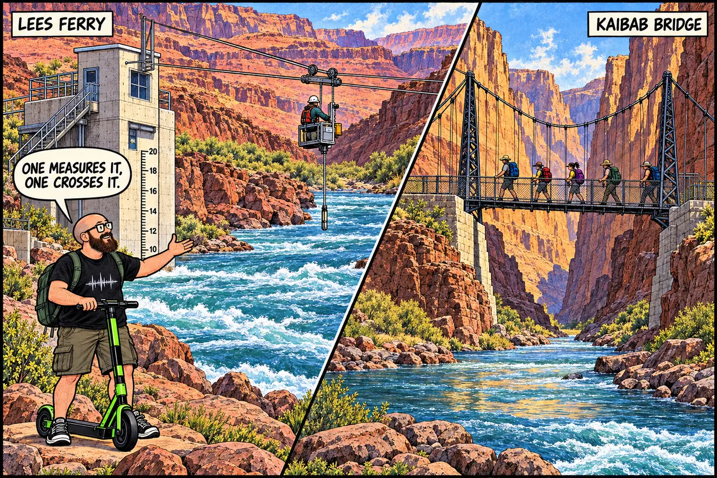
Labeled cutaway illustration of the Colorado River at Lees Ferry showing the USGS streamgage tower, its cableway, and the Kaibab Suspension Bridge downstream at river level

Lees Ferry, the gauge, and the bridges that run Grand Canyon's river

A 1921 streamgage sets interstate water law, and a bridge built by hand and Havasupai shoulders still carries the only foot crossing at river level.
September 23, 2026 · 9 min · 1723 words · Justin
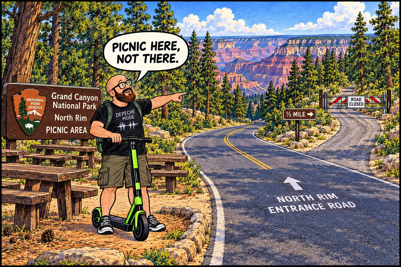
Labeled illustration of a road-closure gate and boundary posts on a forest side road near a picnic area sign on the North Rim

Lindbergh Hill Landfill: a closed North Rim dump, and an open question

A gated old landfill near the North Rim Entrance Road is well documented; the hill it’s named for, and why, is not.
September 23, 2026 · 7 min · 1331 words · Justin
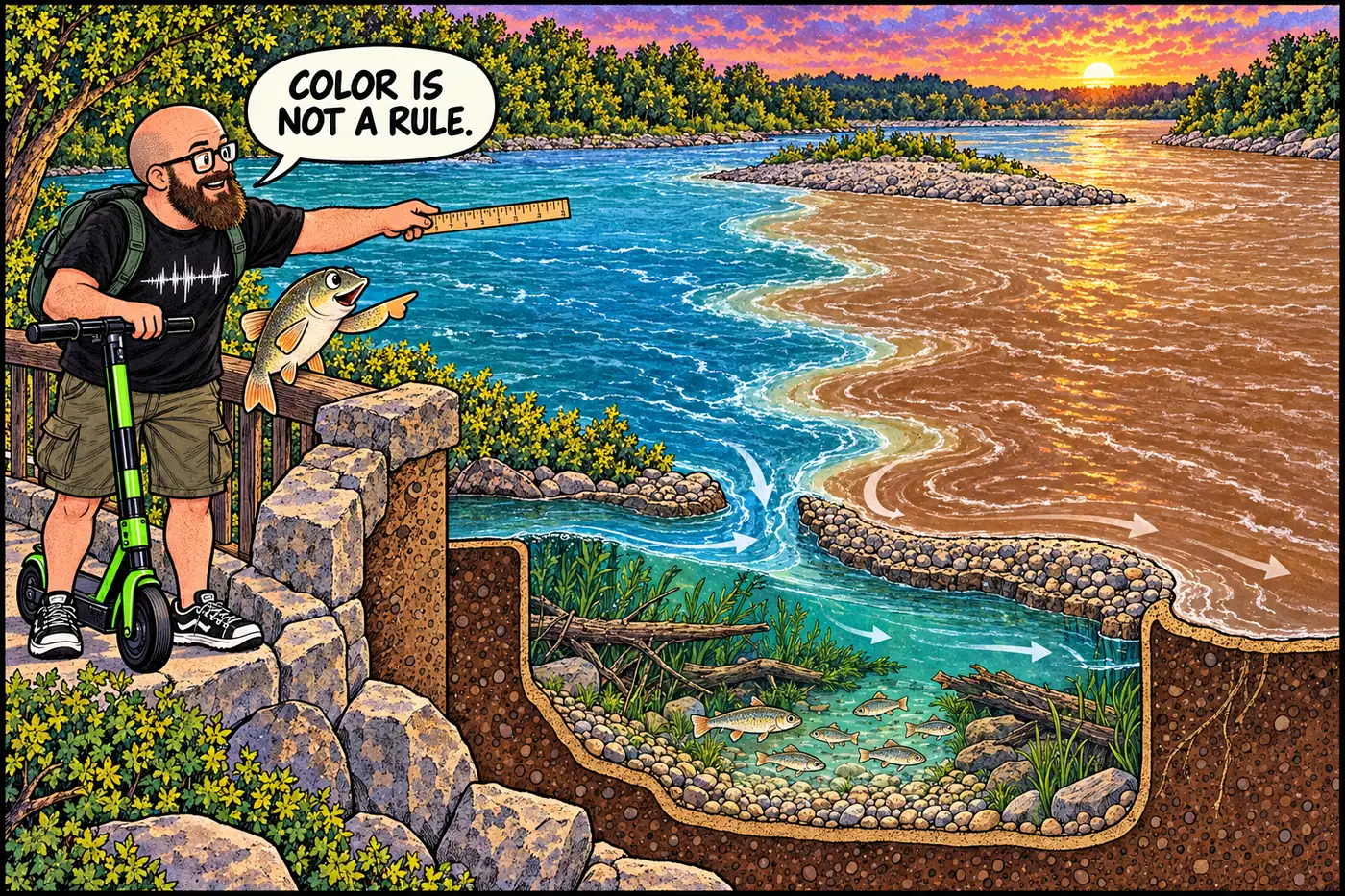
Comic cutaway of the two rivers joining, with a fish nursery beneath the water and the visible mixing line distinct from the river channel

Little Colorado River confluence: habitat, law and the mixing line

The Little Colorado confluence is chub habitat and a Navajo sacred site. Here’s what the park’s 2026 channel, wading and camping rules actually say.
September 23, 2026 · 6 min · 1138 words · Justin
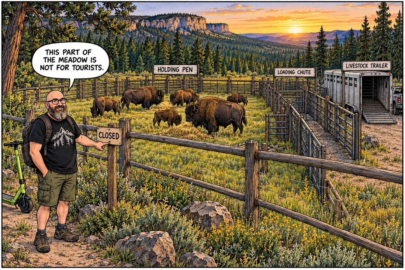
Labeled cutaway illustration of the Little Park bison capture corral showing fencing, a loading chute, and livestock trailers in a mountain meadow

Little Park: the North Rim's Bison Capture Corral

A closed North Rim meadow hides a livestock corral built to catch wild bison descended from a 1906 failed cattle-crossbreeding scheme.
September 23, 2026 · 8 min · 1595 words · Justin
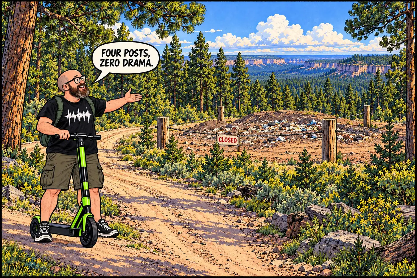
Labeled illustration of a forest fire road leading to four corner posts marking a closed landfill boundary on the North Rim plateau

Marble Flats Landfill: the North Rim's quiet, closed old dump

Off a fire road near the Widforss Trail, a small closed landfill traces the North Rim’s slow, late build-out of its own utilities.

September 23, 2026 · 6 min · 1209 words · Justin