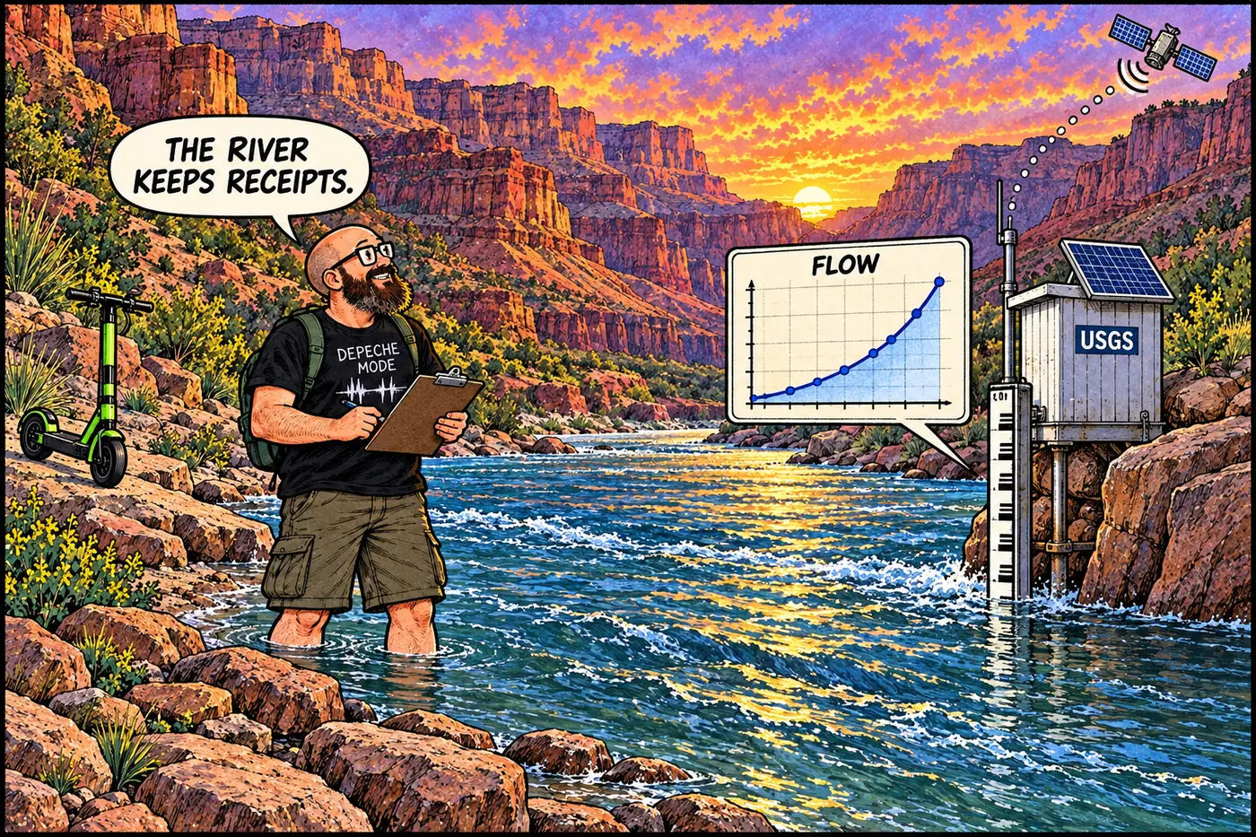
River Gauges: The Boxes That Watch the Colorado River
How USGS streamgages, sediment sensors, sandbar cameras, and flood alerts track the dam-controlled Colorado River.
How USGS streamgages, sediment sensors, sandbar cameras, and flood alerts track the dam-controlled Colorado River.
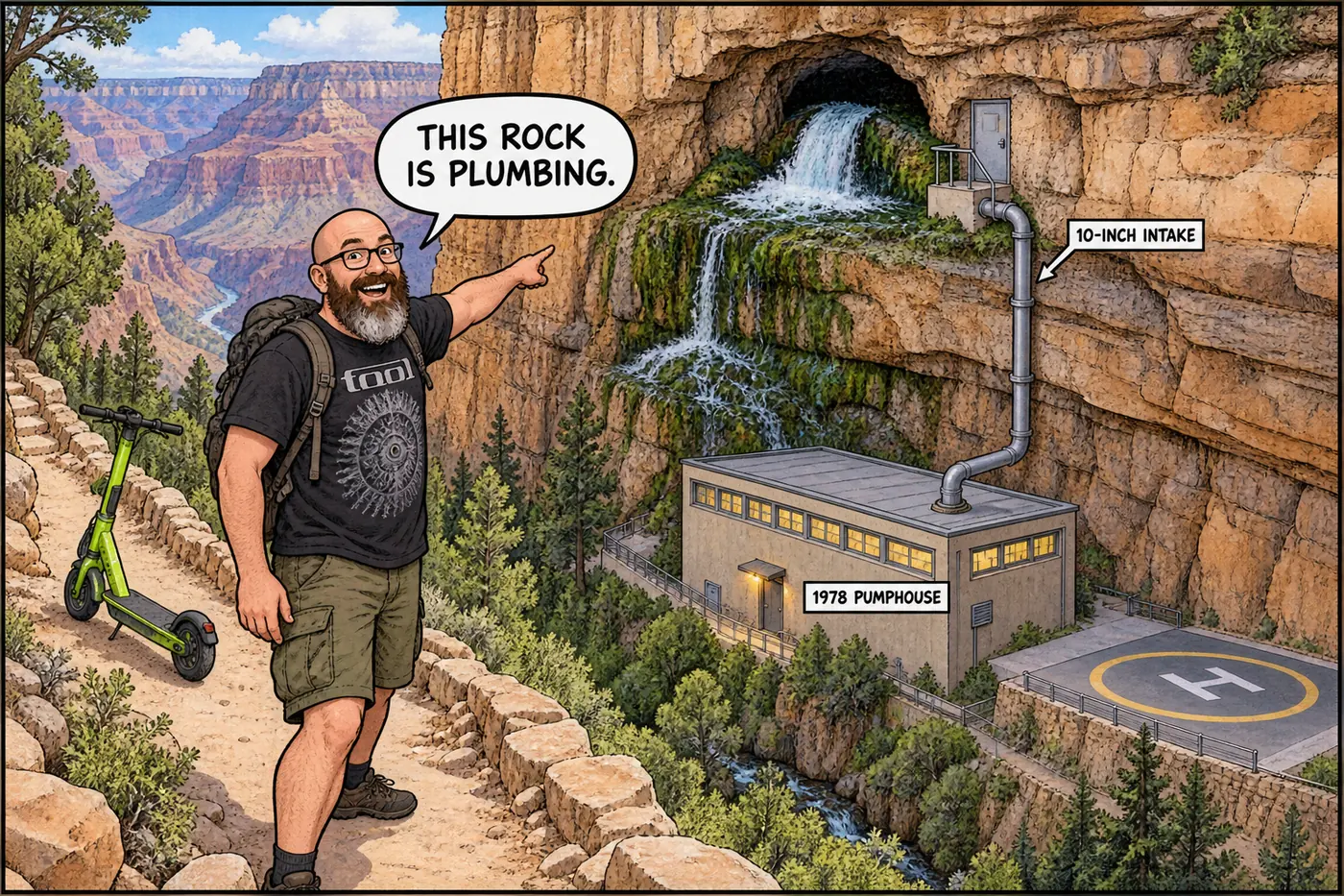
A North Rim spring that supplied all of Grand Canyon’s piped water for decades, staffed by a live-in caretaker for 33 years, now off-limits and mid-rebuild.
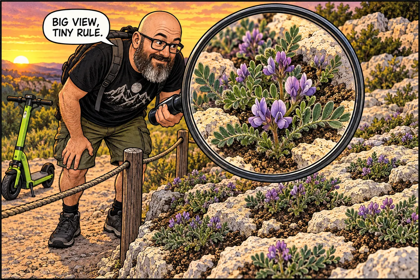
Why a South Rim plant area is closed, how parking-lot removal aided restoration, and why old population figures and recovery targets mislead.
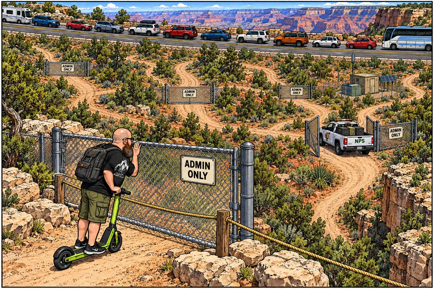
Behind the two public highways sits a second network of gated fire roads, firing-range roads and wilderness closures. What’s shut, to whom, and why.
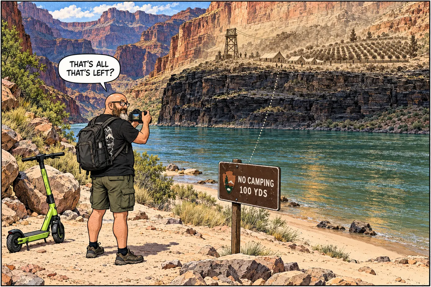
A narrow modern setback rule sits where William Bass ran a cable crossing and orchard that completed the canyon’s first rim-to-rim trail.
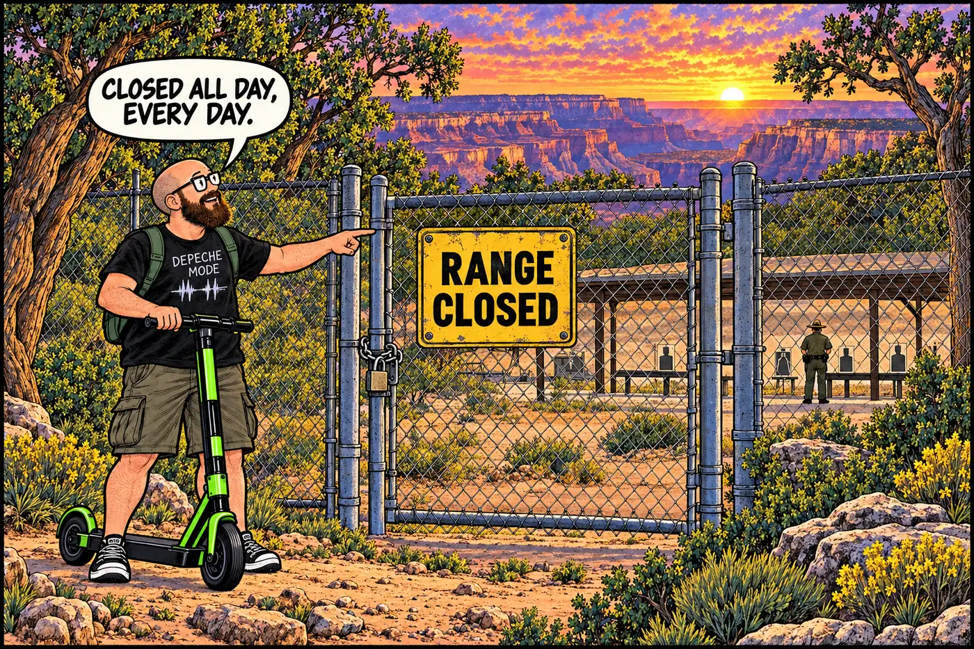
A fenced range and access road on the South Rim, closed to the public at all hours so rangers can train and qualify on firearms without endangering visitors.
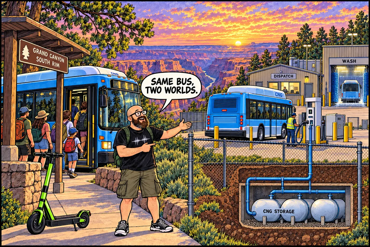
7.6 million riders a year, one contractor since 2000, and a bus compound fenced off from the very visitors it moves.
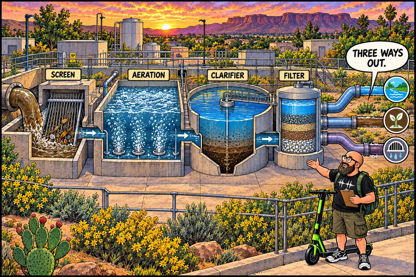
The South Rim’s fenced 1972 wastewater plant, its lagoons, and a 2025 USGS study that traced PFAS and drugs from its effluent into a nearby spring.
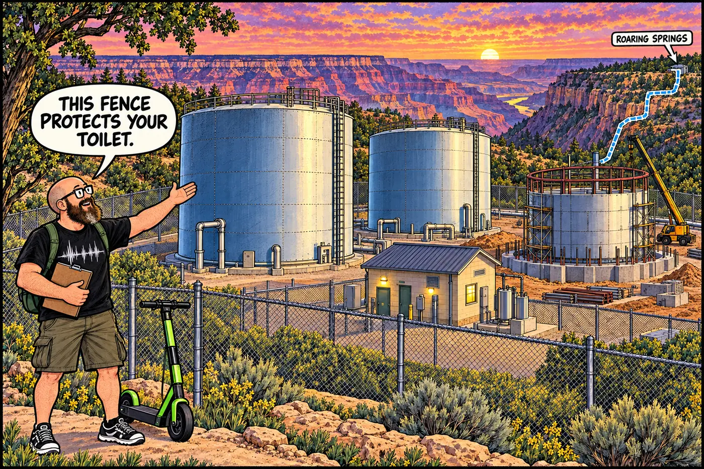
Two fenced tanks near Trailer Village hold all the South Rim’s water. In 2025-2026 they ran low four separate times.
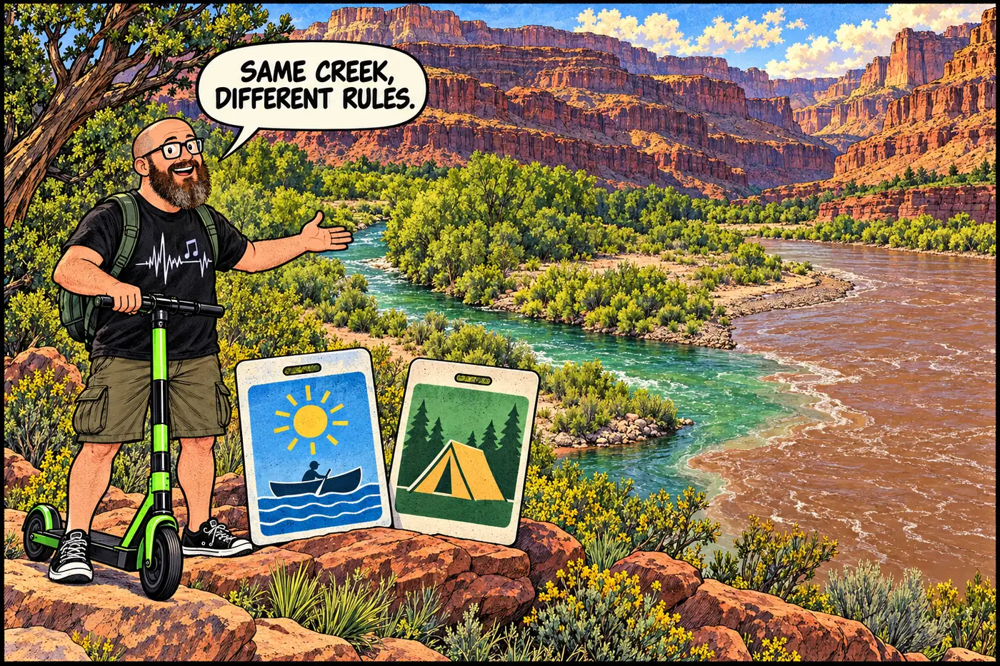
Tapeats Creek is open for river-trip day visits, but not river-trip camping at the confluence. Backpacker sites and a separate Thunder River camping closure follow different rules.