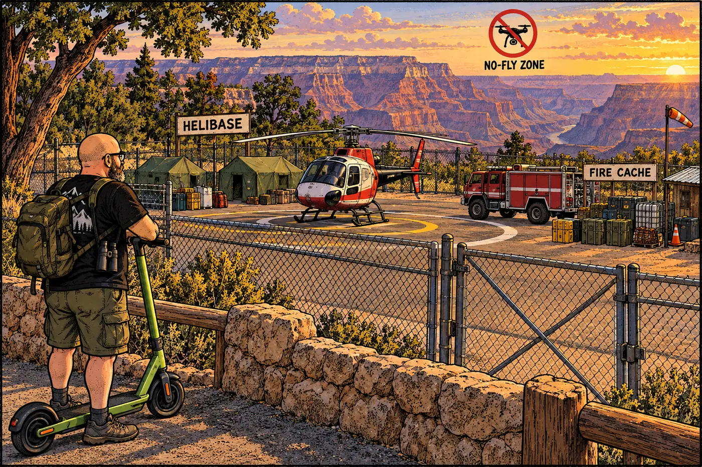
Helipads and Remote Helicopter Sites at the Grand Canyon
One named helistop, one fenced helibase, and a federal flight-free zone dating to two mid-air disasters. Where the canyon’s helicopters are actually allowed to land.
One named helistop, one fenced helibase, and a federal flight-free zone dating to two mid-air disasters. Where the canyon’s helicopters are actually allowed to land.
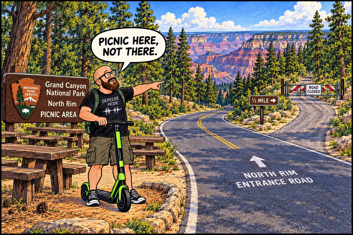
A gated old landfill near the North Rim Entrance Road is well documented; the hill it’s named for, and why, is not.
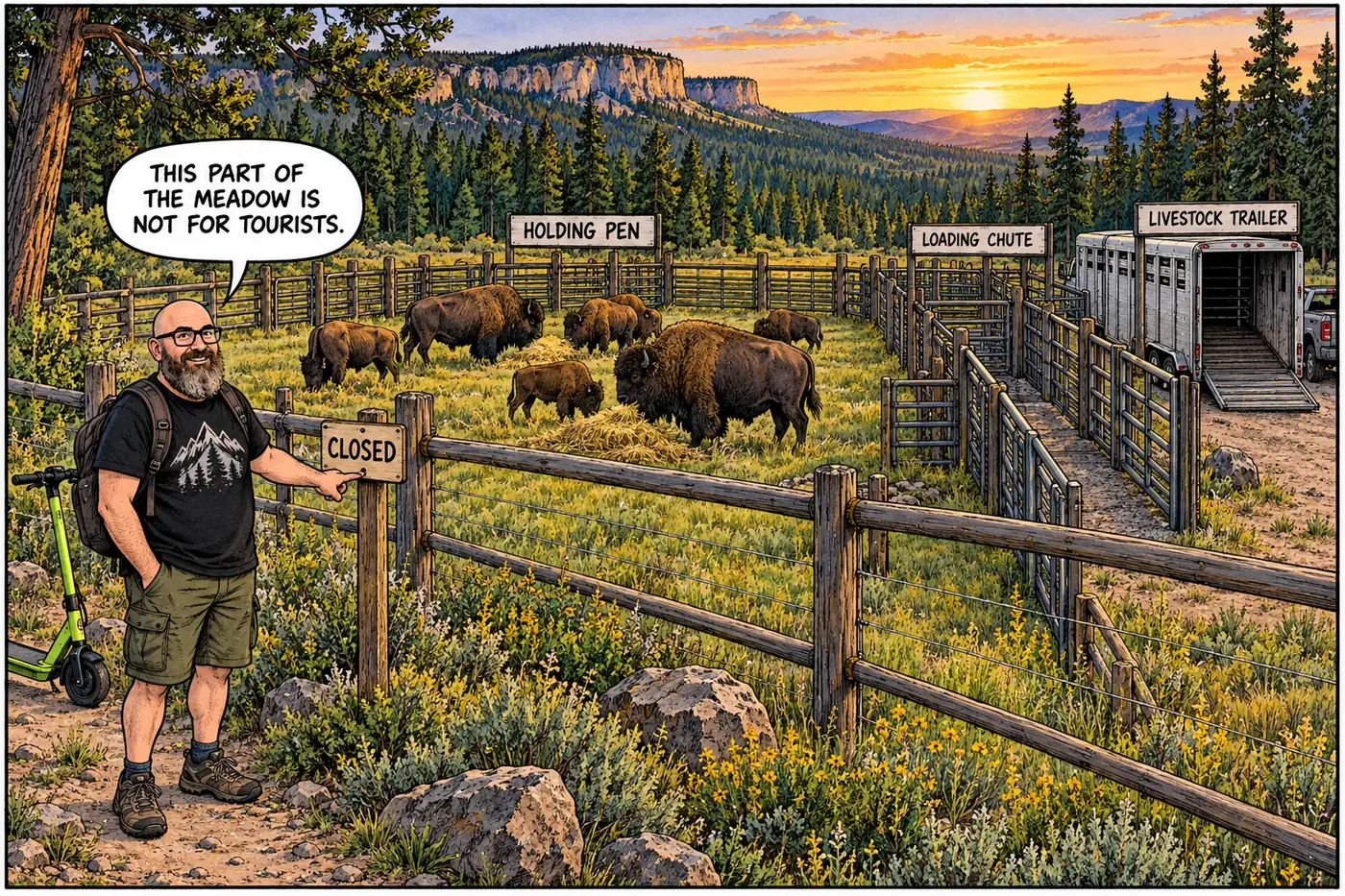
A closed North Rim meadow hides a livestock corral built to catch wild bison descended from a 1906 failed cattle-crossbreeding scheme.
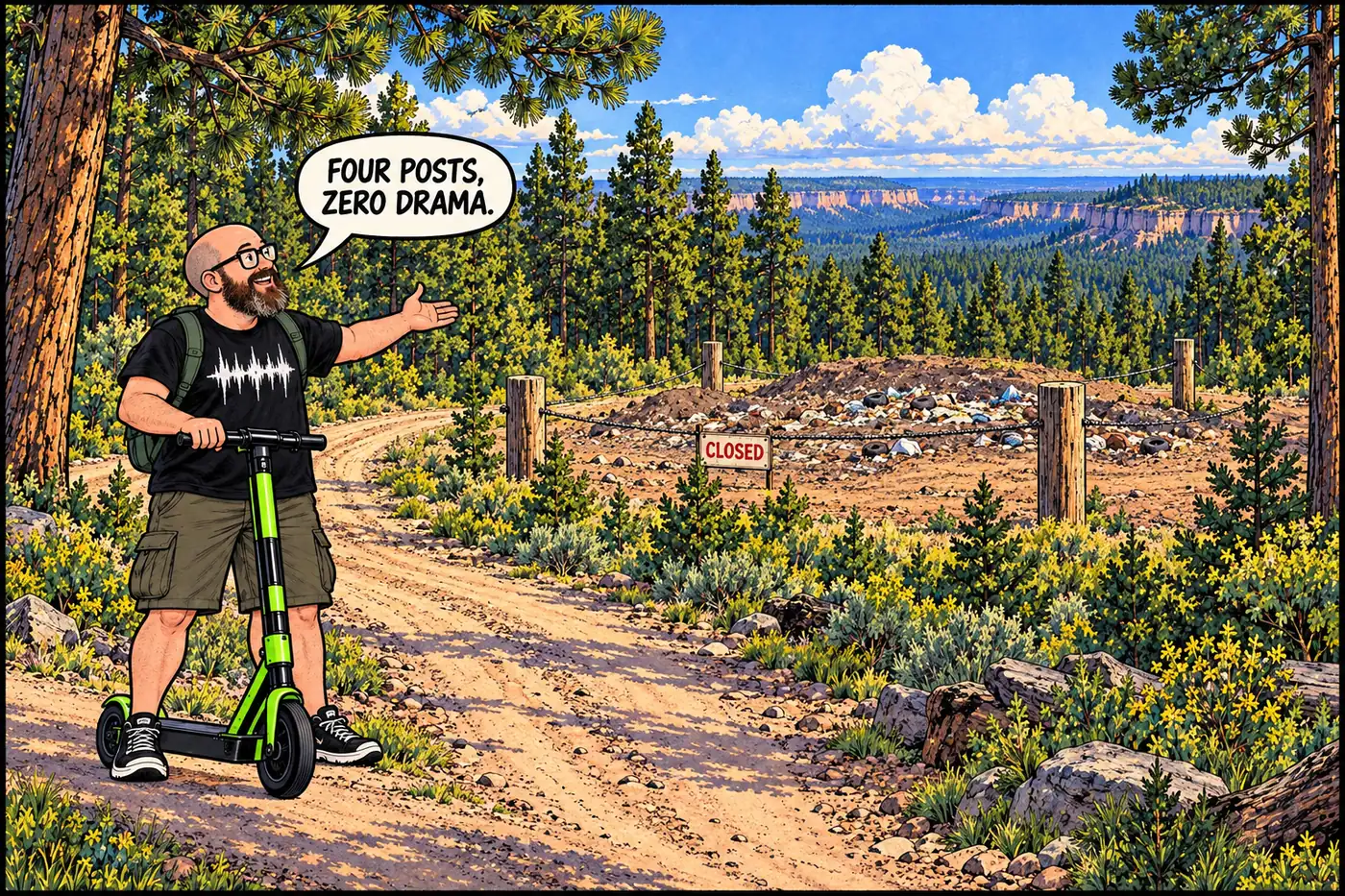
Off a fire road near the Widforss Trail, a small closed landfill traces the North Rim’s slow, late build-out of its own utilities.
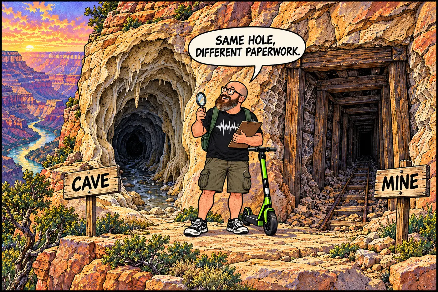
Federal and park rules define caves and mines differently, deciding who needs a permit, why a site is closed, and how NPS counts what is underground.
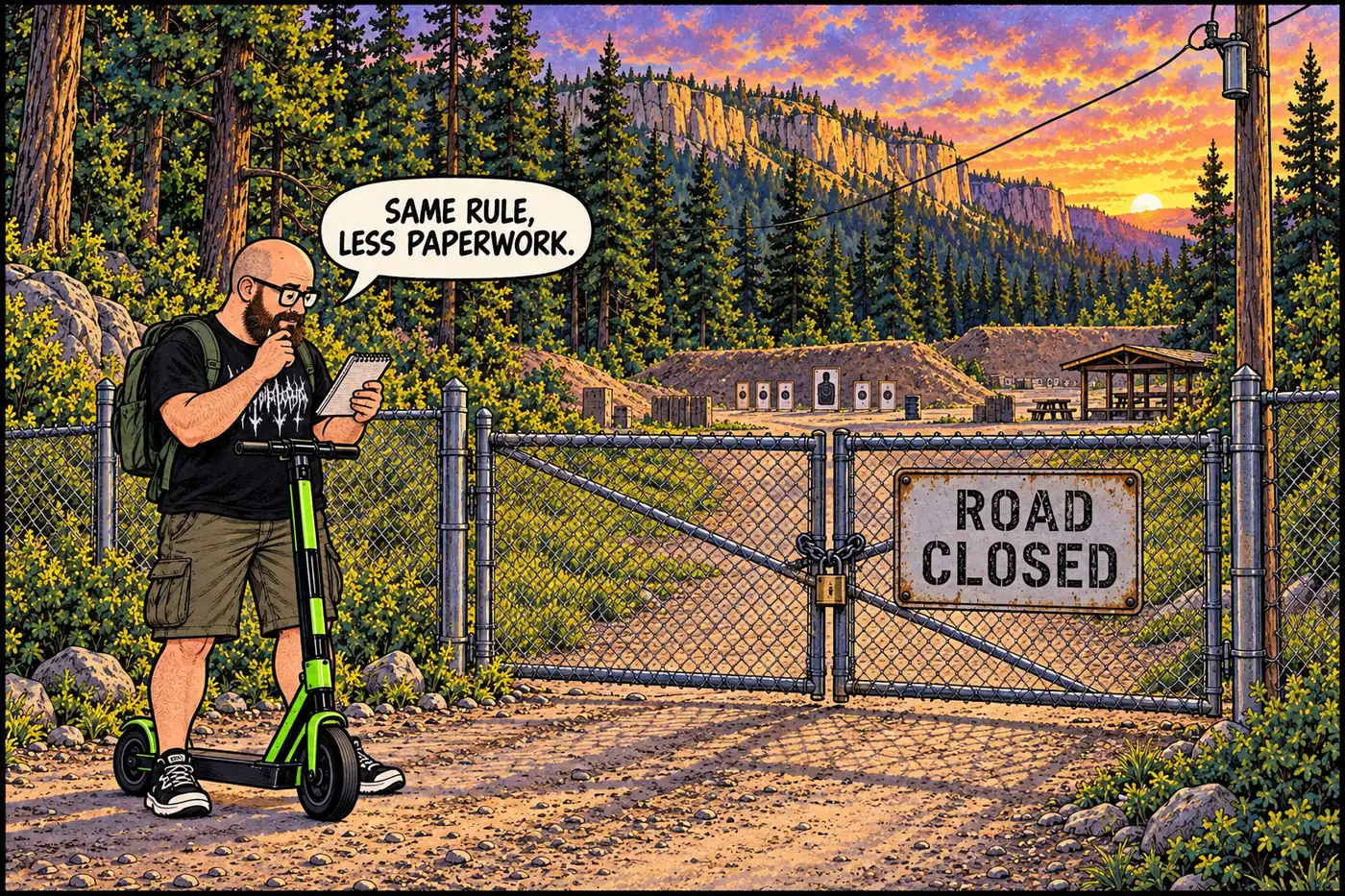
The North Rim’s own closed firing range, restricted under the same rule as the South Rim’s, with a much thinner public paper trail.
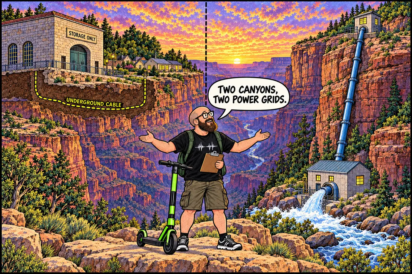
From a 1926 railroad powerhouse to a 2024 substation upgrade, how the South Rim, North Rim, and inner canyon actually get electricity.
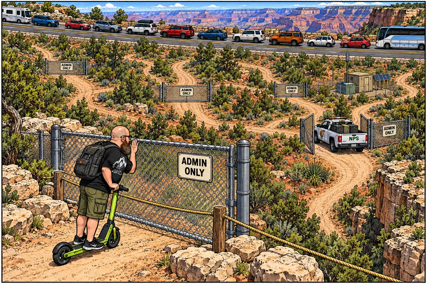
Behind the two public highways sits a second network of gated fire roads, firing-range roads and wilderness closures. What’s shut, to whom, and why.
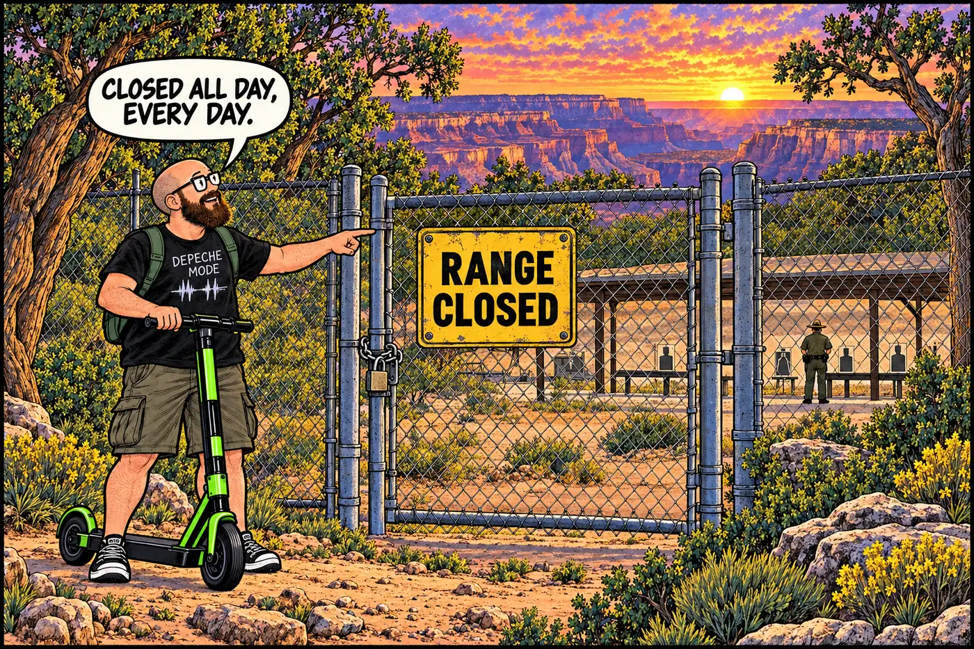
A fenced range and access road on the South Rim, closed to the public at all hours so rangers can train and qualify on firearms without endangering visitors.
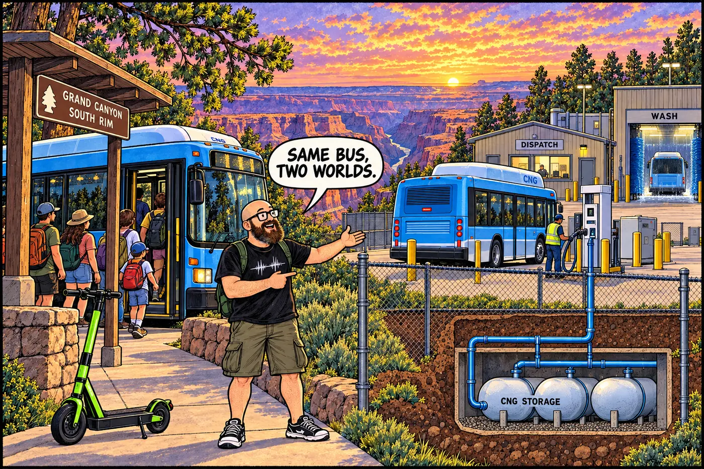
7.6 million riders a year, one contractor since 2000, and a bus compound fenced off from the very visitors it moves.