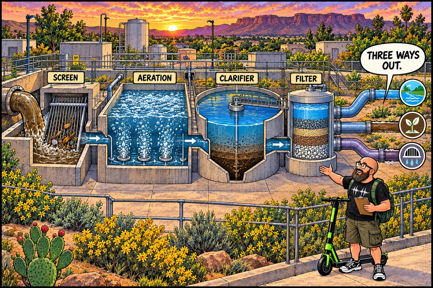
Labeled cutaway illustration of the South Rim wastewater treatment plant showing screening, aeration, clarifier, and filtration stages with water splitting three ways at the end

South Rim Wastewater Treatment Plant — process, lagoons, and a 2025 PFAS finding

The South Rim’s fenced 1972 wastewater plant, its lagoons, and a 2025 USGS study that traced PFAS and drugs from its effluent into a nearby spring.
September 23, 2026 · 7 min · 1302 words · Justin
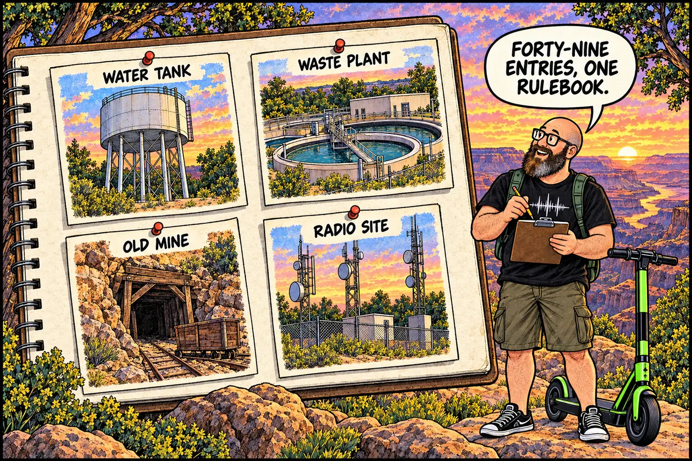
Cutaway illustrated map-style panel showing labeled fenced compound icons for a wastewater plant, a water tank, a mine gate, and a repeater tower arranged like index cards over a stylized canyon rim, no real coordinates shown

The Full Catalog: Every NPS Closure in the 2026 Compendium

All 49 numbered closures from Grand Canyon’s official compendium, organized by district with the stated reason and CFR citation for each.
September 23, 2026 · 7 min · 1439 words · Justin
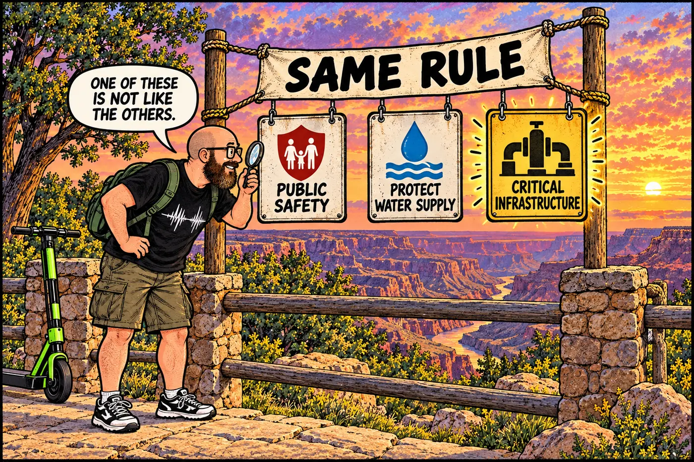
Labeled illustration comparing a pumphouse closure sign reading critical infrastructure against other park closure signs with different wording, all under one shared regulation banner

The One Time Grand Canyon's Rulebook Says "Critical Infrastructure"

The park’s closure rulebook uses the phrase only once, for one pumphouse — every other infrastructure closure runs on the same law, different wording.
September 23, 2026 · 7 min · 1383 words · Justin
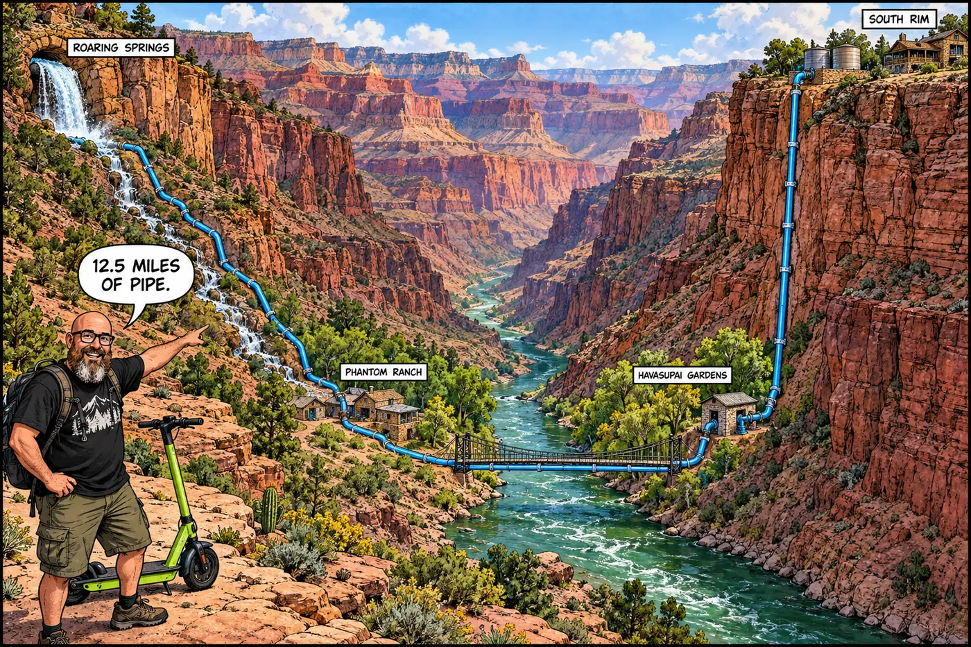
Comic cutaway of the Grand Canyon showing a blue pipeline running from Roaring Springs past Phantom Ranch and Havasupai Gardens up to the South Rim.

The Transcanyon Waterline: One Pipe, One Canyon, No Backup

How a 1960s aluminum pipe across the Grand Canyon came to supply every South Rim facility, why it broke 85-plus times, and what the August 2026 flood did to its $208 million replacement.
September 23, 2026 · 10 min · 1986 words · Justin
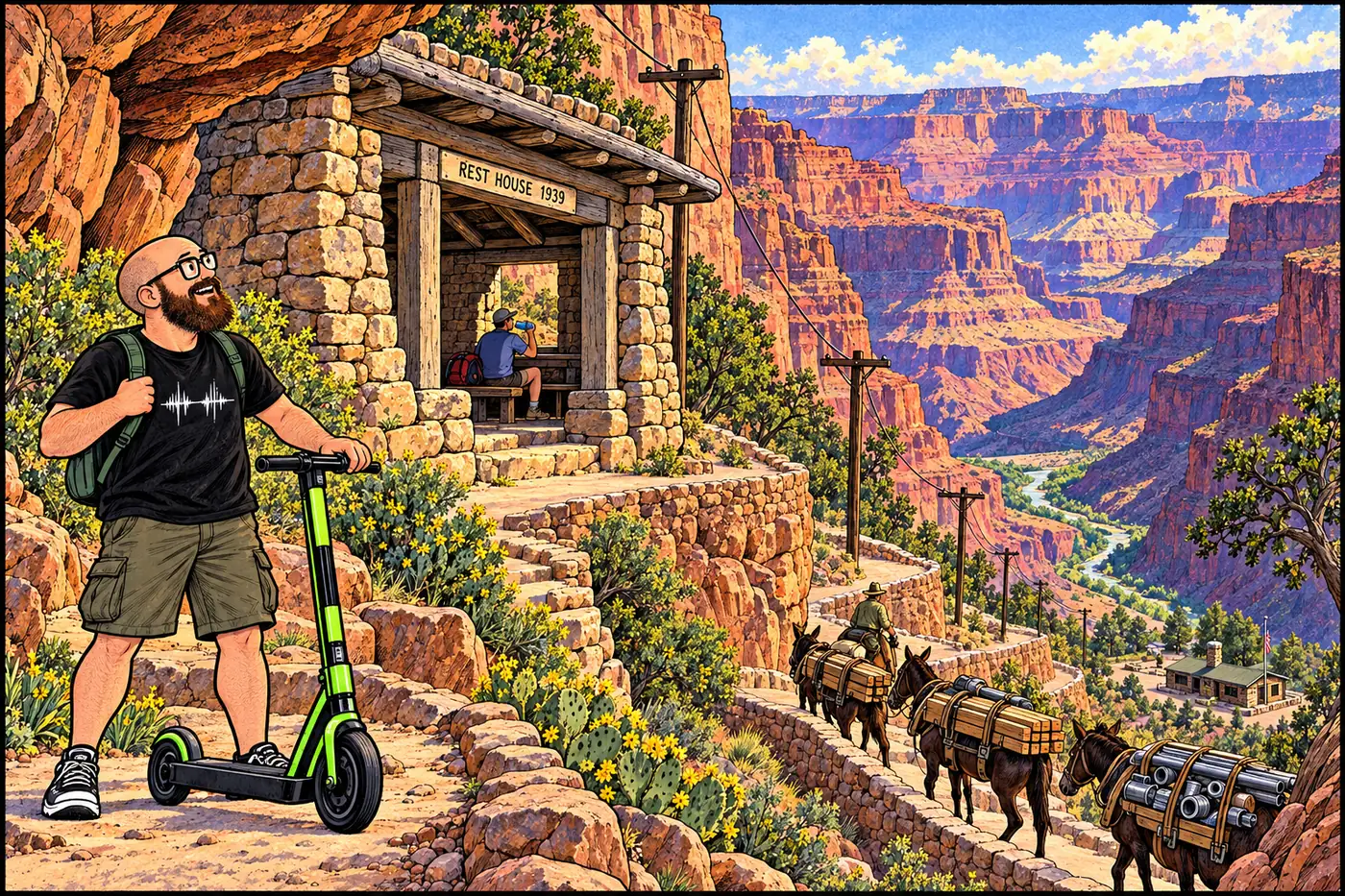
Labeled cutaway illustration of a canyon trail showing a stone CCC rest house, a mule supply train, and a ranger station connected by a telephone line

Trail Maintenance, Ranger Stations and Remote Caches of the Canyon

CCC rock shelters still shelter hikers, a 1966 ranger station still runs, and a century-old station is still protected by name in the park’s current rulebook.
September 23, 2026 · 9 min · 1803 words · Justin
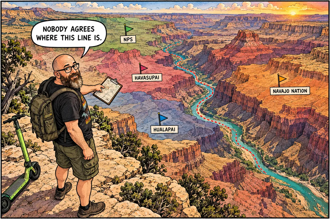
Labeled cutaway map-style illustration showing Grand Canyon National Park's boundary meeting Havasupai, Hualapai, and Navajo Nation lands, with a dotted disputed-boundary line along the river

Tribal vs. NPS Jurisdiction at Grand Canyon: How the Map Works

Eleven tribes border or hold rights inside the park, and two boundary lines — Hualapai and Navajo — are still legally disputed with NPS.
September 23, 2026 · 9 min · 1868 words · Justin
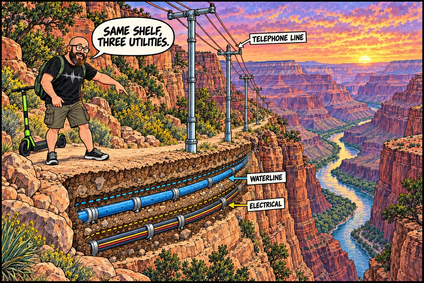
Labeled cross-section cutaway of the Bright Angel Trail corridor showing the buried waterline, the pipe-pole telephone line, and later electrical conduit all running side by side down the same narrow shelf of ground

Utility Tunnels, Conduits and Buried Infrastructure at Grand Canyon

There’s no secret tunnel network. There is a 1926 buried power cable, a phone line made of pipe, and a shared trail-side corridor a century old.
September 23, 2026 · 8 min · 1622 words · Justin
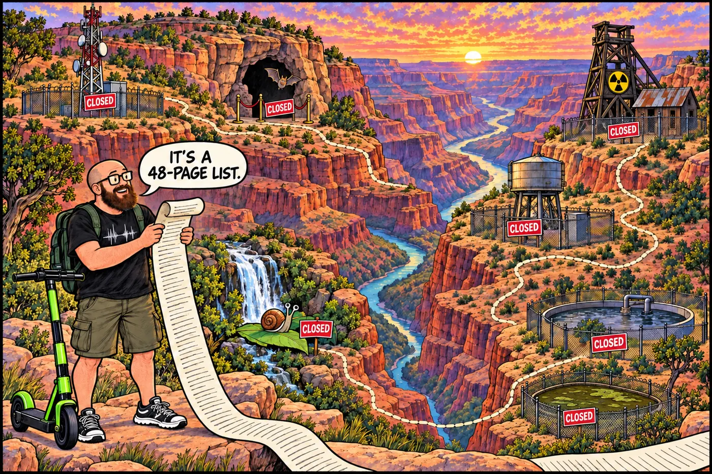
Treasure-map style comic of the Grand Canyon dotted with closed signs at a radio tower, a bat cave, a uranium mine, and a snail habitat.

What's Actually Off-Limits at the Grand Canyon, and Why

The Grand Canyon publishes a 48-page list of places you can’t go. Uranium, asbestos, bats, a snail, sewage lagoons, tribal land, and zero Egyptian cities: here’s what’s closed and the legal reason why.
September 23, 2026 · 13 min · 2560 words · Justin
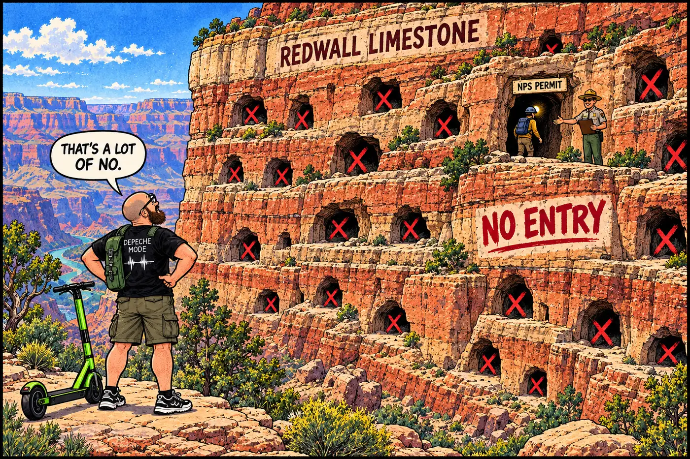
Cutaway map illustration of a canyon cliff face showing a permitted researcher entering one labeled cave while dozens of other cave openings nearby are shown blocked and unlabeled

Why almost every Grand Canyon cave is legally off-limits

A 1988 federal law makes cave locations confidential; the park’s own rule goes further and requires a permit just to walk in.

September 23, 2026 · 9 min · 1723 words · Justin