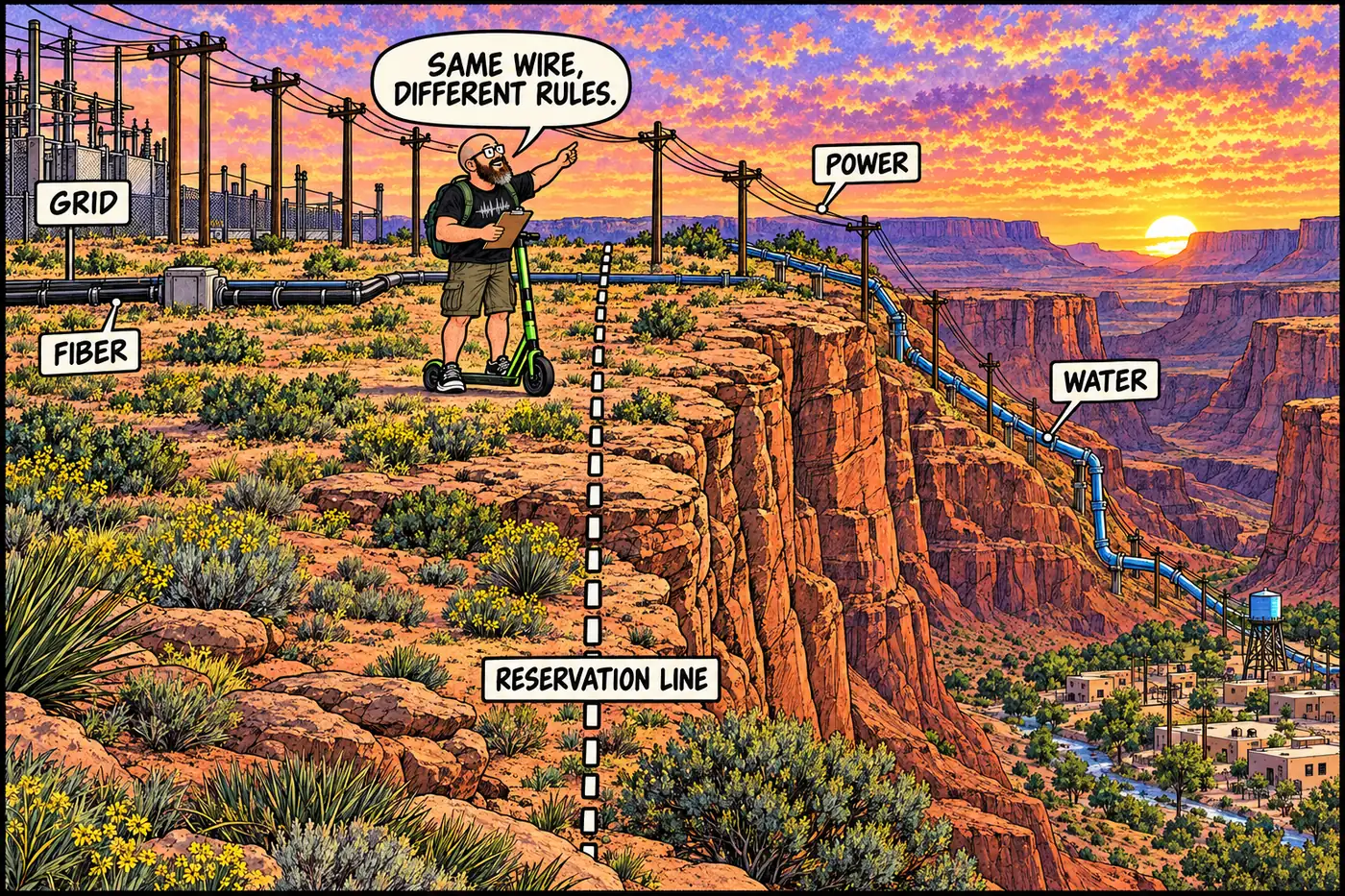
Infrastructure That Crosses Grand Canyon's Tribal-NPS Lines
The power line, fiber route, and planned water pipeline that cross from federal or tribal land onto Havasupai and Hualapai land to serve those communities.
The power line, fiber route, and planned water pipeline that cross from federal or tribal land onto Havasupai and Hualapai land to serve those communities.
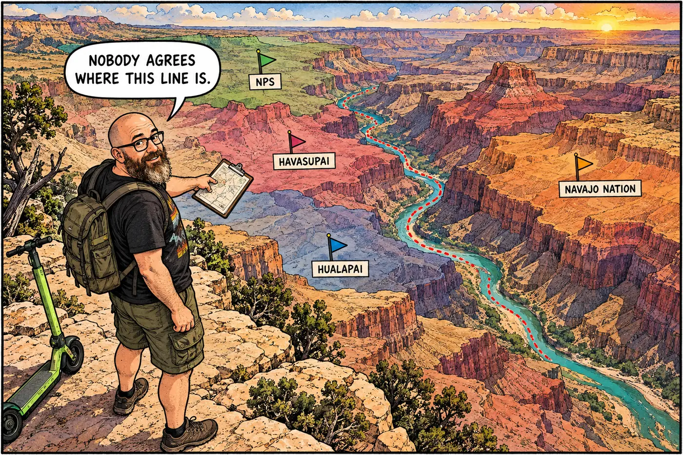
Eleven tribes border or hold rights inside the park, and two boundary lines — Hualapai and Navajo — are still legally disputed with NPS.